5780 N 1100th Rd Colchester, IL 62326
Estimated Value: $94,000 - $170,000
2
Beds
--
Bath
923
Sq Ft
$140/Sq Ft
Est. Value
About This Home
This home is located at 5780 N 1100th Rd, Colchester, IL 62326 and is currently estimated at $129,464, approximately $140 per square foot. 5780 N 1100th Rd is a home located in McDonough County with nearby schools including West Prairie High School.
Ownership History
Date
Name
Owned For
Owner Type
Purchase Details
Closed on
Apr 26, 2017
Sold by
Brown Gerald Wayne and Brown Rogers Glenn
Bought by
Brown David and Brown Shawna
Current Estimated Value
Home Financials for this Owner
Home Financials are based on the most recent Mortgage that was taken out on this home.
Original Mortgage
$120,150
Outstanding Balance
$99,865
Interest Rate
4.08%
Mortgage Type
New Conventional
Estimated Equity
$29,599
Create a Home Valuation Report for This Property
The Home Valuation Report is an in-depth analysis detailing your home's value as well as a comparison with similar homes in the area
Home Values in the Area
Average Home Value in this Area
Purchase History
| Date | Buyer | Sale Price | Title Company |
|---|---|---|---|
| Brown David | -- | None Available |
Source: Public Records
Mortgage History
| Date | Status | Borrower | Loan Amount |
|---|---|---|---|
| Open | Brown David | $120,150 |
Source: Public Records
Tax History Compared to Growth
Tax History
| Year | Tax Paid | Tax Assessment Tax Assessment Total Assessment is a certain percentage of the fair market value that is determined by local assessors to be the total taxable value of land and additions on the property. | Land | Improvement |
|---|---|---|---|---|
| 2024 | $2,497 | $34,211 | $8,506 | $25,705 |
| 2023 | $2,348 | $32,369 | $8,048 | $24,321 |
| 2022 | $2,220 | $30,784 | $7,654 | $23,130 |
| 2021 | $1,263 | $30,142 | $7,494 | $22,648 |
| 2020 | $1,223 | $37,007 | $7,369 | $29,638 |
| 2019 | $1,250 | $30,129 | $7,491 | $22,638 |
| 2018 | $1,245 | $30,693 | $7,631 | $23,062 |
| 2017 | $0 | $20,443 | $7,631 | $12,812 |
| 2016 | $0 | $20,042 | $7,481 | $12,561 |
| 2015 | -- | $19,709 | $7,357 | $12,352 |
| 2014 | -- | $19,414 | $7,247 | $12,167 |
| 2013 | -- | $18,315 | $6,837 | $11,478 |
Source: Public Records
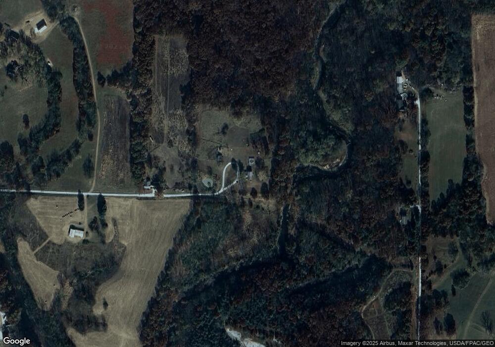
Map
Nearby Homes
- 5700 N 1100th Rd
- 11030 E 600th St
- 0 N 1100th Rd
- 10790 E 600th St
- 1515 N Coal Rd
- 1191 N Coal Rd
- 1005 N Coal Rd
- 1075 N Coal Rd
- 10805 E 600th St
- 1240 N Coal Rd
- 1160 N Coal Rd
- 1130 N Coal Rd
- 1560 N Coal Rd
- 10710 E 600th St
- 1110 N Coal Rd
- 915 N Coal Rd
- 1620 N Coal Rd
- 1474 N Coal Rd
- 900 N Coal Rd
- 885 N Coal Rd