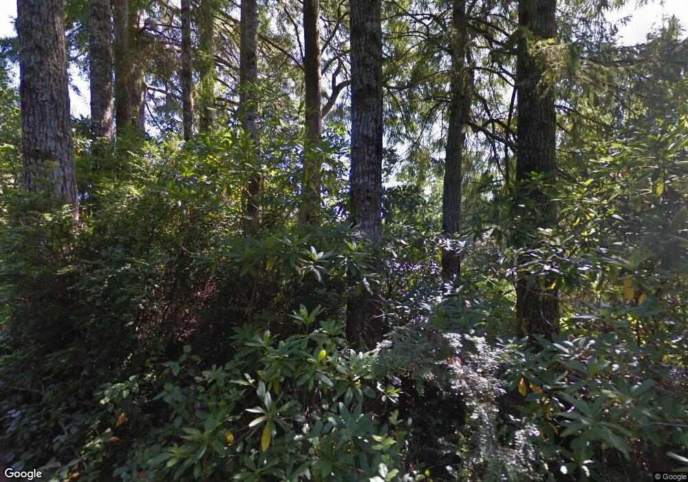
5784 Martin Rd Florence, OR 97439
Estimated Value: $730,000 - $1,457,432
3
Beds
3
Baths
3,328
Sq Ft
$353/Sq Ft
Est. Value
About This Home
This home is located at 5784 Martin Rd, Florence, OR 97439 and is currently estimated at $1,174,144, approximately $352 per square foot. 5784 Martin Rd is a home located in Lane County with nearby schools including Siuslaw Elementary School, Siuslaw Middle School, and Siuslaw High School.
Ownership History
Date
Name
Owned For
Owner Type
Purchase Details
Closed on
Nov 23, 2009
Sold by
Brown Ronald E
Bought by
Brown Ronald E and Spiller Connie
Current Estimated Value
Purchase Details
Closed on
Oct 7, 2003
Sold by
Michelson John A
Bought by
Brown Ronald E and Brown Carolyn R
Home Financials for this Owner
Home Financials are based on the most recent Mortgage that was taken out on this home.
Original Mortgage
$316,000
Outstanding Balance
$147,017
Interest Rate
6.4%
Mortgage Type
Purchase Money Mortgage
Estimated Equity
$1,027,127
Create a Home Valuation Report for This Property
The Home Valuation Report is an in-depth analysis detailing your home's value as well as a comparison with similar homes in the area
Home Values in the Area
Average Home Value in this Area
Purchase History
| Date | Buyer | Sale Price | Title Company |
|---|---|---|---|
| Brown Ronald E | -- | Accommodation | |
| Brown Ronald E | $395,000 | Western Pioneer Title Co |
Source: Public Records
Mortgage History
| Date | Status | Borrower | Loan Amount |
|---|---|---|---|
| Open | Brown Ronald E | $316,000 |
Source: Public Records
Tax History Compared to Growth
Tax History
| Year | Tax Paid | Tax Assessment Tax Assessment Total Assessment is a certain percentage of the fair market value that is determined by local assessors to be the total taxable value of land and additions on the property. | Land | Improvement |
|---|---|---|---|---|
| 2025 | $3,867 | $351,389 | -- | -- |
| 2024 | $3,746 | $341,155 | -- | -- |
| 2023 | $3,746 | $331,219 | $0 | $0 |
| 2022 | $3,490 | $321,572 | $0 | $0 |
| 2021 | $3,392 | $312,206 | $0 | $0 |
| 2020 | $3,294 | $303,113 | $0 | $0 |
| 2019 | $3,164 | $294,285 | $0 | $0 |
| 2018 | $3,198 | $277,392 | $0 | $0 |
| 2017 | $3,079 | $277,392 | $0 | $0 |
| 2016 | $2,992 | $269,313 | $0 | $0 |
| 2015 | $2,991 | $261,469 | $0 | $0 |
| 2014 | $2,943 | $253,853 | $0 | $0 |
Source: Public Records
Map
Nearby Homes
- 0 Nordahl Rd Unit 728106937
- 0 Munsel Lake Rd Unit 23145536
- 325 Jonathan Ln
- 216 Munsel Creek Loop
- 0 Munsel Lake-Tl00301 Rd
- 507 Robin Ln
- 0 Tl00600 Unit 273098679
- 87735 Highway 101 Unit 28
- 0 Tl1700 Hwy 101
- 3314 Munsel Lake Rd
- 3890 Spruce St
- 39 Ocean Dunes Dr
- 3292 Munsel Lake Rd
- 3562 Jake Mann Ln
- 5262 Nopal St
- 5282 Nopal St
- 5270 Nopal St
- 1447 53rd St
- 1437 53rd St
- 5287 Maple St
- 5816 Martin Rd
- 5772 Nicholson Rd
- 5742 Nicholson Rd
- 5732 Nicholson Rd
- 5840 Martin Rd
- 5736 Martin Rd
- 5736 Martin Rd
- 5730 Nordahl Rd
- 5760 Nicholson Rd
- 5712 Nordahl Rd
- 5864 Martin Rd
- 5737 Nordahl Rd
- 5725 Nordahl Rd
- 5859 Martin Rd
- 5707 Nordahl Rd
- 5673 Martin Rd
- 5638 Martin Rd
- 5657 Martin Rd
- 0 Nordahl Rd
- 5635 Martin Rd
