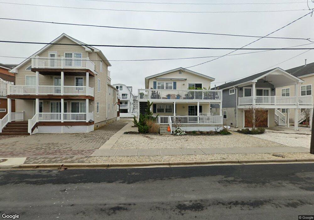
579 22nd St Unit B Avalon, NJ 08202
Estimated Value: $881,063 - $1,282,000
--
Bed
--
Bath
1,008
Sq Ft
$1,091/Sq Ft
Est. Value
About This Home
This home is located at 579 22nd St Unit B, Avalon, NJ 08202 and is currently estimated at $1,099,766, approximately $1,091 per square foot. 579 22nd St Unit B is a home located in Cape May County with nearby schools including Avalon Elementary School.
Ownership History
Date
Name
Owned For
Owner Type
Purchase Details
Closed on
Mar 11, 2011
Sold by
Neeld Paul S
Bought by
Cartwright Joseph E and Cartwright Kimberly M
Current Estimated Value
Home Financials for this Owner
Home Financials are based on the most recent Mortgage that was taken out on this home.
Original Mortgage
$256,875
Outstanding Balance
$165,409
Interest Rate
3.5%
Mortgage Type
Adjustable Rate Mortgage/ARM
Estimated Equity
$934,357
Purchase Details
Closed on
Nov 22, 2010
Sold by
Neeld Paul S and Neeld Laura W
Bought by
Neeld Paul S
Purchase Details
Closed on
Oct 30, 2006
Sold by
Markovitz Judith S
Bought by
Neeld Paul S and Neeld Laura W
Home Financials for this Owner
Home Financials are based on the most recent Mortgage that was taken out on this home.
Original Mortgage
$45,500
Interest Rate
6.31%
Mortgage Type
Stand Alone Second
Purchase Details
Closed on
Sep 24, 1999
Sold by
Gould William F
Bought by
Markovitz Judith S
Create a Home Valuation Report for This Property
The Home Valuation Report is an in-depth analysis detailing your home's value as well as a comparison with similar homes in the area
Home Values in the Area
Average Home Value in this Area
Purchase History
| Date | Buyer | Sale Price | Title Company |
|---|---|---|---|
| Cartwright Joseph E | $342,500 | None Available | |
| Neeld Paul S | -- | None Available | |
| Neeld Paul S | $460,000 | The Title Company Of Jersey | |
| Markovitz Judith S | $94,000 | -- |
Source: Public Records
Mortgage History
| Date | Status | Borrower | Loan Amount |
|---|---|---|---|
| Open | Cartwright Joseph E | $256,875 | |
| Previous Owner | Neeld Paul S | $45,500 | |
| Previous Owner | Neeld Paul S | $368,000 |
Source: Public Records
Tax History Compared to Growth
Tax History
| Year | Tax Paid | Tax Assessment Tax Assessment Total Assessment is a certain percentage of the fair market value that is determined by local assessors to be the total taxable value of land and additions on the property. | Land | Improvement |
|---|---|---|---|---|
| 2025 | $3,106 | $505,800 | $400,000 | $105,800 |
| 2024 | $3,106 | $505,800 | $400,000 | $105,800 |
| 2023 | $3,080 | $505,800 | $400,000 | $105,800 |
| 2022 | $2,873 | $505,800 | $400,000 | $105,800 |
| 2021 | $2,767 | $505,800 | $400,000 | $105,800 |
| 2020 | $2,661 | $505,800 | $400,000 | $105,800 |
| 2019 | $2,580 | $505,800 | $400,000 | $105,800 |
| 2018 | $2,468 | $505,800 | $400,000 | $105,800 |
| 2017 | $2,247 | $404,200 | $325,000 | $79,200 |
| 2016 | $2,223 | $404,200 | $325,000 | $79,200 |
| 2015 | $2,187 | $404,200 | $325,000 | $79,200 |
| 2014 | $2,162 | $404,200 | $325,000 | $79,200 |
Source: Public Records
Map
Nearby Homes
- 503 20th St
- 647 Barry Rd
- 440 21st St Unit South (B)
- 431 24th St
- 890 21st St
- 415 20th St
- 389 22nd St
- 297 24th St Unit 297
- 297 24th St
- 2425 Harbor Ave Unit 2425
- 211 23rd St
- 212 25th St
- 212 25th St Unit East Unit
- 178 19th St
- 174 23rd St
- 161 24th St
- 179 27th St
- 279 13th St Unit C-6
- 279 13th St
- 128 16th St
- 579 22nd St Unit A
- 579 22nd St
- 585 22nd St
- 575 22nd St
- 567 22nd St
- 565 22nd St Unit 565
- 595 22nd St
- 2159 6th Ave
- 2159 6th Ave Unit 1
- 2159 6th Ave Unit 2
- 2159 6th Ave Unit 1
- 592 21st St
- 559 22nd St
- 2103 6th Ave
- 576 21st St Unit C2
- 576 21st St Unit C1
- 576 21st St Unit C-1, Front
- 572 21st St
- 572 21st St Unit 2nd Floor
- 551 22nd St