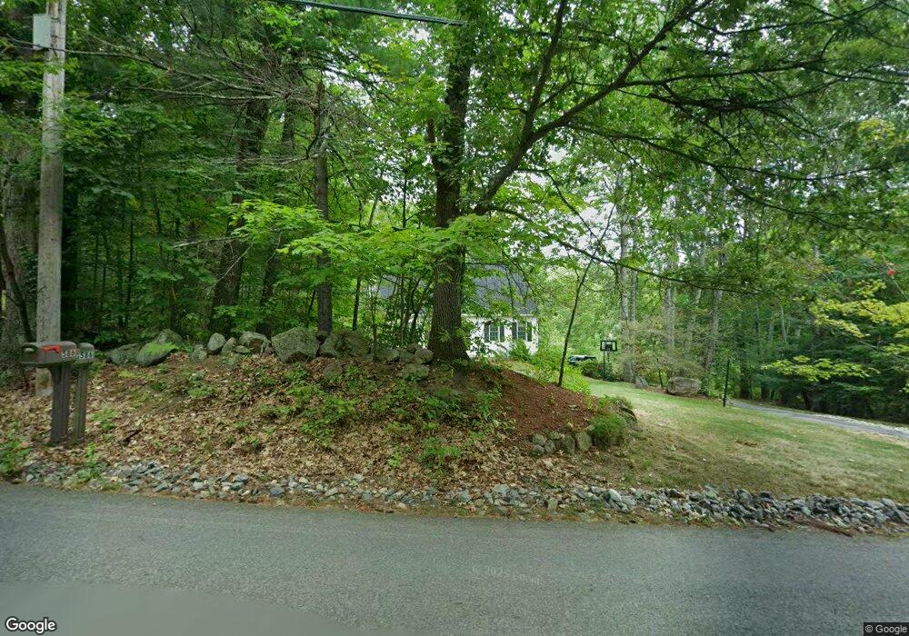
579 Mason Rd Milford, NH 03055
Estimated Value: $493,383 - $581,000
3
Beds
2
Baths
1,512
Sq Ft
$345/Sq Ft
Est. Value
About This Home
This home is located at 579 Mason Rd, Milford, NH 03055 and is currently estimated at $522,096, approximately $345 per square foot. 579 Mason Rd is a home with nearby schools including Jacques Memorial Elementary School, Heron Pond Elementary School, and Milford Middle School.
Ownership History
Date
Name
Owned For
Owner Type
Purchase Details
Closed on
Sep 18, 2001
Sold by
Arel Timothy J and Arel Heather L
Bought by
Hansen Ryan N and Hansen Jennifer M
Current Estimated Value
Home Financials for this Owner
Home Financials are based on the most recent Mortgage that was taken out on this home.
Original Mortgage
$170,000
Outstanding Balance
$66,291
Interest Rate
6.99%
Estimated Equity
$455,805
Create a Home Valuation Report for This Property
The Home Valuation Report is an in-depth analysis detailing your home's value as well as a comparison with similar homes in the area
Home Values in the Area
Average Home Value in this Area
Purchase History
| Date | Buyer | Sale Price | Title Company |
|---|---|---|---|
| Hansen Ryan N | $201,000 | -- |
Source: Public Records
Mortgage History
| Date | Status | Borrower | Loan Amount |
|---|---|---|---|
| Open | Hansen Ryan N | $30,000 | |
| Open | Hansen Ryan N | $170,000 |
Source: Public Records
Tax History Compared to Growth
Tax History
| Year | Tax Paid | Tax Assessment Tax Assessment Total Assessment is a certain percentage of the fair market value that is determined by local assessors to be the total taxable value of land and additions on the property. | Land | Improvement |
|---|---|---|---|---|
| 2024 | $7,042 | $297,500 | $78,400 | $219,100 |
| 2023 | $6,596 | $297,500 | $78,400 | $219,100 |
| 2022 | $6,185 | $297,500 | $78,400 | $219,100 |
| 2021 | $5,995 | $297,500 | $78,400 | $219,100 |
| 2020 | $7,073 | $278,800 | $63,300 | $215,500 |
| 2019 | $7,240 | $278,800 | $63,300 | $215,500 |
| 2018 | $6,653 | $227,600 | $63,300 | $164,300 |
| 2017 | $6,689 | $227,600 | $63,300 | $164,300 |
| 2016 | $6,591 | $227,600 | $63,300 | $164,300 |
| 2015 | $6,238 | $218,400 | $63,300 | $155,100 |
| 2014 | $5,962 | $218,400 | $63,300 | $155,100 |
| 2013 | $5,890 | $218,400 | $63,300 | $155,100 |
Source: Public Records
Map
Nearby Homes
- 119 Boynton Hill Rd
- 126 Boynton Hill Rd
- 415 Savage Rd
- Lot F-88-9 Aria Hill Dr
- 301 Mile Slip Rd
- F-88-7 Aria Hill Dr
- F-88-12 Aria Hill Dr
- F-88-10 Aria Hill Dr
- F-88-11 Aria Hill Dr
- 131 Badger Hill Dr
- 81 Badger Hill Dr
- 88 Noons Quarry Rd
- 18 Richfield Way
- 0 Ball Hill Rd
- 81 Abbot Hill Acres
- 545 Elm St Unit 34
- 134 Falcon Ridge Rd Unit 23
- 32 Larch Rd
- 30 Robbins Rd
- 26 Melendy Rd Unit 97