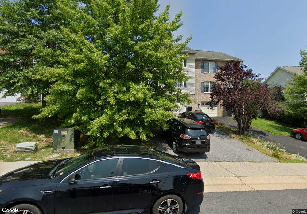
579 Pointe Dr Harrisonburg, VA 22801
Estimated Value: $294,000 - $362,542
3
Beds
3
Baths
2,004
Sq Ft
$162/Sq Ft
Est. Value
About This Home
This home is located at 579 Pointe Dr, Harrisonburg, VA 22801 and is currently estimated at $325,136, approximately $162 per square foot. 579 Pointe Dr is a home located in Harrisonburg City with nearby schools including Bluestone Elementary, Thomas Harrison Middle School, and Harrisonburg High School.
Ownership History
Date
Name
Owned For
Owner Type
Purchase Details
Closed on
Apr 7, 2016
Sold by
Peaksview Property Llc
Bought by
Ali Yasser I and Saoud Souzan H
Current Estimated Value
Home Financials for this Owner
Home Financials are based on the most recent Mortgage that was taken out on this home.
Original Mortgage
$138,380
Outstanding Balance
$109,418
Interest Rate
3.62%
Mortgage Type
FHA
Estimated Equity
$215,718
Purchase Details
Closed on
Oct 23, 2009
Sold by
V T Foura Lc
Bought by
Peaksview Property Llc
Create a Home Valuation Report for This Property
The Home Valuation Report is an in-depth analysis detailing your home's value as well as a comparison with similar homes in the area
Purchase History
| Date | Buyer | Sale Price | Title Company |
|---|---|---|---|
| Ali Yasser I | $170,000 | Chicago Title Insurance Co | |
| Peaksview Property Llc | -- | Stewart Title Shenandoah Val |
Source: Public Records
Mortgage History
| Date | Status | Borrower | Loan Amount |
|---|---|---|---|
| Open | Ali Yasser I | $138,380 |
Source: Public Records
Tax History
| Year | Tax Paid | Tax Assessment Tax Assessment Total Assessment is a certain percentage of the fair market value that is determined by local assessors to be the total taxable value of land and additions on the property. | Land | Improvement |
|---|---|---|---|---|
| 2025 | $2,871 | $294,600 | $42,000 | $252,600 |
| 2024 | $2,871 | $284,300 | $41,800 | $242,500 |
| 2023 | $2,394 | $249,400 | $41,600 | $207,800 |
| 2022 | $2,091 | $224,800 | $38,000 | $186,800 |
| 2021 | $1,843 | $204,800 | $36,000 | $168,800 |
| 2020 | $1,620 | $186,300 | $36,000 | $150,300 |
| 2019 | $1,488 | $170,900 | $36,000 | $134,900 |
| 2018 | $1,234 | $167,500 | $36,000 | $131,500 |
| 2017 | $1,234 | $165,300 | $36,000 | $129,300 |
| 2016 | $1,234 | $165,300 | $36,000 | $129,300 |
| 2015 | $1,234 | $171,400 | $36,000 | $135,400 |
| 2014 | -- | $165,900 | $38,000 | $127,900 |
Source: Public Records
Map
Nearby Homes
- 745 Wingtip Way
- 618 Zephyr Dr
- 2020 Shoeshine Ave
- 550 Grommet Dr
- 2060 Willow Hill Dr
- 2102 Willow Hill Dr
- 2122 Willow Hill Dr
- 2132 Willow Hill Dr
- 3313 Impression Ct
- 3322 Debbie Ct
- 1734 Amherst Ct
- 675 Stone Spring Rd
- Barbados Isle Basement Plan at Boulder Ridge - Villas
- Barbados Isle Plan at Boulder Ridge - Villas
- 3333 Marble Loop
- 105 Granite Rd
- 111 Obsidian Terrace
- 112 Obsidian Terrace
- Juniper Plan at Boulder Ridge - Towns
- Juniper w/ Basement Plan at Boulder Ridge - Towns
Your Personal Tour Guide
Ask me questions while you tour the home.