Estimated Value: $789,815 - $823,000
5
Beds
3
Baths
4,194
Sq Ft
$190/Sq Ft
Est. Value
About This Home
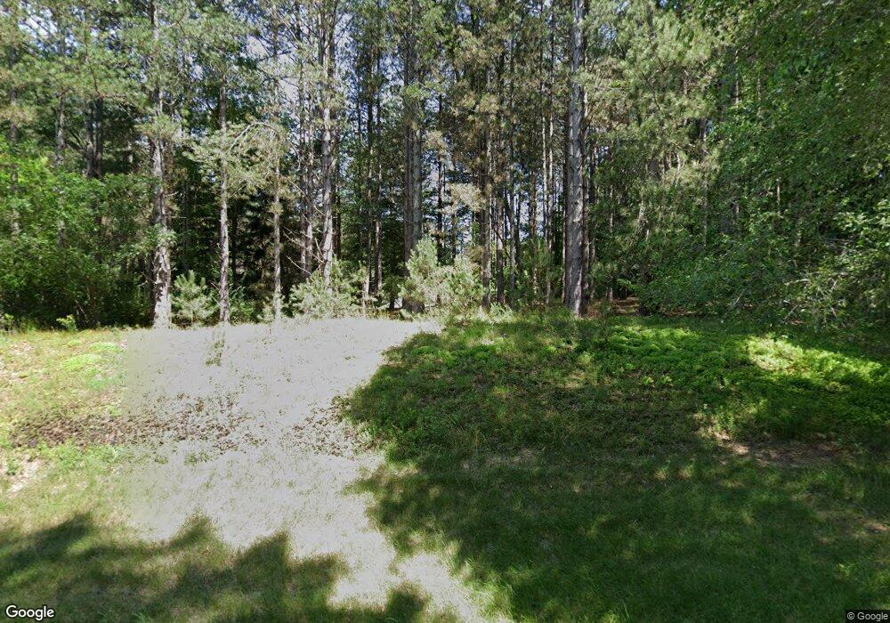
This home is located at 579 Roundtree Dr NE, Ada, MI 49301 and is currently estimated at $798,204, approximately $190 per square foot. 579 Roundtree Dr NE is a home located in Kent County with nearby schools including Knapp Forest Elementary School and Eastern High School.
Ownership History
Date
Name
Owned For
Owner Type
Purchase Details
Closed on
Apr 9, 2024
Sold by
Mracna Albert M
Bought by
Mracna Albert M and Mracna James Aaron
Current Estimated Value
Purchase Details
Closed on
May 28, 2021
Sold by
Mraena Albert M and Mraena Kellie
Bought by
Mracna Albert M and Mracna Alexandra
Purchase Details
Closed on
Jan 26, 2010
Sold by
Crean John E and Crean Frances Charleen
Bought by
Mracna Albert M and Mracna Kellie
Purchase Details
Closed on
Dec 9, 1996
Sold by
Sholtes Stephen M and Sholtes Patricia A
Bought by
Crean John E and Crean Frances C
Create a Home Valuation Report for This Property
The Home Valuation Report is an in-depth analysis detailing your home's value as well as a comparison with similar homes in the area
Home Values in the Area
Average Home Value in this Area
Purchase History
| Date | Buyer | Sale Price | Title Company |
|---|---|---|---|
| Mracna Albert M | -- | None Listed On Document | |
| Mracna Albert M | -- | None Available | |
| Mracna Albert M | $295,000 | Multiple | |
| Crean John E | $300,000 | -- |
Source: Public Records
Tax History Compared to Growth
Tax History
| Year | Tax Paid | Tax Assessment Tax Assessment Total Assessment is a certain percentage of the fair market value that is determined by local assessors to be the total taxable value of land and additions on the property. | Land | Improvement |
|---|---|---|---|---|
| 2025 | $3,957 | $332,500 | $0 | $0 |
| 2024 | $3,957 | $321,700 | $0 | $0 |
| 2023 | $5,711 | $259,300 | $0 | $0 |
| 2022 | $5,532 | $255,700 | $0 | $0 |
| 2021 | $5,317 | $241,200 | $0 | $0 |
| 2020 | $3,533 | $250,800 | $0 | $0 |
| 2019 | $4,824 | $202,700 | $0 | $0 |
| 2018 | $5,017 | $198,500 | $0 | $0 |
| 2017 | $5,001 | $167,600 | $0 | $0 |
| 2016 | $4,824 | $158,900 | $0 | $0 |
| 2015 | -- | $158,900 | $0 | $0 |
| 2013 | -- | $148,600 | $0 | $0 |
Source: Public Records
Map
Nearby Homes
- 742 Honey Creek
- 8050 Wilderness Trail NE
- 201 Honey Creek Ave NE
- 7351 Leonard St NE
- 7380 Leonard St NE
- 9300 Conservation St NE
- 8965 Vergennes St SE
- 1290 Cramton Ave NE
- 8945 Vergennes St SE
- 9529 Conservation St NE
- 7534 Watermill Dr Unit 41
- 7538 Watermill Dr Unit 42
- 737 Oxbow Ln SE Unit 13
- 731 Oxbow Ln SE Unit 16
- 733 Oxbow Ln SE Unit 15
- 735 Oxbow Ln SE Unit 14
- 8338 Fulton St E
- 729 Oxbow Ln SE Unit 17
- 7340 Thornapple River Dr SE
- 7033 Ada Depot Dr
- 585 Roundtree Dr NE
- 266 Greentree Ln NE
- 567 Roundtree Dr NE
- 580 Roundtree Dr NE
- 591 Roundtree Dr NE
- 575 Roundtree Dr NE
- 561 Roundtree Dr NE
- 8324 Conservation St NE
- 555 Roundtree Dr NE
- 554 Roundtree Dr NE
- 264 Greentree Ln NE
- 588 Roundtree Dr NE
- 8300 Conservation St NE
- 8220 Conservation St NE
- 644 Honey Creek Ave NE
- 8200 Conservation St NE
- 268 Greentree Ln NE
- 549 Roundtree Dr NE
- 548 Roundtree Dr NE
- 8326 Conservation St NE
