579 Shoal Rd Lincolnton, NC 28092
Estimated Value: $242,072 - $367,000
3
Beds
1
Bath
1,368
Sq Ft
$230/Sq Ft
Est. Value
About This Home
This home is located at 579 Shoal Rd, Lincolnton, NC 28092 and is currently estimated at $314,268, approximately $229 per square foot. 579 Shoal Rd is a home located in Lincoln County with nearby schools including Union Elementary School, West Lincoln Middle, and West Lincoln High School.
Ownership History
Date
Name
Owned For
Owner Type
Purchase Details
Closed on
Sep 20, 2016
Sold by
Pilcher Sandra K and Pilcher Ray
Bought by
Hamilton Ii Carles D
Current Estimated Value
Purchase Details
Closed on
Oct 3, 2013
Sold by
Hoover William F and High James L
Bought by
High James L and High Tracy E
Purchase Details
Closed on
Apr 13, 2011
Sold by
Hoover William F and High James L
Bought by
High James L and High Tracy E
Create a Home Valuation Report for This Property
The Home Valuation Report is an in-depth analysis detailing your home's value as well as a comparison with similar homes in the area
Home Values in the Area
Average Home Value in this Area
Purchase History
| Date | Buyer | Sale Price | Title Company |
|---|---|---|---|
| Hamilton Ii Carles D | $175,000 | None Available | |
| High James L | $4,500 | None Available | |
| High James L | -- | None Available |
Source: Public Records
Tax History Compared to Growth
Tax History
| Year | Tax Paid | Tax Assessment Tax Assessment Total Assessment is a certain percentage of the fair market value that is determined by local assessors to be the total taxable value of land and additions on the property. | Land | Improvement |
|---|---|---|---|---|
| 2025 | $876 | $162,927 | $74,212 | $88,715 |
| 2024 | $856 | $162,927 | $74,212 | $88,715 |
| 2023 | $851 | $162,927 | $74,212 | $88,715 |
| 2022 | $645 | $103,163 | $55,495 | $47,668 |
| 2021 | $645 | $103,163 | $55,495 | $47,668 |
| 2020 | $516 | $103,163 | $55,495 | $47,668 |
| 2019 | $516 | $103,163 | $55,495 | $47,668 |
| 2018 | $531 | $91,147 | $53,219 | $37,928 |
| 2017 | $430 | $91,147 | $53,219 | $37,928 |
| 2016 | $668 | $91,147 | $53,219 | $37,928 |
| 2015 | $739 | $91,147 | $53,219 | $37,928 |
| 2014 | $742 | $93,815 | $59,680 | $34,135 |
Source: Public Records
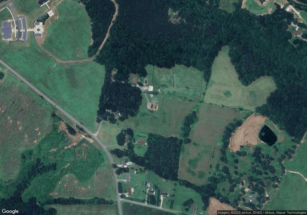
Map
Nearby Homes
- 508 Shoal Rd
- 4773 Westwinds Rd
- 00 McCurry Farm Ln Unit F1 & F2
- 00 Westwinds Rd Unit F3
- 3987 W Highway 27
- 00 Wilson Ct Unit 15
- 00 Wilson Ct Unit 13
- 00 Wilson Ct Unit 12
- 4832 Gideon Dr
- 00 Flay Rd
- 4850 Gideon Dr
- 5118 Flay Rd
- 3243 Wilson Ct Unit 11
- 5199 Helms End of Trail
- 5958 Hoover Elmore Rd
- 142 Alf Hoover Rd
- 5790 Summer Ln
- 5298 Hoover Elmore Rd
- 3300 Paul Heavner Ln
- 1551 J Rhyne Reep Rd
- 601 Shoal Rd
- 571 Shoal Rd
- 609 Shoal Rd
- 544 Shoal Rd
- 613 Shoal Rd
- 625 Shoal Rd
- 643 Shoal Rd
- 4544 Western Sky Ct
- 0 Shoal Rd Unit 2059984
- 1 Shoal Rd Unit 1
- 0 Shoal Rd Unit 1
- 00 Shoal Rd Unit 1
- 00 Shoal Rd Unit 2
- 00 Shoal Rd Unit 3
- 00 Shoal Rd Unit 7
- 00 Shoal Rd Unit 8
- 00 Shoal Rd
- 4532 Western Sky Ct
- 689 Shoal Rd
- 4510 Western Sky Ct