Estimated Value: $176,000 - $226,000
3
Beds
1
Bath
1,152
Sq Ft
$172/Sq Ft
Est. Value
About This Home
This home is located at 5791 Maple St, Brule, WI 54820 and is currently estimated at $198,315, approximately $172 per square foot. 5791 Maple St is a home located in Douglas County with nearby schools including Northwestern High School.
Ownership History
Date
Name
Owned For
Owner Type
Purchase Details
Closed on
Mar 9, 2015
Sold by
Magnuson John H and Magnuson Shirlie M
Bought by
Magnuson Jack A
Current Estimated Value
Purchase Details
Closed on
Mar 20, 2014
Sold by
Wells Fargo Bank Na
Bought by
The Sec Of Veterans Affairs
Purchase Details
Closed on
Mar 7, 2014
Sold by
Wells Fargo Bank Na
Bought by
The Sec Of Veterans Affairs
Purchase Details
Closed on
Feb 25, 2014
Sold by
The Estate Of Joyce Y Grady Deceased
Bought by
Wells Fargo Bank N A
Purchase Details
Closed on
May 15, 2006
Sold by
Tollers Terry R and Tollers Susan J
Bought by
Grady Joyce Y
Create a Home Valuation Report for This Property
The Home Valuation Report is an in-depth analysis detailing your home's value as well as a comparison with similar homes in the area
Purchase History
| Date | Buyer | Sale Price | Title Company |
|---|---|---|---|
| Magnuson Jack A | -- | -- | |
| The Sec Of Veterans Affairs | $66,200 | -- | |
| Wells Fargo Bank | $66,200 | -- | |
| The Sec Of Veterans Affairs | $86,700 | -- | |
| Wells Fargo Bank N A | $86,700 | -- | |
| Grady Joyce Y | $85,000 | -- |
Source: Public Records
Tax History
| Year | Tax Paid | Tax Assessment Tax Assessment Total Assessment is a certain percentage of the fair market value that is determined by local assessors to be the total taxable value of land and additions on the property. | Land | Improvement |
|---|---|---|---|---|
| 2024 | $1,773 | $137,700 | $6,200 | $131,500 |
| 2023 | $1,731 | $76,200 | $3,100 | $73,100 |
| 2022 | $1,551 | $76,200 | $3,100 | $73,100 |
| 2021 | $1,481 | $76,200 | $3,100 | $73,100 |
| 2020 | $1,558 | $76,200 | $3,100 | $73,100 |
| 2019 | $1,507 | $76,200 | $3,100 | $73,100 |
| 2018 | $1,521 | $73,200 | $2,800 | $70,400 |
| 2017 | $1,546 | $73,200 | $2,800 | $70,400 |
| 2016 | $1,566 | $73,200 | $2,800 | $70,400 |
| 2015 | $1,748 | $70,400 | $2,800 | $70,400 |
| 2014 | $1,748 | $73,200 | $2,800 | $70,400 |
| 2013 | $1,920 | $86,700 | $3,300 | $83,400 |
Source: Public Records
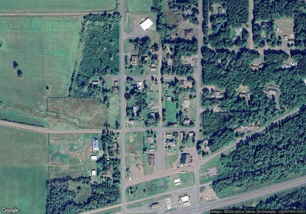
Map
Nearby Homes
- 5796 S Maple
- 5830 S Lake St
- Lot 2 Old Highway 2
- 1495 Bain Rd
- 1495 Other
- 000 Old Highway 2
- 713XX Oulu Rock Rd
- 672XX E Deep Lake Rd
- 6726X E Deep Lake Rd
- 68095 E Deep Lake Rd
- 66460 Mieritz Rd
- TBD County Road F
- TBD Lot #2 Tressel Trail
- TBD Wallin Rd
- 6824 S Fitch Ave
- TBD Lot #4 Tressel Trail
- TBD Parcel 9 Power Line Rd
- 625X Iron Lake Rd
- 6030 Lake Ahmeek Rd
- 39XX County Road O
- 5797 Maple St
- 5781 Maple St
- 5806 S County Road A
- 13969 E 2nd Ave
- 13956 E 3rd Ave
- 5788 Maple St
- 5784 Maple St
- 13985E 2nd St
- 5815 S Maple St
- 5773 Maple St
- 5787 S County Road H
- 5820 S County Road H
- 5809 S Lake St
- 13992 E 3rd Ave
- 5774 S County Road H
- 5765 Maple St
- 5819 S Lake St
- 5828 S Maple St
- 5791 County Road H
- 13932 E 3rd Ave
Your Personal Tour Guide
Ask me questions while you tour the home.