57937 Territorial Rd Lawrence, MI 49064
Estimated Value: $628,000 - $1,108,212
--
Bed
1
Bath
2,347
Sq Ft
$378/Sq Ft
Est. Value
About This Home
This home is located at 57937 Territorial Rd, Lawrence, MI 49064 and is currently estimated at $886,404, approximately $377 per square foot. 57937 Territorial Rd is a home located in Van Buren County with nearby schools including Lawrence Elementary School and Lawrence Junior/Senior High School.
Ownership History
Date
Name
Owned For
Owner Type
Purchase Details
Closed on
Nov 12, 2007
Sold by
Molenhouse Richard and Molenhouse Wilma
Bought by
Molenhouse Wilma M and Wilma M Molenhouse Trust
Current Estimated Value
Purchase Details
Closed on
Sep 28, 2007
Sold by
Fifth Third Bank
Bought by
Ozinga Grace
Purchase Details
Closed on
Sep 17, 2007
Sold by
Ozinga Grace
Bought by
Molenhouse Richard and Molenhouse Wilma
Create a Home Valuation Report for This Property
The Home Valuation Report is an in-depth analysis detailing your home's value as well as a comparison with similar homes in the area
Home Values in the Area
Average Home Value in this Area
Purchase History
| Date | Buyer | Sale Price | Title Company |
|---|---|---|---|
| Molenhouse Wilma M | -- | None Available | |
| Ozinga Grace | -- | None Available | |
| Molenhouse Richard | $250,000 | None Available |
Source: Public Records
Tax History Compared to Growth
Tax History
| Year | Tax Paid | Tax Assessment Tax Assessment Total Assessment is a certain percentage of the fair market value that is determined by local assessors to be the total taxable value of land and additions on the property. | Land | Improvement |
|---|---|---|---|---|
| 2025 | $17,263 | $552,600 | $0 | $0 |
| 2024 | $3,362 | $525,100 | $0 | $0 |
| 2023 | $3,202 | $414,400 | $0 | $0 |
| 2022 | $15,165 | $344,300 | $0 | $0 |
| 2021 | $14,657 | $327,700 | $111,100 | $216,600 |
| 2020 | $13,970 | $327,700 | $111,100 | $216,600 |
| 2019 | $13,591 | $351,700 | $351,700 | $0 |
| 2018 | $13,385 | $354,900 | $354,900 | $0 |
| 2017 | $13,150 | $337,600 | $0 | $0 |
| 2016 | $13,033 | $319,900 | $0 | $0 |
| 2015 | $7,565 | $319,900 | $0 | $0 |
| 2014 | $7,427 | $306,200 | $0 | $0 |
| 2013 | -- | $302,300 | $302,300 | $0 |
Source: Public Records
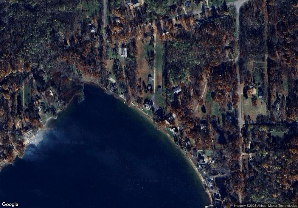
Map
Nearby Homes
- 58797 Territorial Rd
- 60846 N Lakeshore Dr
- 44850 Woodman Dr
- 44702 B 56th Ave
- 58356 Cr 671
- Parcel A Territorial Rd
- 50663 Red Arrow Hwy
- 43618 Carla Dr
- 66598 Territorial Rd
- 48855 South St
- 48900 South St
- 48901 South St
- 58008 N County Road 365
- 48893 Main St
- 0 S Paw St
- 000 S Paw St
- 62619 N County Road 365
- 57360 Cr 215
- 0 Palmer Dr
- 43834 Eagle Lake Dr
- 58021 Territorial Rd
- 57933 Territorial Rd
- 58222 46th St
- 58222 46th St
- 58246 46th St
- 58027 Territorial Rd
- 58029 Territorial Rd
- 58880 46th St
- 58025 Territorial Rd
- 58920 46th St
- 57945 Territorial Rd
- 58238 46th St
- 58960 46th St
- 57917 Territorial Rd
- 58568 46th St
- 58420 46th St
- 58642 46th St
- 58033 Territorial Rd
- 58033 Territorial Rd
- 57891 Territorial Rd