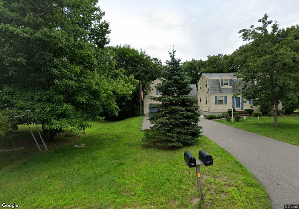
58 Andrew Ln Hanson, MA 02341
Estimated Value: $616,135 - $754,000
3
Beds
3
Baths
2,486
Sq Ft
$281/Sq Ft
Est. Value
About This Home
This home is located at 58 Andrew Ln, Hanson, MA 02341 and is currently estimated at $698,784, approximately $281 per square foot. 58 Andrew Ln is a home located in Plymouth County.
Ownership History
Date
Name
Owned For
Owner Type
Purchase Details
Closed on
Mar 27, 2023
Sold by
Reimer Louise A
Bought by
Reimer Michael
Current Estimated Value
Home Financials for this Owner
Home Financials are based on the most recent Mortgage that was taken out on this home.
Original Mortgage
$360,000
Outstanding Balance
$348,270
Interest Rate
6.12%
Mortgage Type
Purchase Money Mortgage
Estimated Equity
$350,514
Purchase Details
Closed on
Jan 18, 2017
Sold by
Reimer Roy W
Bought by
Reimer Louise A
Purchase Details
Closed on
Jul 17, 2008
Sold by
Reimer Roy W and Reimer Louise A
Bought by
Reimer Tr Roy W and Reimer Louise A
Create a Home Valuation Report for This Property
The Home Valuation Report is an in-depth analysis detailing your home's value as well as a comparison with similar homes in the area
Home Values in the Area
Average Home Value in this Area
Purchase History
| Date | Buyer | Sale Price | Title Company |
|---|---|---|---|
| Reimer Michael | $385,000 | None Available | |
| Reimer Louise A | -- | -- | |
| Reimer Tr Roy W | -- | -- |
Source: Public Records
Mortgage History
| Date | Status | Borrower | Loan Amount |
|---|---|---|---|
| Open | Reimer Michael | $360,000 | |
| Previous Owner | Reimer Tr Roy W | $85,000 | |
| Previous Owner | Reimer Tr Roy W | $50,000 | |
| Previous Owner | Reimer Tr Roy W | $86,000 |
Source: Public Records
Tax History
| Year | Tax Paid | Tax Assessment Tax Assessment Total Assessment is a certain percentage of the fair market value that is determined by local assessors to be the total taxable value of land and additions on the property. | Land | Improvement |
|---|---|---|---|---|
| 2025 | $7,742 | $578,600 | $181,200 | $397,400 |
| 2024 | $7,597 | $567,800 | $176,000 | $391,800 |
| 2023 | $7,331 | $517,000 | $176,000 | $341,000 |
| 2022 | $7,165 | $474,800 | $160,000 | $314,800 |
| 2021 | $6,445 | $426,800 | $153,800 | $273,000 |
| 2020 | $6,357 | $416,300 | $148,600 | $267,700 |
| 2019 | $6,050 | $389,600 | $145,700 | $243,900 |
| 2018 | $5,985 | $378,100 | $140,100 | $238,000 |
| 2017 | $5,810 | $363,600 | $133,500 | $230,100 |
| 2016 | $5,854 | $353,700 | $133,500 | $220,200 |
| 2015 | $5,545 | $348,300 | $133,500 | $214,800 |
Source: Public Records
Map
Nearby Homes
- 127 Crescent Place
- 134 Crescent St
- 161 Winter St Unit 11
- 269 Lakeside Rd
- Lot 6 Way
- 26 Stonebridge Dr
- 361 County Rd
- 361A County Rd
- 84 Liberty St
- 430 Brook Bend Rd
- Lot 5 Princeton Way
- 339 State St
- 139 Fairwood Dr
- 66 Wildwood Rd
- 80 Phillips St
- 108 Waterford Dr
- 72 Phillips St
- 724 Whitman St
- 1054 Main St
- 7 Andrew Dr
Your Personal Tour Guide
Ask me questions while you tour the home.