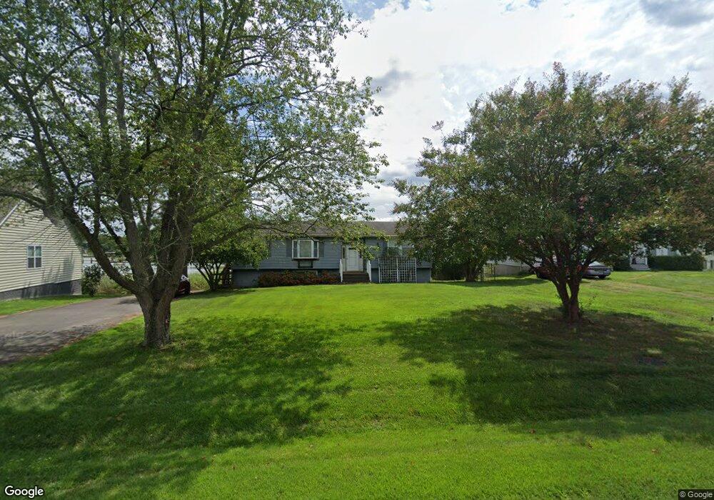
58 Avalon Dr Colonial Beach, VA 22443
Estimated Value: $270,000 - $495,449
Studio
1
Bath
1,544
Sq Ft
$220/Sq Ft
Est. Value
About This Home
This home is located at 58 Avalon Dr, Colonial Beach, VA 22443 and is currently estimated at $339,112, approximately $219 per square foot. 58 Avalon Dr is a home located in Westmoreland County with nearby schools including Montross Middle School, Westmoreland High School, and Monroe Bay Christian Academy.
Ownership History
Date
Name
Owned For
Owner Type
Purchase Details
Closed on
Oct 25, 2007
Sold by
Irving Julia K
Bought by
Crook Jeffrey W
Current Estimated Value
Home Financials for this Owner
Home Financials are based on the most recent Mortgage that was taken out on this home.
Original Mortgage
$274,000
Outstanding Balance
$171,074
Interest Rate
6.39%
Mortgage Type
New Conventional
Estimated Equity
$168,038
Create a Home Valuation Report for This Property
The Home Valuation Report is an in-depth analysis detailing your home's value as well as a comparison with similar homes in the area
Home Values in the Area
Average Home Value in this Area
Purchase History
| Date | Buyer | Sale Price | Title Company |
|---|---|---|---|
| Crook Jeffrey W | $274,000 | -- |
Source: Public Records
Mortgage History
| Date | Status | Borrower | Loan Amount |
|---|---|---|---|
| Open | Crook Jeffrey W | $274,000 |
Source: Public Records
Tax History
| Year | Tax Paid | Tax Assessment Tax Assessment Total Assessment is a certain percentage of the fair market value that is determined by local assessors to be the total taxable value of land and additions on the property. | Land | Improvement |
|---|---|---|---|---|
| 2025 | $1,480 | $217,600 | $47,500 | $170,100 |
| 2024 | $1,480 | $217,600 | $47,500 | $170,100 |
| 2023 | $1,349 | $217,600 | $47,500 | $170,100 |
| 2022 | $1,349 | $217,600 | $47,500 | $170,100 |
| 2021 | $1,370 | $180,300 | $47,500 | $132,800 |
| 2020 | $1,370 | $180,300 | $47,500 | $132,800 |
| 2019 | $1,172 | $180,300 | $47,500 | $132,800 |
| 2018 | $1,100 | $180,300 | $47,500 | $132,800 |
| 2017 | -- | $180,300 | $47,500 | $132,800 |
| 2016 | $1,082 | $180,300 | $47,500 | $132,800 |
| 2015 | -- | $202,300 | $47,500 | $154,800 |
| 2014 | -- | $0 | $0 | $0 |
| 2013 | -- | $202,300 | $47,500 | $154,800 |
Source: Public Records
Map
Nearby Homes
- 1223 Shore Dr
- 1252 Shore Dr
- 0 San Pedro Dr Unit VAWE2008614
- 506 Rolando Dr
- 402 Monroe Dr
- 351 Rolando Dr
- 1228 Holly Vista Dr
- 1216 Marshall Ave
- 121 Curley Ln
- Lot 16 Fort King Dr
- 1226 Bancroft Ave
- 198 Cedar Ln
- 305 Cedar Ln
- 408 Wirt St
- 50 Greenway Dr
- 1212 Lossing Ave
- 54 Shore Dr
- 0 Monroe Bay Cir Unit 674288
- 3 Shore Dr
- 641 Holly Vista Dr
Your Personal Tour Guide
Ask me questions while you tour the home.