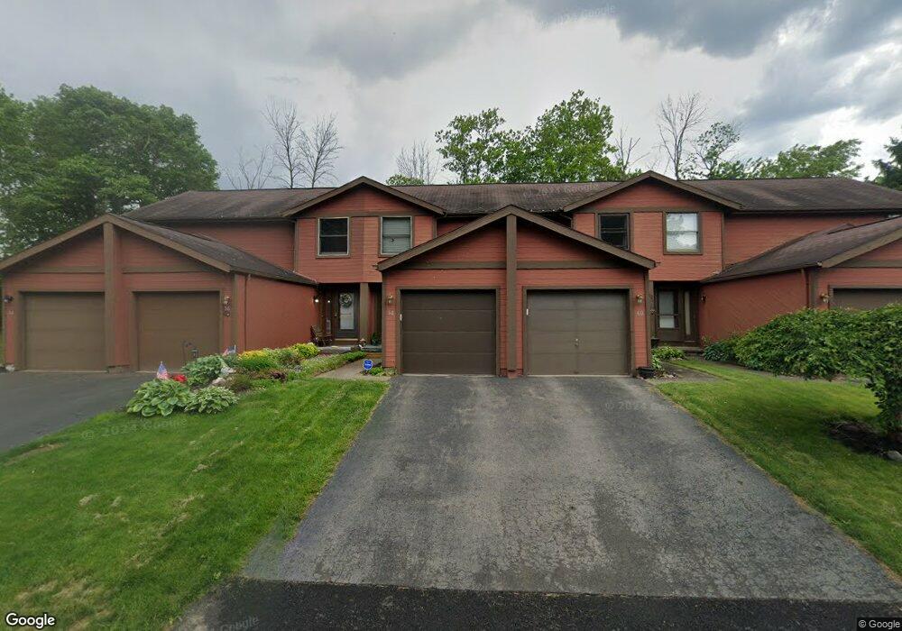
58 Broxbourne Dr Fairport, NY 14450
Estimated Value: $190,000 - $244,000
2
Beds
2
Baths
976
Sq Ft
$227/Sq Ft
Est. Value
About This Home
This home is located at 58 Broxbourne Dr, Fairport, NY 14450 and is currently estimated at $221,370, approximately $226 per square foot. 58 Broxbourne Dr is a home located in Monroe County with nearby schools including Dudley School, Northside School, and Johanna Perrin Middle School.
Ownership History
Date
Name
Owned For
Owner Type
Purchase Details
Closed on
Feb 24, 2010
Sold by
Clawson Danielle M
Bought by
Lockemann Grace S
Current Estimated Value
Home Financials for this Owner
Home Financials are based on the most recent Mortgage that was taken out on this home.
Original Mortgage
$65,000
Outstanding Balance
$43,124
Interest Rate
5%
Mortgage Type
New Conventional
Estimated Equity
$178,246
Purchase Details
Closed on
Sep 9, 2005
Sold by
Blake Jeanne
Bought by
Clawson Danielle
Home Financials for this Owner
Home Financials are based on the most recent Mortgage that was taken out on this home.
Original Mortgage
$75,920
Interest Rate
5.62%
Mortgage Type
Adjustable Rate Mortgage/ARM
Purchase Details
Closed on
Sep 30, 1997
Purchase Details
Closed on
Mar 13, 1997
Create a Home Valuation Report for This Property
The Home Valuation Report is an in-depth analysis detailing your home's value as well as a comparison with similar homes in the area
Home Values in the Area
Average Home Value in this Area
Purchase History
| Date | Buyer | Sale Price | Title Company |
|---|---|---|---|
| Lockemann Grace S | $109,900 | None Available | |
| Clawson Danielle | $94,900 | -- | |
| -- | $59,000 | -- | |
| -- | $94,042 | -- |
Source: Public Records
Mortgage History
| Date | Status | Borrower | Loan Amount |
|---|---|---|---|
| Open | Lockemann Grace S | $65,000 | |
| Previous Owner | Clawson Danielle | $75,920 | |
| Previous Owner | Clawson Danielle | $18,980 |
Source: Public Records
Tax History Compared to Growth
Tax History
| Year | Tax Paid | Tax Assessment Tax Assessment Total Assessment is a certain percentage of the fair market value that is determined by local assessors to be the total taxable value of land and additions on the property. | Land | Improvement |
|---|---|---|---|---|
| 2024 | $1,091 | $118,700 | $24,000 | $94,700 |
| 2023 | $2,647 | $118,700 | $24,000 | $94,700 |
| 2022 | $4,358 | $118,700 | $24,000 | $94,700 |
| 2021 | $4,429 | $118,700 | $24,000 | $94,700 |
| 2020 | $2,150 | $118,700 | $24,000 | $94,700 |
| 2019 | $995 | $118,700 | $20,800 | $97,900 |
| 2018 | $957 | $118,700 | $20,800 | $97,900 |
| 2017 | $44 | $109,900 | $20,800 | $89,100 |
| 2016 | $995 | $109,900 | $20,800 | $89,100 |
| 2015 | -- | $109,900 | $20,800 | $89,100 |
| 2014 | -- | $109,900 | $20,800 | $89,100 |
Source: Public Records
Map
Nearby Homes
- 4 Arbor Ct
- 43 Hollingham Rise
- 31 Belinda Crescent
- 2 Foxpointe Cir
- 1331 Whitney Rd E
- 76 - 78 Summit St
- 15 Whitney Farms Cir
- 70 High St
- 603 Watson Rd
- 158 N Main St
- 28 Winchester Dr
- 14 Peppermill Dr
- 105 Packetts Glen
- 3 Packetts Glen
- 12 Deland Park A
- 2 Hamilton Rd
- 6 Noahs Bluff
- 8 Noahs Bluff
- 4 Noahs Bluff
- 5 Noahs Bluff
- 56 Broxbourne Dr
- 60 Broxbourne Dr
- 62 Broxbourne Dr
- 54 Broxbourne Dr
- 64 Broxbourne Dr
- 52 Broxbourne Dr
- 66 Broxbourne Dr
- 50 Broxbourne Dr
- 68 Broxbourne Dr
- 27 Garrison Dr
- 48 Broxbourne Dr
- 70 Broxbourne Dr
- 59 Broxbourne Dr
- 46 Broxbourne Dr
- 72 Broxbourne Dr
- 25 Garrison Dr
- 55 Broxbourne Dr
- 44 Broxbourne Dr
- 23 Garrison Dr
- 53 Broxbourne Dr