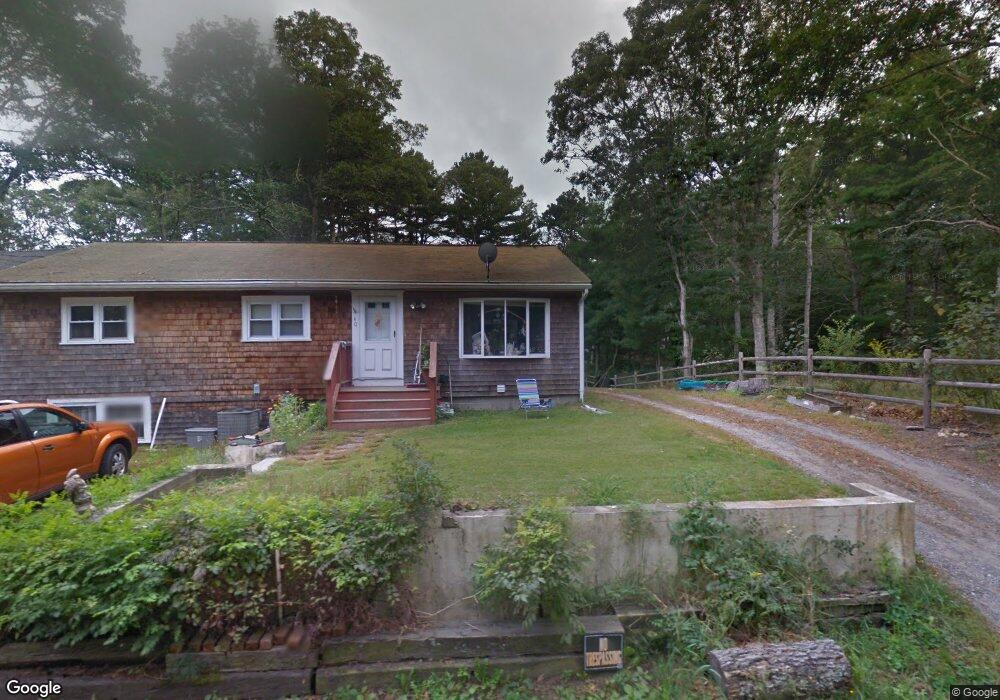
58 Deer Pond Rd East Falmouth, MA 2536
Hatchville NeighborhoodEstimated Value: $270,227 - $624,000
--
Bed
--
Bath
--
Sq Ft
1.91
Acres
About This Home
This home is located at 58 Deer Pond Rd, East Falmouth, MA 2536 and is currently estimated at $447,114. 58 Deer Pond Rd is a home located in Barnstable County with nearby schools including Mullen-Hall School, Morse Pond School, and Lawrence School.
Ownership History
Date
Name
Owned For
Owner Type
Purchase Details
Closed on
May 24, 2001
Sold by
Sun Junction Farms Rt and Larkin
Bought by
Dinco Deborah A
Current Estimated Value
Home Financials for this Owner
Home Financials are based on the most recent Mortgage that was taken out on this home.
Original Mortgage
$64,000
Outstanding Balance
$23,933
Interest Rate
7.05%
Mortgage Type
Purchase Money Mortgage
Estimated Equity
$423,181
Purchase Details
Closed on
Sep 28, 1989
Sold by
Larkin Paul
Bought by
Schultze Susan
Home Financials for this Owner
Home Financials are based on the most recent Mortgage that was taken out on this home.
Original Mortgage
$70,000
Interest Rate
9.92%
Mortgage Type
Purchase Money Mortgage
Create a Home Valuation Report for This Property
The Home Valuation Report is an in-depth analysis detailing your home's value as well as a comparison with similar homes in the area
Home Values in the Area
Average Home Value in this Area
Purchase History
| Date | Buyer | Sale Price | Title Company |
|---|---|---|---|
| Dinco Deborah A | $80,000 | -- | |
| Schultze Susan | $95,000 | -- | |
| Schultze Susan | $95,000 | -- |
Source: Public Records
Mortgage History
| Date | Status | Borrower | Loan Amount |
|---|---|---|---|
| Open | Schultze Susan | $64,000 | |
| Previous Owner | Schultze Susan | $70,000 |
Source: Public Records
Tax History Compared to Growth
Tax History
| Year | Tax Paid | Tax Assessment Tax Assessment Total Assessment is a certain percentage of the fair market value that is determined by local assessors to be the total taxable value of land and additions on the property. | Land | Improvement |
|---|---|---|---|---|
| 2025 | $1,666 | $283,900 | $283,900 | $0 |
| 2024 | $1,582 | $251,900 | $251,900 | $0 |
| 2023 | $1,369 | $197,900 | $197,900 | $0 |
| 2022 | $1,404 | $174,400 | $174,400 | $0 |
| 2021 | $1,359 | $159,900 | $159,900 | $0 |
| 2020 | $1,249 | $145,400 | $145,400 | $0 |
| 2019 | $1,245 | $145,400 | $145,400 | $0 |
| 2018 | $1,250 | $145,400 | $145,400 | $0 |
| 2017 | $1,240 | $145,400 | $145,400 | $0 |
| 2016 | $1,217 | $145,400 | $145,400 | $0 |
| 2015 | $1,191 | $145,400 | $145,400 | $0 |
| 2014 | $1,253 | $153,800 | $153,800 | $0 |
Source: Public Records
Map
Nearby Homes
- 12 Rock Hollow Dr
- 59 Whitecaps Dr
- 68 Deepwood Dr
- 12 Beach Plum Path
- 17 Pinewood Dr
- 47 Shallow Pond Ln
- 34 Mckenna Ridge Rd
- 11 Shallow Pond Ln
- 4 Josiah Path
- 7 Josiah Path
- 18 Josiah Path
- 20 Josiah Path
- 21 Josiah Path
- 30 Josiah Path
- 61 Mckenna Ridge Dr
- 590 Sandwich Rd
- 25 Harris Hill Rd
- 273 Sandwich Rd
- 70 Meredith Dr
- 64 Deer Pond Rd
- 42 Rock Hollow Dr
- 54 Deer Pond Rd
- 46 Rock Hollow Dr
- 50 Deer Pond Rd
- 72 Deer Pond Rd
- 34 Rock Hollow Dr
- 60 Sand Point Shores Dr
- 44 Sand Point Shores Dr
- 40 Deer Pond Rd
- 44 Sand Pointe Shores Dr
- 44 Sand Point Shores Dr
- 52 Sand Point Shores Dr
- 52 Sand Point Shores Dr
- 80 Deer Pond Rd
- 44 Sand Point Shores Dr
- 44 Deer Pond Rd
- 40 Sand Point Shores Dr
- 67 Sand Point Shores Dr
- 67 Sand Point Shores Dr