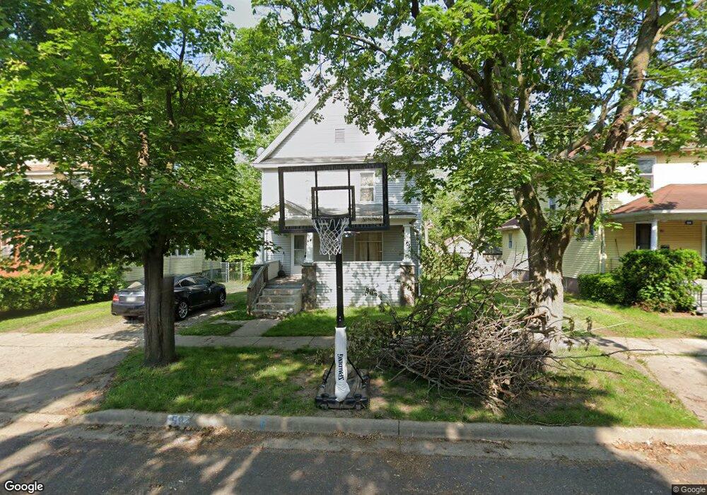
58 Douglas St Battle Creek, MI 49014
Post Franklin NeighborhoodEstimated Value: $80,000 - $121,000
5
Beds
2
Baths
1,692
Sq Ft
$61/Sq Ft
Est. Value
About This Home
This home is located at 58 Douglas St, Battle Creek, MI 49014 and is currently estimated at $103,496, approximately $61 per square foot. 58 Douglas St is a home located in Calhoun County with nearby schools including Post-Franklin Elementary School, Springfield Middle School, and Battle Creek Central High School.
Ownership History
Date
Name
Owned For
Owner Type
Purchase Details
Closed on
Aug 23, 2010
Sold by
Dyer Jeff and Dyer Patricia
Bought by
58 Douglas Street Land Trust
Current Estimated Value
Purchase Details
Closed on
Dec 4, 2008
Sold by
Forrest Douglas R and Forrest Lesa C
Bought by
Wells Fargo Bank Na
Purchase Details
Closed on
Jan 24, 2005
Sold by
Forrest Lesa C and Smith Robinson Lesa C
Bought by
Forrest Douglas R and Forrest Lesa C
Home Financials for this Owner
Home Financials are based on the most recent Mortgage that was taken out on this home.
Original Mortgage
$73,950
Interest Rate
8.85%
Mortgage Type
New Conventional
Create a Home Valuation Report for This Property
The Home Valuation Report is an in-depth analysis detailing your home's value as well as a comparison with similar homes in the area
Home Values in the Area
Average Home Value in this Area
Purchase History
| Date | Buyer | Sale Price | Title Company |
|---|---|---|---|
| 58 Douglas Street Land Trust | $7,000 | None Available | |
| Wells Fargo Bank Na | $77,874 | None Available | |
| Forrest Douglas R | -- | Nta |
Source: Public Records
Mortgage History
| Date | Status | Borrower | Loan Amount |
|---|---|---|---|
| Previous Owner | Forrest Douglas R | $73,950 |
Source: Public Records
Tax History Compared to Growth
Tax History
| Year | Tax Paid | Tax Assessment Tax Assessment Total Assessment is a certain percentage of the fair market value that is determined by local assessors to be the total taxable value of land and additions on the property. | Land | Improvement |
|---|---|---|---|---|
| 2025 | -- | $38,400 | $0 | $0 |
| 2024 | $1,040 | $32,110 | $0 | $0 |
| 2023 | $1,324 | $29,456 | $0 | $0 |
| 2022 | $940 | $22,846 | $0 | $0 |
| 2021 | $1,258 | $21,467 | $0 | $0 |
| 2020 | $1,185 | $20,076 | $0 | $0 |
| 2019 | $1,181 | $20,353 | $0 | $0 |
| 2018 | $1,181 | $18,321 | $460 | $17,861 |
| 2017 | $1,156 | $19,463 | $0 | $0 |
| 2016 | $1,153 | $22,254 | $0 | $0 |
| 2015 | $1,130 | $23,200 | $2,293 | $20,907 |
| 2014 | $1,130 | $17,591 | $2,293 | $15,298 |
Source: Public Records
Map
Nearby Homes
- 50 Douglas St
- 418 Main St
- 130 Cliff St
- 100 Illinois St
- 47 Alden Ave W
- 180 Grenville St
- 174 Lathrop Ave
- 155 Post Ave
- 118 Nelson St
- 232 Cliff St
- 390 E Michigan Ave
- 225 Illinois St
- 501 Michigan Ave E
- 507 Michigan Ave E
- 222 Lathrop Ave
- 116 Inn Rd
- 131 Academy St
- 519 S Shore Dr
- 503 S Shore Dr
- 0 Cherokee St