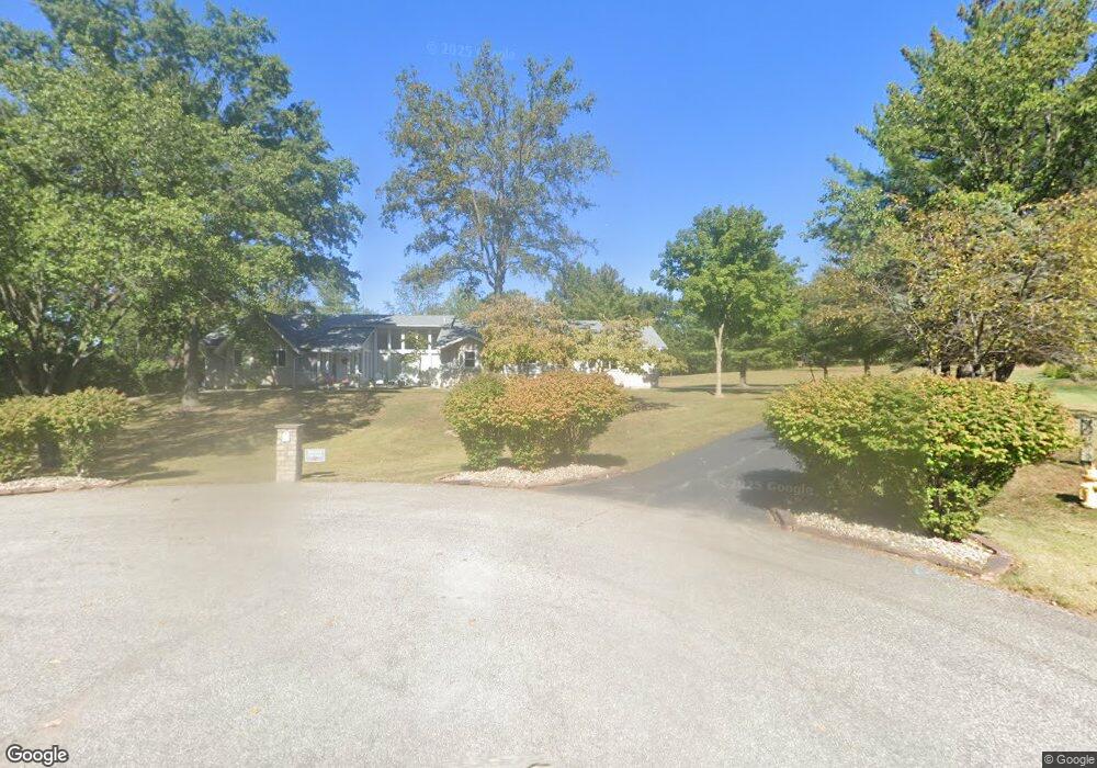
58 Fox Hollow Dr Saint Charles, MO 63304
Estimated Value: $633,000 - $769,000
4
Beds
4
Baths
3,013
Sq Ft
$233/Sq Ft
Est. Value
About This Home
This home is located at 58 Fox Hollow Dr, Saint Charles, MO 63304 and is currently estimated at $702,976, approximately $233 per square foot. 58 Fox Hollow Dr is a home located in St. Charles County with nearby schools including Pheasant Point Elementary School, Fort Zumwalt South Middle School, and Fort Zumwalt South High School.
Ownership History
Date
Name
Owned For
Owner Type
Purchase Details
Closed on
Jun 19, 2010
Sold by
Rosenkoetter Kenneth A and Rosenkoetter Vickie J
Bought by
Rosenkoetter Kenneth K and Rosenkoetter Megan J
Current Estimated Value
Purchase Details
Closed on
Jan 27, 2010
Sold by
Moore Oliver K and Rosenkoetter Vickie Jane
Bought by
Moore Oliver K and Oliver Kiel Moore Revocable Tr
Purchase Details
Closed on
Oct 29, 2003
Sold by
Moore Margaret S
Bought by
Moore Oliver K
Purchase Details
Closed on
Jan 9, 2001
Sold by
Moore Oliver K and Moore Margaret S
Bought by
Moore Margaret S and The Margaret S Moore Revocable
Create a Home Valuation Report for This Property
The Home Valuation Report is an in-depth analysis detailing your home's value as well as a comparison with similar homes in the area
Home Values in the Area
Average Home Value in this Area
Purchase History
| Date | Buyer | Sale Price | Title Company |
|---|---|---|---|
| Rosenkoetter Kenneth K | -- | None Available | |
| Rosenkoetter Kenneth A | -- | None Available | |
| Moore Oliver K | -- | None Available | |
| Moore Oliver K | -- | -- | |
| Moore Margaret S | -- | -- |
Source: Public Records
Tax History Compared to Growth
Tax History
| Year | Tax Paid | Tax Assessment Tax Assessment Total Assessment is a certain percentage of the fair market value that is determined by local assessors to be the total taxable value of land and additions on the property. | Land | Improvement |
|---|---|---|---|---|
| 2025 | $6,824 | $118,273 | -- | -- |
| 2023 | $6,824 | $107,550 | $0 | $0 |
| 2022 | $6,566 | $96,467 | $0 | $0 |
| 2021 | $6,531 | $95,834 | $0 | $0 |
| 2020 | $6,360 | $89,541 | $0 | $0 |
| 2019 | $6,339 | $89,541 | $0 | $0 |
| 2018 | $6,242 | $84,404 | $0 | $0 |
| 2017 | $6,194 | $84,404 | $0 | $0 |
| 2016 | $5,644 | $73,709 | $0 | $0 |
| 2015 | $5,237 | $73,709 | $0 | $0 |
| 2014 | $4,459 | $61,398 | $0 | $0 |
Source: Public Records
Map
Nearby Homes
- 661 Clifton Hill Dr
- 201 Dardenne Farms Dr
- 6355 Sprucefield Dr
- 136 Jacobs Way
- 421 Jacobs Place Dr
- 1228 Cold Spring Dr
- 1218 Cold Spring Dr
- 60 Loganberry Ct
- 213 Black Oak Dr
- 212 Jacobs Way
- 120 Glenallen Dr
- 1 Pauley Cir
- 1313 Commons Cir
- 178 Christina Marie Dr
- 161 Christina Marie Dr
- 1700 Birdie Hills Rd
- 1017 Windsor Crest Ct
- 511 Roaring Fork Ct
- 255 Coachman Way
- 2726 Red Cedar Parc Dr S
- 6 Stansbury Way
- 4 Stansbury Way
- 7 Stansbury Way
- 54 Fox Hollow Dr
- 22 Dalton Valley Dr
- 20 Dalton Valley Dr
- 5 Stansbury Way
- 20 South Trail
- 18 Dalton Valley Dr
- 24 Dalton Valley Dr
- 0 South Trail
- 94 South Trail
- 16 Dalton Valley Dr
- 23 Dalton Valley Dr
- 23 South Trail
- 225 Dardenne Farms Dr
- 19 Dalton Valley Dr
- 50 Fox Hollow Dr
- 229 Dardenne Farms Dr
- 25 Dalton Valley Dr