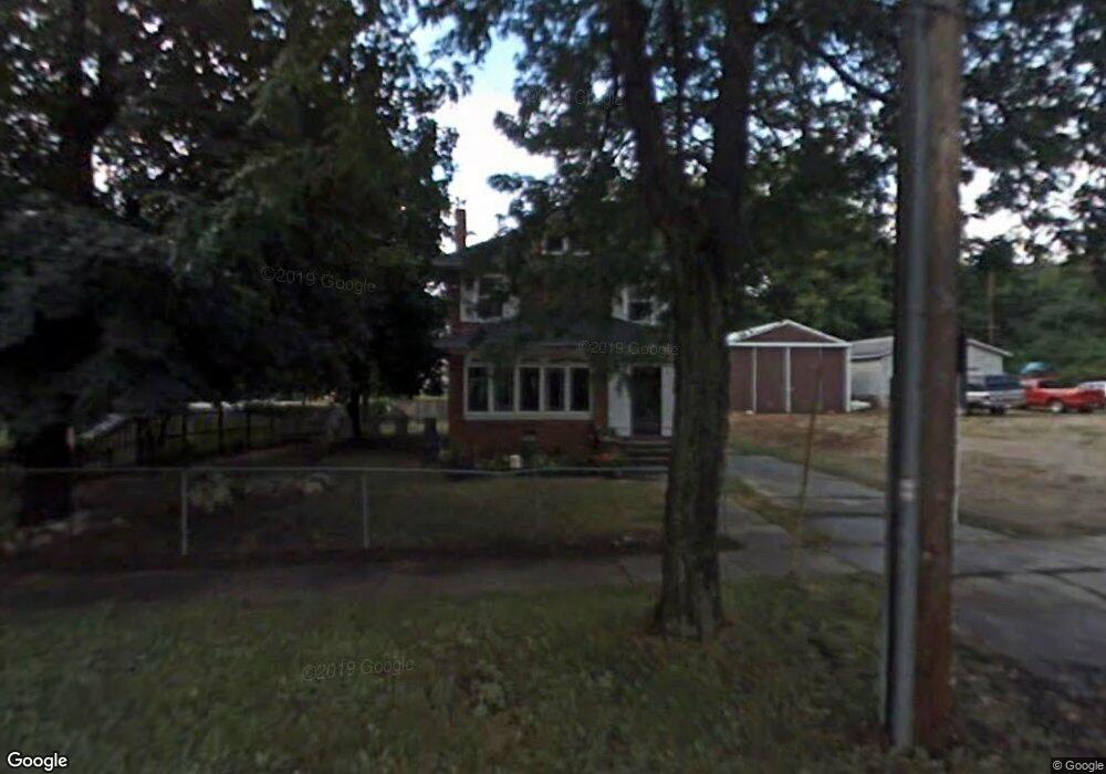
58 Goguac St E Battle Creek, MI 49015
Central Battle Creek NeighborhoodEstimated Value: $104,485 - $133,000
3
Beds
2
Baths
1,824
Sq Ft
$63/Sq Ft
Est. Value
About This Home
This home is located at 58 Goguac St E, Battle Creek, MI 49015 and is currently estimated at $115,621, approximately $63 per square foot. 58 Goguac St E is a home located in Calhoun County with nearby schools including Ann J. Kellogg School, Springfield Middle School, and Battle Creek Central High School.
Ownership History
Date
Name
Owned For
Owner Type
Purchase Details
Closed on
Jun 11, 2010
Sold by
Gorecki Carl and Gorecki Geraldine
Bought by
Robles Salvador and Robles Maria De Los Angeles
Current Estimated Value
Purchase Details
Closed on
Mar 24, 2006
Sold by
Mortgage Electronic Registration Systems
Bought by
Jpmorgan Chase Bank
Purchase Details
Closed on
Feb 17, 2006
Sold by
Lewis Bryan and Lewis Jennifer
Bought by
Mortgage Electronic Registration Systems
Purchase Details
Closed on
Apr 28, 2000
Sold by
Lewis Jerry and Lewis Nancy
Bought by
Lewis Bryan
Purchase Details
Closed on
Jul 30, 1999
Bought by
Lewis
Purchase Details
Closed on
Mar 21, 1999
Sold by
Hart Jack E and Hart Bobbie J
Bought by
Hart Phil W
Purchase Details
Closed on
Jun 23, 1995
Sold by
Hart Jack and Hart Bobbie J
Bought by
Hart Phil W
Create a Home Valuation Report for This Property
The Home Valuation Report is an in-depth analysis detailing your home's value as well as a comparison with similar homes in the area
Home Values in the Area
Average Home Value in this Area
Purchase History
| Date | Buyer | Sale Price | Title Company |
|---|---|---|---|
| Robles Salvador | $17,000 | None Available | |
| Jpmorgan Chase Bank | -- | E Title Agency | |
| Mortgage Electronic Registration Systems | $45,337 | None Available | |
| Lewis Bryan | -- | -- | |
| Lewis | $49,900 | -- | |
| Hart Phil W | -- | -- | |
| Hart Phil W | $22,000 | -- |
Source: Public Records
Tax History Compared to Growth
Tax History
| Year | Tax Paid | Tax Assessment Tax Assessment Total Assessment is a certain percentage of the fair market value that is determined by local assessors to be the total taxable value of land and additions on the property. | Land | Improvement |
|---|---|---|---|---|
| 2025 | -- | $44,000 | $0 | $0 |
| 2024 | $827 | $37,001 | $0 | $0 |
| 2023 | $945 | $35,349 | $0 | $0 |
| 2022 | $747 | $26,969 | $0 | $0 |
| 2021 | $891 | $24,767 | $0 | $0 |
| 2020 | $882 | $26,023 | $0 | $0 |
| 2019 | $966 | $18,467 | $0 | $0 |
| 2018 | $966 | $20,517 | $691 | $19,826 |
| 2017 | $1,123 | $21,836 | $0 | $0 |
| 2016 | $1,151 | $24,923 | $0 | $0 |
| 2015 | $1,175 | $25,499 | $3,603 | $21,896 |
| 2014 | $1,175 | $25,499 | $3,603 | $21,896 |
Source: Public Records
Map
Nearby Homes
- 66 Cleveland St
- 17 Tennyson Ave
- 96 Battle Creek Ave
- 57 Boulder St
- 21 Spring St
- 171 Goguac St W
- 71 Burnham St W
- 35 Eldred St
- 210 Battle Creek Ave
- 212 Goguac St W
- 296 Meachem Ave
- 51 Pauline Ave
- 30 Harris St
- 180 Upton Ave
- 178 Webber St
- 39 Harris St
- 1 Grand Blvd
- 41 Randolph St
- 0 Riverside Pkwy Unit 25036355
- 207 Upton Ave Unit V/L