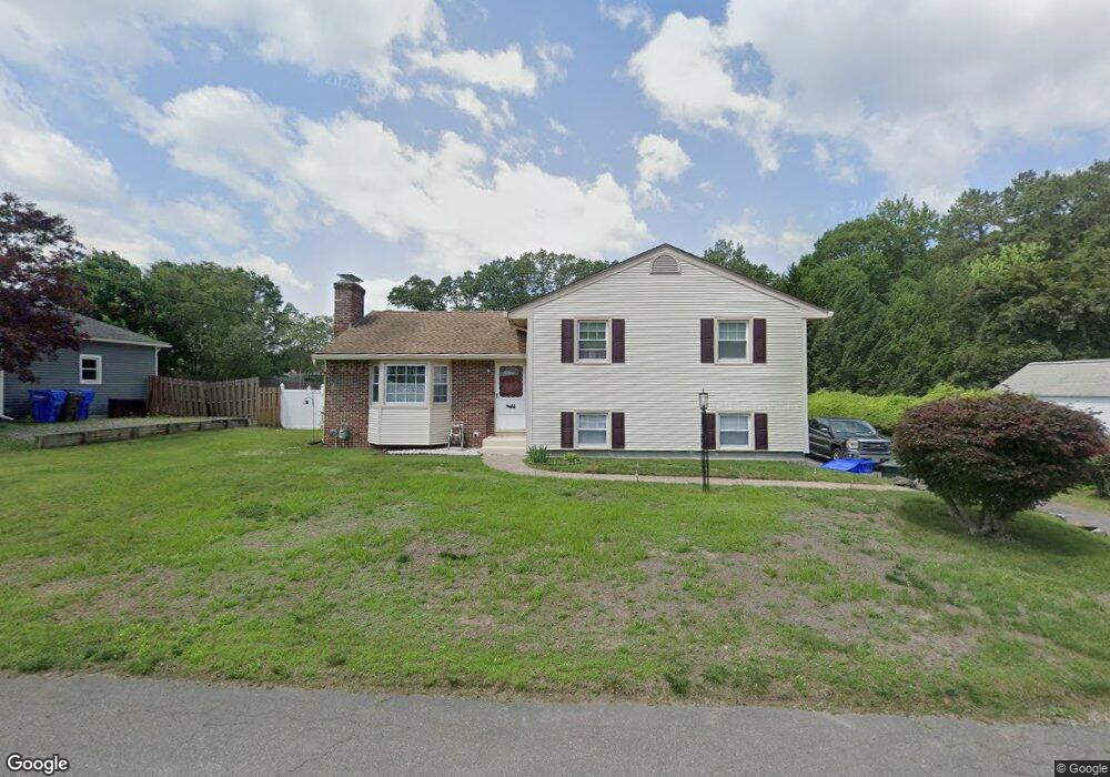
58 Greenlawn St Springfield, MA 01119
Sixteen Acres NeighborhoodEstimated Value: $352,000 - $436,000
3
Beds
2
Baths
1,591
Sq Ft
$240/Sq Ft
Est. Value
About This Home
This home is located at 58 Greenlawn St, Springfield, MA 01119 and is currently estimated at $381,320, approximately $239 per square foot. 58 Greenlawn St is a home located in Hampden County with nearby schools including Frank H. Freedman School, John J Duggan Middle, and Springfield High School of Science and Technology.
Ownership History
Date
Name
Owned For
Owner Type
Purchase Details
Closed on
May 27, 1994
Sold by
Canty Laura G and Canty James
Bought by
Moses Cheryl D and Foster Leo
Current Estimated Value
Home Financials for this Owner
Home Financials are based on the most recent Mortgage that was taken out on this home.
Original Mortgage
$89,600
Interest Rate
8.22%
Mortgage Type
Purchase Money Mortgage
Create a Home Valuation Report for This Property
The Home Valuation Report is an in-depth analysis detailing your home's value as well as a comparison with similar homes in the area
Home Values in the Area
Average Home Value in this Area
Purchase History
| Date | Buyer | Sale Price | Title Company |
|---|---|---|---|
| Moses Cheryl D | $112,000 | -- |
Source: Public Records
Mortgage History
| Date | Status | Borrower | Loan Amount |
|---|---|---|---|
| Open | Moses Cheryl D | $75,000 | |
| Closed | Moses Cheryl D | $89,600 | |
| Previous Owner | Moses Cheryl D | $75,000 |
Source: Public Records
Tax History Compared to Growth
Tax History
| Year | Tax Paid | Tax Assessment Tax Assessment Total Assessment is a certain percentage of the fair market value that is determined by local assessors to be the total taxable value of land and additions on the property. | Land | Improvement |
|---|---|---|---|---|
| 2025 | $3,915 | $249,700 | $52,400 | $197,300 |
| 2024 | $3,817 | $237,700 | $52,400 | $185,300 |
| 2023 | $3,185 | $186,800 | $49,900 | $136,900 |
| 2022 | $3,134 | $166,500 | $49,900 | $116,600 |
| 2021 | $3,128 | $165,500 | $45,300 | $120,200 |
| 2020 | $3,133 | $160,400 | $45,300 | $115,100 |
| 2019 | $2,962 | $150,500 | $45,300 | $105,200 |
| 2018 | $2,946 | $149,700 | $45,300 | $104,400 |
| 2017 | $2,809 | $142,900 | $42,100 | $100,800 |
| 2016 | $2,611 | $132,800 | $42,100 | $90,700 |
| 2015 | $2,569 | $130,600 | $42,100 | $88,500 |
Source: Public Records
Map
Nearby Homes
- 767 S Branch Pkwy
- 74 Valley Rd
- 89 Cherokee Dr
- 42 Redstone Dr
- 108 Birchland Ave
- 128 Sherwood Rd
- 28 Hazen St
- 99 W Crystal Brook Dr
- 28 Collingwood Rd
- 157 Wildwood Ave
- 20 Lively Ln
- 43 Birchland Ave
- 74 Leatherleaf Dr
- 27 Regal St
- 101 Regal St
- 21 Lemnos Ln
- 35 Lemnos Ln
- 27 Wachusett St
- 1606 Wilbraham Rd
- 31 Acrebrook Rd
- 66 Greenlawn St
- 48 Greenlawn St
- 325 Evergreen Rd
- 335 Evergreen Rd
- 315 Evergreen Rd
- 55 Greenlawn St
- 40 Greenlawn St
- 65 Greenlawn St
- 47 Greenlawn St
- 343 Evergreen Rd
- 39 Greenlawn St
- 30 Greenlawn St
- 56 Glenvale St
- 353 Evergreen Rd
- 66 Glenvale St
- 48 Glenvale St
- 29 Greenlawn St
- 38 Glenvale St
- 361 Evergreen Rd
- 30 Glenvale St