58 Hargrove Rd Greenbrier, AR 72058
Estimated Value: $423,000 - $461,000
--
Bed
3
Baths
2,416
Sq Ft
$183/Sq Ft
Est. Value
About This Home
This home is located at 58 Hargrove Rd, Greenbrier, AR 72058 and is currently estimated at $441,682, approximately $182 per square foot. 58 Hargrove Rd is a home located in Faulkner County with nearby schools including Greenbrier Wooster Elementary School, Greenbrier Junior High School, and Greenbrier High School.
Ownership History
Date
Name
Owned For
Owner Type
Purchase Details
Closed on
Dec 8, 2020
Sold by
Hutchinson Construction & Son Inc
Bought by
Curtis Randy A and Curtis Stacy R
Current Estimated Value
Home Financials for this Owner
Home Financials are based on the most recent Mortgage that was taken out on this home.
Original Mortgage
$266,400
Outstanding Balance
$237,058
Interest Rate
2.8%
Mortgage Type
New Conventional
Estimated Equity
$204,624
Purchase Details
Closed on
Feb 20, 2020
Sold by
Reynolds Jimmy and Reynolds Verna
Bought by
Hutchinson Construction & Son Inc
Home Financials for this Owner
Home Financials are based on the most recent Mortgage that was taken out on this home.
Original Mortgage
$226,855
Interest Rate
3.6%
Mortgage Type
Construction
Create a Home Valuation Report for This Property
The Home Valuation Report is an in-depth analysis detailing your home's value as well as a comparison with similar homes in the area
Home Values in the Area
Average Home Value in this Area
Purchase History
| Date | Buyer | Sale Price | Title Company |
|---|---|---|---|
| Curtis Randy A | $333,000 | Waco Title | |
| Hutchinson Construction & Son Inc | $35,000 | Faulkner County Title Co |
Source: Public Records
Mortgage History
| Date | Status | Borrower | Loan Amount |
|---|---|---|---|
| Open | Curtis Randy A | $266,400 | |
| Previous Owner | Hutchinson Construction & Son Inc | $226,855 |
Source: Public Records
Tax History Compared to Growth
Tax History
| Year | Tax Paid | Tax Assessment Tax Assessment Total Assessment is a certain percentage of the fair market value that is determined by local assessors to be the total taxable value of land and additions on the property. | Land | Improvement |
|---|---|---|---|---|
| 2025 | $3,447 | $84,870 | $9,000 | $75,870 |
| 2024 | $3,318 | $84,870 | $9,000 | $75,870 |
| 2023 | $3,160 | $64,220 | $7,000 | $57,220 |
| 2022 | $2,825 | $64,220 | $7,000 | $57,220 |
| 2021 | $2,825 | $64,220 | $7,000 | $57,220 |
| 2020 | $172 | $3,500 | $3,500 | $0 |
Source: Public Records
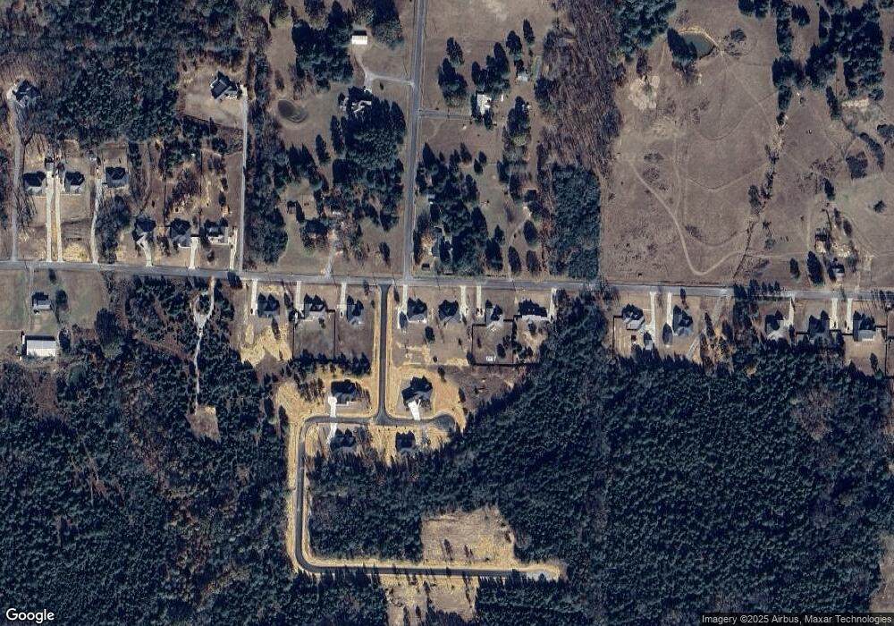
Map
Nearby Homes
- 26 Ules Watson Dr
- 22 Ules Watson Dr
- 49 Ules Watson Dr
- 38 Ules Watson Dr
- 5 Hargrove Rd
- 12 Bullet Davis Dr
- 422 Highway 225 W
- 18 Sky Dr
- 342 Burkett Flat Rd
- 20 Fox Run Ln
- 35 Watson Dr
- 244 Castleberry Rd
- 285 Castleberry Rd
- Tract 6 Castleberry Rd
- 268 Castleberry Rd
- 239 Castleberry Rd
- Tract 1 Castleberry Rd
- 280 Castleberry Rd
- Tract 3 Castleberry Rd
- Tract 8 Castleberry Rd