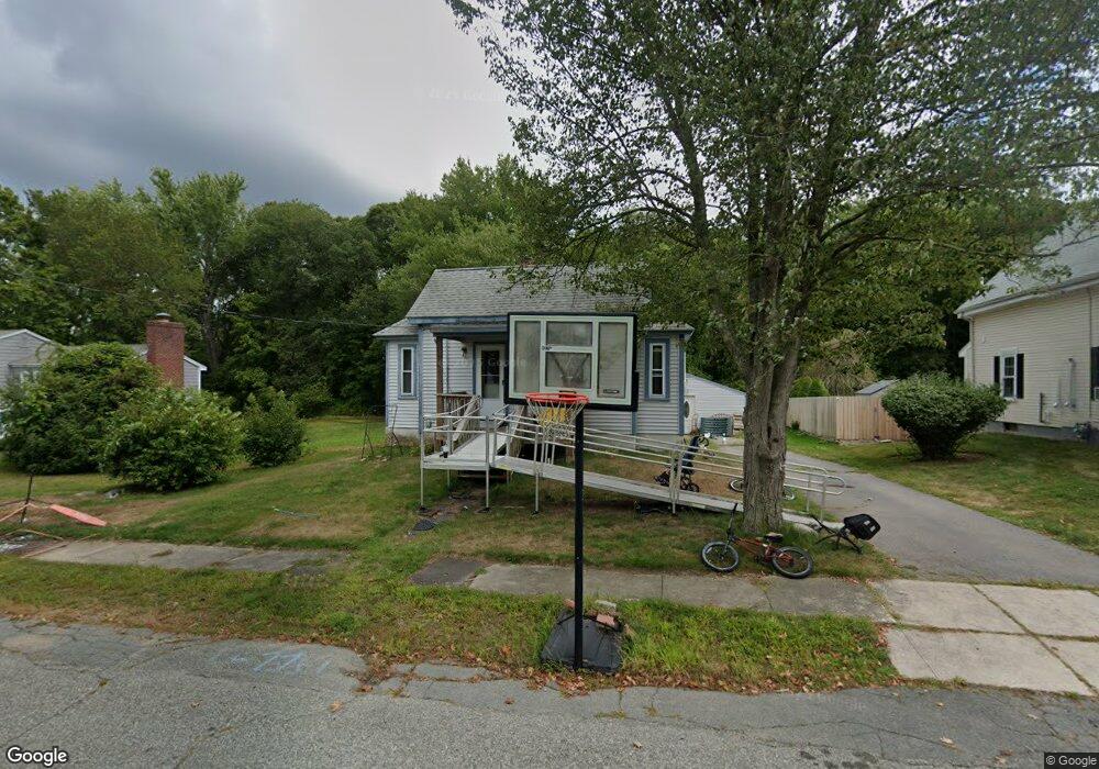
58 Kendrick St Whitman, MA 02382
Estimated Value: $419,362 - $507,000
1
Bed
1
Bath
923
Sq Ft
$501/Sq Ft
Est. Value
About This Home
This home is located at 58 Kendrick St, Whitman, MA 02382 and is currently estimated at $462,341, approximately $500 per square foot. 58 Kendrick St is a home located in Plymouth County with nearby schools including St Bridget School.
Ownership History
Date
Name
Owned For
Owner Type
Purchase Details
Closed on
Jan 25, 2012
Sold by
Meehan Melvin R and Meehan Susanna G
Bought by
Meehan Melvin R and Meehan Susanna G
Current Estimated Value
Purchase Details
Closed on
Mar 19, 1999
Sold by
Marble Michael J and Marble Kathleen M
Bought by
Meehan Melvin R
Purchase Details
Closed on
Sep 30, 1994
Sold by
Christopoulos Debra A and Spear Kevin L
Bought by
Marble Michael J and Marble Kathleen M
Create a Home Valuation Report for This Property
The Home Valuation Report is an in-depth analysis detailing your home's value as well as a comparison with similar homes in the area
Home Values in the Area
Average Home Value in this Area
Purchase History
| Date | Buyer | Sale Price | Title Company |
|---|---|---|---|
| Meehan Melvin R | -- | -- | |
| Meehan Melvin R | $121,000 | -- | |
| Marble Michael J | $88,500 | -- |
Source: Public Records
Mortgage History
| Date | Status | Borrower | Loan Amount |
|---|---|---|---|
| Previous Owner | Marble Michael J | $147,028 | |
| Previous Owner | Marble Michael J | $131,442 |
Source: Public Records
Tax History
| Year | Tax Paid | Tax Assessment Tax Assessment Total Assessment is a certain percentage of the fair market value that is determined by local assessors to be the total taxable value of land and additions on the property. | Land | Improvement |
|---|---|---|---|---|
| 2025 | $4,970 | $378,800 | $203,300 | $175,500 |
| 2024 | $4,686 | $367,800 | $199,400 | $168,400 |
| 2023 | $4,281 | $315,500 | $172,900 | $142,600 |
| 2022 | $4,091 | $281,000 | $157,200 | $123,800 |
| 2021 | $4,086 | $263,600 | $144,400 | $119,200 |
| 2020 | $3,864 | $243,800 | $137,500 | $106,300 |
| 2019 | $3,750 | $243,800 | $137,500 | $106,300 |
| 2018 | $3,645 | $227,700 | $129,700 | $98,000 |
| 2017 | $3,434 | $227,700 | $129,700 | $98,000 |
| 2016 | $3,322 | $213,100 | $122,800 | $90,300 |
| 2015 | $3,097 | $198,400 | $108,100 | $90,300 |
Source: Public Records
Map
Nearby Homes
- 214 Winter St
- 10 Proud Foot Way
- 170 Pleasant St
- 74 Benson St
- 289 Commercial St
- 291 Raynor Ave
- 61 Suffolk St
- 608 Plymouth St
- 10 Birch Bottom Cir
- 147 South Ave
- 110 South Ave
- 5 Alpine St
- 48 Day St
- 22 Howland Trail Unit 34
- 7 Hayford Trail Unit 12
- 5 Hayford Trail Unit 11
- 17 Hayford Trail Unit 12
- 8 Laurel St
- 22 Old Coach Rd
- 95 Temple St
Your Personal Tour Guide
Ask me questions while you tour the home.