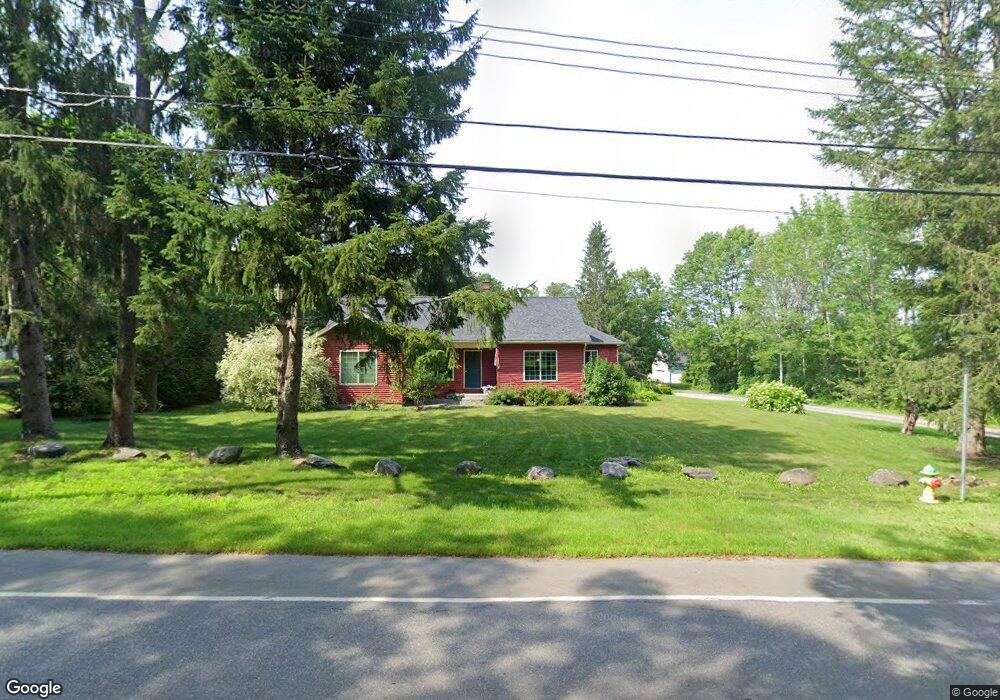
58 Kennebec Rd Hampden, ME 04444
Estimated Value: $365,000 - $414,021
2
Beds
2
Baths
1,606
Sq Ft
$247/Sq Ft
Est. Value
About This Home
This home is located at 58 Kennebec Rd, Hampden, ME 04444 and is currently estimated at $396,755, approximately $247 per square foot. 58 Kennebec Rd is a home.
Ownership History
Date
Name
Owned For
Owner Type
Purchase Details
Closed on
May 11, 2023
Sold by
Totman Patricia J
Bought by
Jenkins Thomas D and Jenkins Jo-Linda J
Current Estimated Value
Home Financials for this Owner
Home Financials are based on the most recent Mortgage that was taken out on this home.
Original Mortgage
$76,540
Outstanding Balance
$74,384
Interest Rate
6.32%
Mortgage Type
Purchase Money Mortgage
Estimated Equity
$322,371
Create a Home Valuation Report for This Property
The Home Valuation Report is an in-depth analysis detailing your home's value as well as a comparison with similar homes in the area
Home Values in the Area
Average Home Value in this Area
Purchase History
| Date | Buyer | Sale Price | Title Company |
|---|---|---|---|
| Jenkins Thomas D | $336,540 | None Available |
Source: Public Records
Mortgage History
| Date | Status | Borrower | Loan Amount |
|---|---|---|---|
| Open | Jenkins Thomas D | $76,540 |
Source: Public Records
Tax History Compared to Growth
Tax History
| Year | Tax Paid | Tax Assessment Tax Assessment Total Assessment is a certain percentage of the fair market value that is determined by local assessors to be the total taxable value of land and additions on the property. | Land | Improvement |
|---|---|---|---|---|
| 2024 | $4,925 | $314,700 | $62,100 | $252,600 |
| 2023 | $4,961 | $257,700 | $50,900 | $206,800 |
| 2022 | $4,767 | $230,300 | $45,800 | $184,500 |
| 2021 | $4,767 | $230,300 | $45,800 | $184,500 |
| 2020 | $4,698 | $230,300 | $45,800 | $184,500 |
| 2019 | $4,572 | $224,100 | $44,500 | $179,600 |
| 2018 | $4,392 | $224,100 | $44,500 | $179,600 |
| 2017 | $4,123 | $224,100 | $44,500 | $179,600 |
| 2016 | $4,077 | $224,000 | $44,000 | $180,000 |
| 2015 | $3,920 | $224,000 | $44,000 | $180,000 |
| 2014 | $3,922 | $224,100 | $44,500 | $179,600 |
| 2013 | $3,731 | $224,100 | $44,500 | $179,600 |
Source: Public Records
Map
Nearby Homes
- 10 Orient Ave
- 63 Pleasant St
- 238 Main Rd S
- 48 & 50 Highland Ridge Dr
- 22 & 24 Highland Ridge Dr
- 55 & 57 Highland Ridge Dr
- 51 & 53 Highland Ridge Dr
- 16 & 18 Highland Ridge Dr
- 93 Hopkins Rd
- 35 Highland Ridge Dr Unit 28
- 69 Cottage St
- 128 Mayo Rd Unit D
- 0 Constitution
- 135 Mayo Rd Unit G
- 18 Canoe Club Rd
- 12 Rowell Rd
- 342 Main Rd S
- 224 Western Ave
- 66 Foster Ave
- 29 Foster Ave