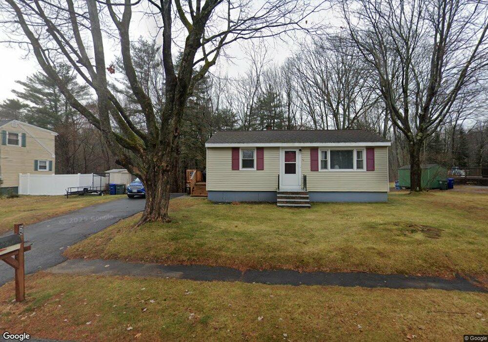
58 Puritan Dr Westbrook, ME 04092
Estimated Value: $344,312 - $409,000
2
Beds
1
Bath
768
Sq Ft
$504/Sq Ft
Est. Value
About This Home
This home is located at 58 Puritan Dr, Westbrook, ME 04092 and is currently estimated at $387,328, approximately $504 per square foot. 58 Puritan Dr is a home located in Cumberland County with nearby schools including Westbrook High School, St. Brigid School, and Breakwater School.
Ownership History
Date
Name
Owned For
Owner Type
Purchase Details
Closed on
Jul 1, 2010
Sold by
Trefethen Donald H and Trefethen Margaret M
Bought by
Smith Scott R
Current Estimated Value
Home Financials for this Owner
Home Financials are based on the most recent Mortgage that was taken out on this home.
Original Mortgage
$133,206
Outstanding Balance
$90,831
Interest Rate
5.25%
Mortgage Type
FHA
Estimated Equity
$296,497
Purchase Details
Closed on
Sep 6, 2007
Sold by
Trefethen Donald H and Trefethen Margaret M
Bought by
Trefethen Donald H and Trefethen Margaret M
Create a Home Valuation Report for This Property
The Home Valuation Report is an in-depth analysis detailing your home's value as well as a comparison with similar homes in the area
Home Values in the Area
Average Home Value in this Area
Purchase History
| Date | Buyer | Sale Price | Title Company |
|---|---|---|---|
| Smith Scott R | -- | -- | |
| Trefethen Donald H | -- | -- |
Source: Public Records
Mortgage History
| Date | Status | Borrower | Loan Amount |
|---|---|---|---|
| Open | Trefethen Donald H | $133,206 |
Source: Public Records
Tax History Compared to Growth
Tax History
| Year | Tax Paid | Tax Assessment Tax Assessment Total Assessment is a certain percentage of the fair market value that is determined by local assessors to be the total taxable value of land and additions on the property. | Land | Improvement |
|---|---|---|---|---|
| 2023 | $3,374 | $202,300 | $86,800 | $115,500 |
| 2022 | $3,055 | $168,800 | $72,400 | $96,400 |
| 2021 | $3,010 | $168,800 | $72,400 | $96,400 |
| 2020 | $3,015 | $168,800 | $72,400 | $96,400 |
| 2019 | $3,015 | $168,800 | $72,400 | $96,400 |
| 2018 | $2,811 | $144,800 | $62,900 | $81,900 |
| 2017 | $2,734 | $144,800 | $62,900 | $81,900 |
| 2016 | $3,250 | $144,800 | $62,900 | $81,900 |
| 2015 | $2,601 | $144,800 | $62,900 | $81,900 |
| 2014 | $2,491 | $144,800 | $62,900 | $81,900 |
| 2013 | $2,491 | $144,800 | $62,900 | $81,900 |
Source: Public Records
Map
Nearby Homes
- 11 Mayflower Rd
- 56 Constitution Dr
- 84 Hillside Rd
- 7 Apex Dr Unit 2
- 5 Apex Dr Unit 1
- 7 Collins Place Unit 6
- 317 Austin St Unit 7
- 167 Park Rd
- 0 Reed St
- 87 Hammond Rd
- 34 State St
- 46 Label Ave
- 33 Wilkie St
- 307 Main St
- 220 Lane Ave
- 155 Bridgton Rd
- 21 Castine Ave
- 384 Austin St
- 461 Bridge St
- 122 Cumberland St