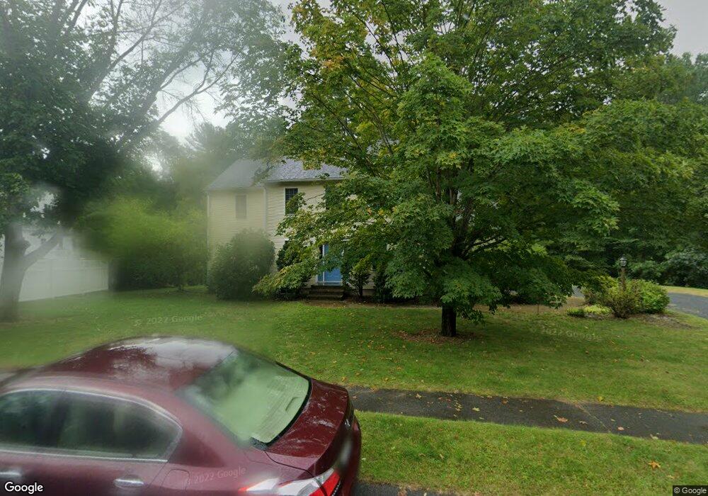
58 Randall Wood Dr Montague, MA 01351
Estimated Value: $439,574 - $512,000
3
Beds
3
Baths
2,256
Sq Ft
$215/Sq Ft
Est. Value
About This Home
This home is located at 58 Randall Wood Dr, Montague, MA 01351 and is currently estimated at $485,894, approximately $215 per square foot. 58 Randall Wood Dr is a home located in Franklin County with nearby schools including Holy Trinity School.
Ownership History
Date
Name
Owned For
Owner Type
Purchase Details
Closed on
Jun 30, 2008
Sold by
Chevalier Daniel J and Chevalier Kathryn M
Bought by
Pfoutz Nancy Carver and Pfoutz Robert Yale
Current Estimated Value
Home Financials for this Owner
Home Financials are based on the most recent Mortgage that was taken out on this home.
Original Mortgage
$153,750
Interest Rate
6.07%
Mortgage Type
Purchase Money Mortgage
Create a Home Valuation Report for This Property
The Home Valuation Report is an in-depth analysis detailing your home's value as well as a comparison with similar homes in the area
Home Values in the Area
Average Home Value in this Area
Purchase History
| Date | Buyer | Sale Price | Title Company |
|---|---|---|---|
| Pfoutz Nancy Carver | $307,500 | -- | |
| Pfoutz Nancy Carver | $307,500 | -- |
Source: Public Records
Mortgage History
| Date | Status | Borrower | Loan Amount |
|---|---|---|---|
| Open | Pfoutz Nancy Carver | $154,000 | |
| Closed | Pfoutz Nancy Carver | $153,750 |
Source: Public Records
Tax History Compared to Growth
Tax History
| Year | Tax Paid | Tax Assessment Tax Assessment Total Assessment is a certain percentage of the fair market value that is determined by local assessors to be the total taxable value of land and additions on the property. | Land | Improvement |
|---|---|---|---|---|
| 2025 | $5,644 | $371,100 | $60,300 | $310,800 |
| 2024 | $5,090 | $324,200 | $60,300 | $263,900 |
| 2023 | $4,953 | $316,500 | $60,300 | $256,200 |
| 2022 | $4,807 | $286,800 | $60,300 | $226,500 |
| 2021 | $4,768 | $273,400 | $49,700 | $223,700 |
| 2020 | $4,600 | $261,800 | $49,700 | $212,100 |
| 2019 | $4,497 | $262,500 | $58,700 | $203,800 |
| 2018 | $4,413 | $258,200 | $58,700 | $199,500 |
| 2017 | $4,304 | $258,200 | $58,700 | $199,500 |
| 2016 | $4,369 | $248,100 | $60,300 | $187,800 |
| 2015 | $4,208 | $248,100 | $60,300 | $187,800 |
| 2014 | $4,054 | $248,100 | $60,300 | $187,800 |
Source: Public Records
Map
Nearby Homes
- 38 Randall Wood Dr
- 55 A + B Randall Rd
- 114 Montague St
- 202 Turnpike Rd
- 89 Montague St
- 2 Alice St
- 183 Millers Falls Rd
- 109 Montague City Rd
- 45 Millers Falls Rd
- 0 Millers Falls Rd Unit 73034825
- 21 Hillside Ave
- 30 Park St
- 2 Orchard St
- 43 Crescent St
- 0 Marshall St
- 93 Maple St
- 30 Grinnell St
- 69 Madison Cir
- 10 Tulip Ln
- 73 Washington St
- 60 Randall Wood Dr
- 59 Randall Wood Dr
- 56 Randall Wood Dr
- 54 Randall Wood Dr
- 62 Randall Wood Dr
- 55 Randall Wood Dr
- 9 Randall Wood Dr
- 61 Randall Wood Dr
- 7 Randall Wood Dr
- 17 Randall Wood Dr
- 53 Randall Wood Dr
- 52 Randall Wood Dr
- 5 Randall Wood Dr
- 19 Randall Wood Dr
- 50 Randall Wood Dr
- 51 Randall Wood Dr
- 12 Randall Wood Dr
- 14 Randall Wood Dr
- 10 Randall Wood Dr
- 16 Randall Wood Dr