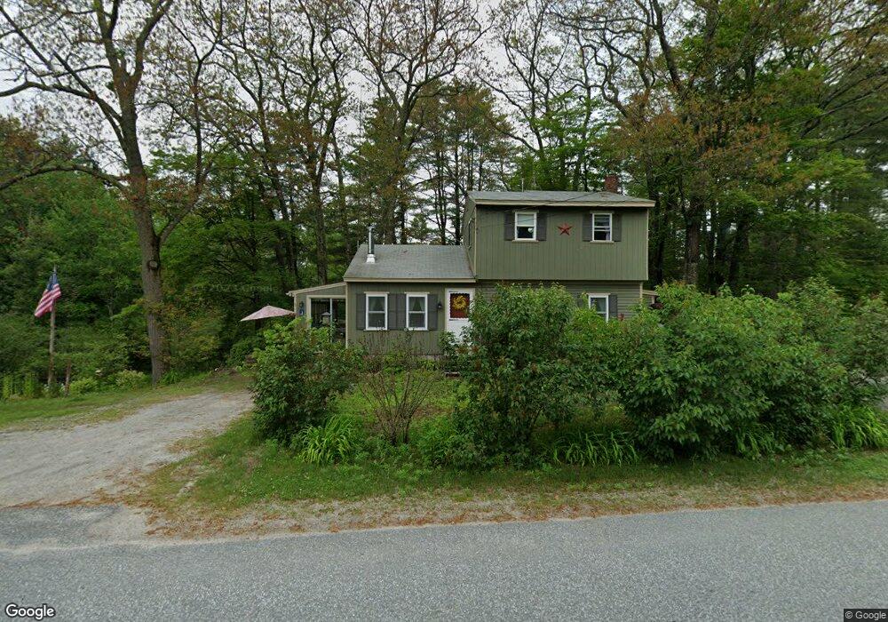
58 Sutton Rd Newbury, NH 03255
Estimated Value: $248,000 - $414,000
3
Beds
1
Bath
1,733
Sq Ft
$199/Sq Ft
Est. Value
About This Home
This home is located at 58 Sutton Rd, Newbury, NH 03255 and is currently estimated at $344,752, approximately $198 per square foot. 58 Sutton Rd is a home located in Merrimack County with nearby schools including Kearsarge Regional Elementary School at Bradford, Kearsarge Regional Middle School, and Kearsarge Regional High School.
Ownership History
Date
Name
Owned For
Owner Type
Purchase Details
Closed on
Jan 17, 2020
Sold by
Plunkett C J Est
Bought by
Plunkett Joseph and Plunkett Lillian M
Current Estimated Value
Home Financials for this Owner
Home Financials are based on the most recent Mortgage that was taken out on this home.
Original Mortgage
$95,000
Outstanding Balance
$84,146
Interest Rate
3.73%
Mortgage Type
Purchase Money Mortgage
Estimated Equity
$260,606
Create a Home Valuation Report for This Property
The Home Valuation Report is an in-depth analysis detailing your home's value as well as a comparison with similar homes in the area
Home Values in the Area
Average Home Value in this Area
Purchase History
| Date | Buyer | Sale Price | Title Company |
|---|---|---|---|
| Plunkett Joseph | $120,000 | None Available |
Source: Public Records
Mortgage History
| Date | Status | Borrower | Loan Amount |
|---|---|---|---|
| Open | Plunkett Joseph | $95,000 |
Source: Public Records
Tax History Compared to Growth
Tax History
| Year | Tax Paid | Tax Assessment Tax Assessment Total Assessment is a certain percentage of the fair market value that is determined by local assessors to be the total taxable value of land and additions on the property. | Land | Improvement |
|---|---|---|---|---|
| 2024 | $2,382 | $182,500 | $86,100 | $96,400 |
| 2023 | $2,382 | $182,500 | $86,100 | $96,400 |
| 2022 | $2,077 | $182,500 | $86,100 | $96,400 |
| 2021 | $2,077 | $182,500 | $86,100 | $96,400 |
| 2020 | $1,984 | $120,100 | $51,700 | $68,400 |
| 2019 | $1,907 | $120,100 | $51,700 | $68,400 |
| 2018 | $1,862 | $120,100 | $51,700 | $68,400 |
| 2017 | $1,887 | $120,100 | $51,700 | $68,400 |
| 2016 | $1,928 | $120,100 | $51,700 | $68,400 |
| 2015 | $2,082 | $127,900 | $51,700 | $76,200 |
| 2014 | $1,981 | $127,900 | $51,700 | $76,200 |
| 2013 | $1,910 | $127,900 | $51,700 | $76,200 |
Source: Public Records
Map
Nearby Homes
- 108 Circle View Dr
- 420 Sutton Rd
- 200 South Rd
- 318 Old Post Rd
- 263 Old Post Rd
- 6 Chapin Way Unit 6
- 12 Chapin Way Unit Lot 12
- 61 Brookside Rd
- 00 Brookside Rd Unit 530-317&525-332
- 214 Winding Brook Rd
- 0 Crest Dr Unit 4996159
- 44 Pleasant View Rd
- 306 Mountain Rd
- 98 Woodview Heights
- 00 Fairgrounds Rd Unit 5
- 55 Water St
- 99 Newell Rd
- 114 E Main St
- 5 Greenhouse Ln
- 19 Center Rd
- 67 Sutton Rd
- 68 Sutton Rd
- 11 Birchfield Rd
- 19 Birchfield Rd
- 23 Sutton Rd
- 37 Birchfield Rd
- 41 Birchfield Rd
- 12 Alpine Cir
- 19 Sutton Rd
- 20 Sutton Rd
- 20 Sutton Road & Route 103
- 26 Birchfield Rd
- 43 Birchfield Rd
- 105 Sutton Rd
- 542 Old Post Rd
- 20 Ridge Rd
- 0 Ridge Rd
- 0 Ridge Rd Unit 4103290
- 0 Ridge Rd Unit 4103278
- 0 Ridge Rd Unit 4817729