58 Watson Rd Poland, ME 04274
Estimated Value: $392,000 - $643,000
4
Beds
3
Baths
1,003
Sq Ft
$496/Sq Ft
Est. Value
About This Home
This home is located at 58 Watson Rd, Poland, ME 04274 and is currently estimated at $497,915, approximately $496 per square foot. 58 Watson Rd is a home with nearby schools including Poland Community School, Bruce M. Whittier Middle School, and Poland Regional High School.
Ownership History
Date
Name
Owned For
Owner Type
Purchase Details
Closed on
Mar 6, 2019
Sold by
Just Rite Inc
Bought by
Merrill Brian R and Merrill Madalyne M
Current Estimated Value
Purchase Details
Closed on
Jan 30, 2018
Sold by
Merrill Brian T and Merrill Ashley K
Bought by
Merrill Brian R and Merrill Madalyne M
Home Financials for this Owner
Home Financials are based on the most recent Mortgage that was taken out on this home.
Original Mortgage
$128,000
Interest Rate
3.93%
Mortgage Type
Unknown
Purchase Details
Closed on
Sep 7, 2016
Sold by
Just Rite Inc
Bought by
Merrill Brian T and Merrill Ashley K
Purchase Details
Closed on
Apr 18, 2014
Sold by
Storer Glenn
Bought by
Just Rite Inc
Purchase Details
Closed on
Oct 3, 2012
Sold by
Burdick Jon D
Bought by
Storer Glenn
Create a Home Valuation Report for This Property
The Home Valuation Report is an in-depth analysis detailing your home's value as well as a comparison with similar homes in the area
Home Values in the Area
Average Home Value in this Area
Purchase History
| Date | Buyer | Sale Price | Title Company |
|---|---|---|---|
| Merrill Brian R | -- | -- | |
| Just Rite Inc | -- | -- | |
| Merrill Brian R | -- | -- | |
| Merrill Brian T | -- | -- | |
| Just Rite Inc | -- | -- | |
| Storer Glenn | -- | -- |
Source: Public Records
Mortgage History
| Date | Status | Borrower | Loan Amount |
|---|---|---|---|
| Previous Owner | Merrill Brian R | $128,000 |
Source: Public Records
Tax History Compared to Growth
Tax History
| Year | Tax Paid | Tax Assessment Tax Assessment Total Assessment is a certain percentage of the fair market value that is determined by local assessors to be the total taxable value of land and additions on the property. | Land | Improvement |
|---|---|---|---|---|
| 2024 | $5,078 | $307,200 | $56,300 | $250,900 |
| 2023 | $4,190 | $307,200 | $56,300 | $250,900 |
| 2022 | $3,866 | $256,000 | $46,900 | $209,100 |
| 2021 | $3,866 | $256,000 | $46,900 | $209,100 |
| 2020 | $3,782 | $252,500 | $46,900 | $205,600 |
| 2019 | $3,782 | $252,500 | $46,900 | $205,600 |
| 2018 | $3,288 | $219,520 | $46,880 | $172,640 |
| 2016 | $416 | $28,880 | $28,880 | $0 |
| 2015 | $410 | $28,880 | $28,880 | $0 |
| 2014 | $404 | $28,880 | $28,880 | $0 |
| 2013 | $394 | $28,880 | $28,880 | $0 |
Source: Public Records
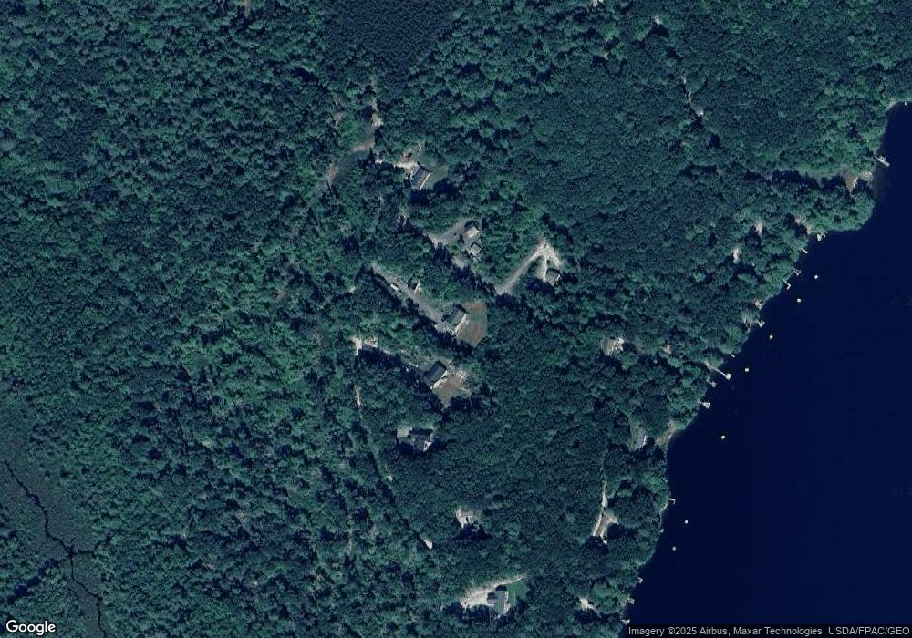
Map
Nearby Homes
- 325 N Raymond Rd
- 6 Justrite Way
- 192 Mountain Rd
- 80 Spiller Hill Rd
- 27 Justrite Way
- 148 Spiller Hill Rd
- 26 Carpenter Rd
- Lot 47D -C Hines Rd
- 46-47D Hines Rd & Main St
- 0 Lucys Dr
- 53 Westview Dr
- 0 Mountain Rd
- Lot 46 Maine St
- Lot 47C-3 Maine St
- Lot 8 Bakerstown Rd
- 10-7B White Oak Hill Rd
- 4 Colonial Dr
- 255 Raymond Hill Rd
- 0 Gladstone Dr Unit 1642697
- 13 & 16 Joyal Hill Ln
- 68 Watson Rd
- 6 Carr Way
- 14 Carr Way
- Lot 3 Watson Rd
- 50 Watson Rd
- Lot 2 Watson Rd
- 55 Upper Range Dr
- Lot 4 Watson Rd
- M5 L16C-1 Watson Rd
- 54 Upper Range Dr
- 90 Watson Rd
- 110 Watson Rd
- 102 Watson Rd
- Lot 1 Watson Rd
- 60 Upper Range Dr
- 61 Spruce Dr
- 42 Upper Range Dr
- 59 Spruce Dr
- 48 Upper Range Dr
- 38 Upper Range Dr