58 Z Bar T Rd Whitehall, MT 59759
Estimated Value: $580,000 - $778,000
2
Beds
2
Baths
1,488
Sq Ft
$450/Sq Ft
Est. Value
About This Home
This home is located at 58 Z Bar T Rd, Whitehall, MT 59759 and is currently estimated at $669,387, approximately $449 per square foot. 58 Z Bar T Rd is a home located in Jefferson County with nearby schools including Whitehall Elementary School, Whitehall Middle School, and Whitehall High School.
Ownership History
Date
Name
Owned For
Owner Type
Purchase Details
Closed on
Feb 3, 2023
Sold by
Kopf Peter
Bought by
Kopf Peter and Kopf Barbra
Current Estimated Value
Purchase Details
Closed on
Dec 8, 2005
Sold by
Wilson William S
Bought by
Kopf Peter and Kopf Barbara
Home Financials for this Owner
Home Financials are based on the most recent Mortgage that was taken out on this home.
Original Mortgage
$316,000
Interest Rate
6.32%
Mortgage Type
Purchase Money Mortgage
Create a Home Valuation Report for This Property
The Home Valuation Report is an in-depth analysis detailing your home's value as well as a comparison with similar homes in the area
Home Values in the Area
Average Home Value in this Area
Purchase History
| Date | Buyer | Sale Price | Title Company |
|---|---|---|---|
| Kopf Peter | -- | -- | |
| Kopf Peter | -- | None Available |
Source: Public Records
Mortgage History
| Date | Status | Borrower | Loan Amount |
|---|---|---|---|
| Previous Owner | Kopf Peter | $316,000 |
Source: Public Records
Tax History Compared to Growth
Tax History
| Year | Tax Paid | Tax Assessment Tax Assessment Total Assessment is a certain percentage of the fair market value that is determined by local assessors to be the total taxable value of land and additions on the property. | Land | Improvement |
|---|---|---|---|---|
| 2025 | $2,858 | $620,200 | $0 | $0 |
| 2024 | $2,718 | $438,637 | $0 | $0 |
| 2023 | $2,780 | $438,637 | $0 | $0 |
| 2022 | $2,446 | $328,371 | $0 | $0 |
| 2021 | $2,185 | $328,371 | $0 | $0 |
| 2020 | $2,149 | $295,238 | $0 | $0 |
| 2019 | $2,163 | $295,238 | $0 | $0 |
| 2018 | $1,959 | $261,299 | $0 | $0 |
| 2017 | $1,659 | $261,299 | $0 | $0 |
| 2016 | $1,480 | $212,100 | $0 | $0 |
| 2015 | $1,392 | $212,100 | $0 | $0 |
| 2014 | $1,095 | $95,795 | $0 | $0 |
Source: Public Records
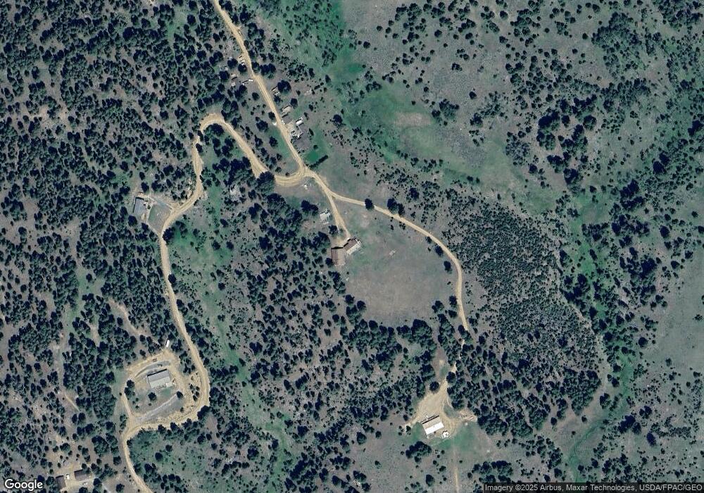
Map
Nearby Homes
- tbd Upper Radar Creek Rd
- 91 Upper Radar Creek Rd
- 11 Lost Moose Bend
- 16 Friendspring Rd
- TBD Grace Rd
- 91 Upper Rader Creek Rd
- tbd Upper Rader Creek Rd
- 34 Appe Ln
- 360 Roosevelt Dr
- 180 Lower Rader Creek Rd
- 427 Roosevelt Dr
- LOT 6 Tbd Stonecrop Rd
- 967 Mt Highway 2 W
- 2171 Janney Rd
- LOT 2 Tbd Stonecrop Rd
- 189 Blacktail Canyon Rd
- TBD Friendspring Rd
- 842 Mt Highway 2 W
- 456 Friendspring Rd
- 207 Cyprus Dr