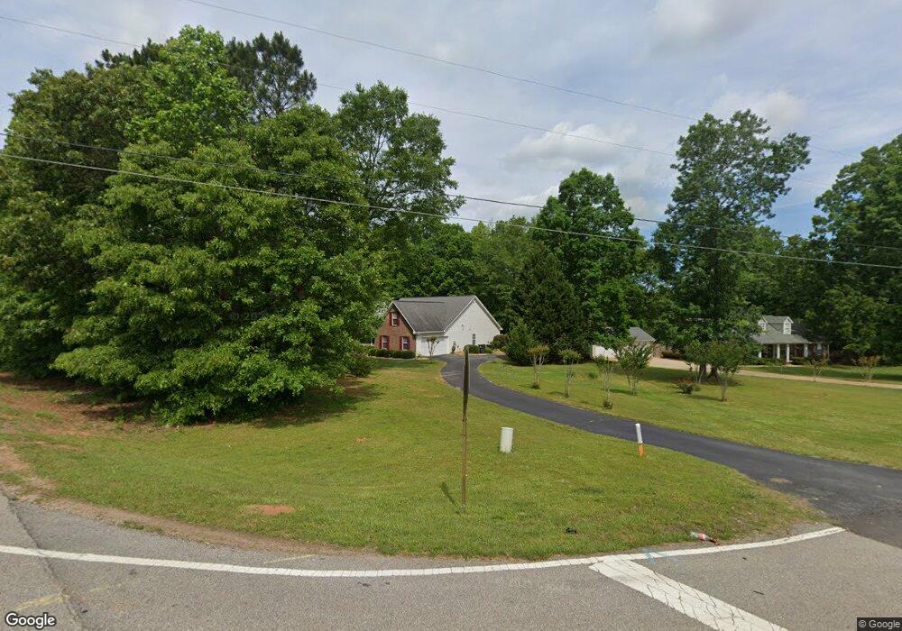
580 Austin Dr McDonough, GA 30252
Estimated Value: $294,518 - $315,000
3
Beds
2
Baths
1,801
Sq Ft
$170/Sq Ft
Est. Value
About This Home
This home is located at 580 Austin Dr, McDonough, GA 30252 and is currently estimated at $306,880, approximately $170 per square foot. 580 Austin Dr is a home located in Henry County with nearby schools including Ola Elementary School, Ola Middle School, and Ola High School.
Ownership History
Date
Name
Owned For
Owner Type
Purchase Details
Closed on
Jun 18, 2018
Sold by
Dunkerley William E
Bought by
Dunkerley William E and Dunkerley Dalrene K
Current Estimated Value
Purchase Details
Closed on
Mar 24, 2004
Sold by
Vaughn Veronica L
Bought by
Dunkerley William E
Home Financials for this Owner
Home Financials are based on the most recent Mortgage that was taken out on this home.
Original Mortgage
$149,900
Interest Rate
5.55%
Mortgage Type
New Conventional
Purchase Details
Closed on
Aug 30, 2001
Sold by
Clint Adamson Homes
Bought by
Vaughn Veronica L
Home Financials for this Owner
Home Financials are based on the most recent Mortgage that was taken out on this home.
Original Mortgage
$124,450
Interest Rate
6.98%
Mortgage Type
New Conventional
Create a Home Valuation Report for This Property
The Home Valuation Report is an in-depth analysis detailing your home's value as well as a comparison with similar homes in the area
Home Values in the Area
Average Home Value in this Area
Purchase History
| Date | Buyer | Sale Price | Title Company |
|---|---|---|---|
| Dunkerley William E | -- | -- | |
| Dunkerley William E | $149,900 | -- | |
| Vaughn Veronica L | $131,000 | -- |
Source: Public Records
Mortgage History
| Date | Status | Borrower | Loan Amount |
|---|---|---|---|
| Previous Owner | Dunkerley William E | $149,900 | |
| Previous Owner | Vaughn Veronica L | $124,450 |
Source: Public Records
Tax History Compared to Growth
Tax History
| Year | Tax Paid | Tax Assessment Tax Assessment Total Assessment is a certain percentage of the fair market value that is determined by local assessors to be the total taxable value of land and additions on the property. | Land | Improvement |
|---|---|---|---|---|
| 2024 | $809 | $119,040 | $13,800 | $105,240 |
| 2023 | $537 | $122,480 | $13,280 | $109,200 |
| 2022 | $667 | $98,000 | $12,280 | $85,720 |
| 2021 | $657 | $80,160 | $10,520 | $69,640 |
| 2020 | $653 | $73,000 | $9,920 | $63,080 |
| 2019 | $650 | $67,520 | $9,400 | $58,120 |
| 2018 | $648 | $62,600 | $8,680 | $53,920 |
| 2016 | $591 | $52,400 | $6,440 | $45,960 |
| 2015 | $503 | $44,200 | $7,280 | $36,920 |
| 2014 | $399 | $37,040 | $7,280 | $29,760 |
Source: Public Records
Map
Nearby Homes
- 4280 Highway 81 E
- 530 Austin Dr
- 500 Austin Dr
- 144 Buddy Blvd
- 3000 Keeneland Blvd
- 393 Stallsworth Rd
- 527 Barhams Ridge Dr
- 4075 O Henry Ct
- 415 Pamela Ct
- 545 Barhams Ridge Dr
- 172 Austin Dr
- 132 Austin Dr
- 507 Judith Ct Unit 3
- 0 Keys Ferry Rd Unit 10362682
- 0 Keys Ferry Rd Unit 10362675
- 501 Barhams Ridge Dr
- 1908 Munford Place
- 124 Wynn Rd
- 180 Mackey Rd
- 170 Mackey Rd
- 0 Austin Dr Unit 10169738
- 0 Austin Dr Unit 7083645
- 0 Austin Dr Unit 7004629
- 0 Austin Dr Unit 8549396
- 0 Austin Dr Unit 8043147
- 0 Austin Dr Unit 8150217
- 0 Austin Dr Unit 7179105
- 0 Austin Dr Unit 3246063
- 0 Austin Dr Unit 7497084
- 0 Austin Dr Unit 7341901
- 0 Austin Dr Unit 7131677
- 0 Austin Dr Unit 3144528
- 0 Austin Dr Unit 3022427
- 0 Austin Dr Unit 8110039
- 570 Austin Dr
- 230 Albertas Ct
- 4075 Highway 81 E
- 240 Albertas Ct
- 4080 Highway 81 E
- 220 Albertas Ct