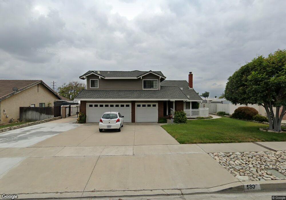
580 E Ranger St Upland, CA 91784
Estimated Value: $963,201 - $1,067,000
4
Beds
3
Baths
2,246
Sq Ft
$452/Sq Ft
Est. Value
About This Home
This home is located at 580 E Ranger St, Upland, CA 91784 and is currently estimated at $1,014,300, approximately $451 per square foot. 580 E Ranger St is a home located in San Bernardino County with nearby schools including Sierra Vista Elementary School, Pioneer Junior High School, and Upland High School.
Ownership History
Date
Name
Owned For
Owner Type
Purchase Details
Closed on
May 27, 2008
Sold by
Gold Mitchell L and Gold Rita L
Bought by
Gold Mitchell L and Gold Rita L
Current Estimated Value
Purchase Details
Closed on
Jan 18, 1995
Sold by
Bither Barry D and Bither Marilyn L
Bought by
Gold Mitchell L and Gold Rita L
Home Financials for this Owner
Home Financials are based on the most recent Mortgage that was taken out on this home.
Original Mortgage
$181,750
Interest Rate
9.2%
Create a Home Valuation Report for This Property
The Home Valuation Report is an in-depth analysis detailing your home's value as well as a comparison with similar homes in the area
Home Values in the Area
Average Home Value in this Area
Purchase History
| Date | Buyer | Sale Price | Title Company |
|---|---|---|---|
| Gold Mitchell L | -- | None Available | |
| Gold Mitchell L | -- | None Available | |
| Gold Mitchell L | $232,000 | First American Title Ins Co |
Source: Public Records
Mortgage History
| Date | Status | Borrower | Loan Amount |
|---|---|---|---|
| Closed | Gold Mitchell L | $181,750 |
Source: Public Records
Tax History
| Year | Tax Paid | Tax Assessment Tax Assessment Total Assessment is a certain percentage of the fair market value that is determined by local assessors to be the total taxable value of land and additions on the property. | Land | Improvement |
|---|---|---|---|---|
| 2025 | $4,378 | $395,724 | $103,721 | $292,003 |
| 2024 | $4,238 | $387,964 | $101,687 | $286,277 |
| 2023 | $4,172 | $380,357 | $99,693 | $280,664 |
| 2022 | $4,080 | $372,899 | $97,738 | $275,161 |
| 2021 | $4,073 | $365,588 | $95,822 | $269,766 |
| 2020 | $3,962 | $361,839 | $94,839 | $267,000 |
| 2019 | $3,947 | $354,744 | $92,979 | $261,765 |
| 2018 | $3,851 | $347,788 | $91,156 | $256,632 |
| 2017 | $3,739 | $340,969 | $89,369 | $251,600 |
| 2016 | $3,534 | $334,284 | $87,617 | $246,667 |
| 2015 | $3,453 | $329,263 | $86,301 | $242,962 |
| 2014 | $3,363 | $322,813 | $84,610 | $238,203 |
Source: Public Records
Map
Nearby Homes
- 1015 Pebble Beach Dr
- 1844 N 1st Ave
- 1060 Pebble Beach Dr Unit 58
- 1837 N 1st Ave
- 1238 Leggio Ln
- 1942 N 3rd Ave
- 1695 N Palm Ave
- 1629 N Palm Ave
- 1182 Upland Hills Dr S
- 655 Doreen Ct
- 252 W 19th St
- 1267 Kendra Ln
- 1418 Winston Ct
- 1409 Upland Hills Dr N Unit N
- 171 E 14th St
- 1842 Richards Place
- 1499 Alta Ave
- 1377 N Shelley Ave
- 635 W 16th St
- 1623 N Vallejo Way
- 562 E Ranger St
- 598 E Ranger St
- 579 E 17th St
- 561 E 17th St
- 599 E 17th St
- 1727 Fernbrook Ave
- 540 E Ranger St
- 1726 Sunnybrook Ave
- 543 E 17th St
- 1716 Fernbrook Ave
- 1735 Fernbrook Ave
- 1734 Sunnybrook Ave
- 1710 Fernbrook Ave
- 1711 Sunnybrook Ave
- 1722 Fernbrook Ave
- 1717 Sunnybrook Ave
- 525 E 17th St
- 1704 Fernbrook Ave
- 1696 Sunnybrook Ave
- 1728 Fernbrook Ave
Your Personal Tour Guide
Ask me questions while you tour the home.