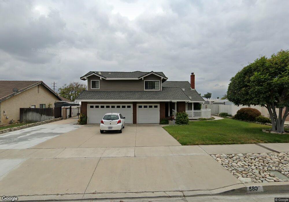
580 E Ranger St Upland, CA 91784
Estimated Value: $984,000 - $1,011,336
About This Home
This home is located at 580 E Ranger St, Upland, CA 91784 and is currently estimated at $1,003,084, approximately $446 per square foot. 580 E Ranger St is a home located in San Bernardino County with nearby schools including Sierra Vista Elementary School, Pioneer Junior High School, and Upland High School.
Ownership History
We collect this data history from publicly available records. To have your information removed, we recommend requesting removal directly through your county’s website.
Purchase Details
Purchase Details
Home Financials for this Owner
Home Financials are based on the most recent Mortgage that was taken out on this home.Home Values in the Area
Average Home Value in this Area
Purchase History
We collect this data history from publicly available records. To have your information removed, we recommend requesting removal directly through your county’s website.
| Date | Buyer | Sale Price | Title Company |
|---|---|---|---|
| -- | None Available | ||
| -- | None Available | ||
| $232,000 | First American Title Ins Co |
Mortgage History
We collect this data history from publicly available records. To have your information removed, we recommend requesting removal directly through your county’s website.
| Date | Status | Borrower | Loan Amount |
|---|---|---|---|
| Closed | $181,750 |
Tax History
We collect this data history from publicly available records. To have your information removed, we recommend requesting removal directly through your county’s website.
| Year | Tax Paid | Tax Assessment Tax Assessment Total Assessment is a certain percentage of the fair market value that is determined by local assessors to be the total taxable value of land and additions on the property. | Land | Improvement |
|---|---|---|---|---|
| 2025 | $4,378 | $395,724 | $103,721 | $292,003 |
| 2024 | $4,238 | $387,964 | $101,687 | $286,277 |
| 2023 | $4,172 | $380,357 | $99,693 | $280,664 |
| 2022 | $4,080 | $372,899 | $97,738 | $275,161 |
| 2021 | $4,073 | $365,588 | $95,822 | $269,766 |
| 2020 | $3,962 | $361,839 | $94,839 | $267,000 |
| 2019 | $3,947 | $354,744 | $92,979 | $261,765 |
| 2018 | $3,851 | $347,788 | $91,156 | $256,632 |
| 2017 | $3,739 | $340,969 | $89,369 | $251,600 |
| 2016 | $3,534 | $334,284 | $87,617 | $246,667 |
| 2015 | $3,453 | $329,263 | $86,301 | $242,962 |
| 2014 | $3,363 | $322,813 | $84,610 | $238,203 |
Map
- 1748 Eastview Ave
- 1827 N Christopher Ave
- 975 Pebble Beach Dr Unit 77
- 1015 Pebble Beach Dr
- 1080 Pebble Beach Dr
- 322 E 19th St
- 1613 Masters Dr
- 1632 Faldo Ct
- 1942 N 3rd Ave
- 1188 Winged Foot Dr
- 1695 N Palm Ave
- 356 E Cumberland St
- 655 Doreen Ct
- 1244 Winged Foot Dr Unit 24
- 1252 Winged Foot Dr
- 1471 N 1st Ave
- 252 W 19th St
- 1259 Upland Hills Dr S
- 1267 Kendra Ln
- 1256 Upland Hills Dr S
- 540 E Ranger St
- 562 E Ranger St
- 1717 Sunnybrook Ave
- 543 E 17th St
- 525 E 17th St
- 561 E 17th St
- 1711 Sunnybrook Ave
- 1725 Sunnybrook Ave
- 511 E 17th St
- 1726 Sunnybrook Ave
- 579 E 17th St
- 1714 Winston Ave
- 1718 Winston Ave
- 1731 Sunnybrook Ave
- 501 E 17th St
- 598 E Ranger St
- 1726 Winston Ave
- 1734 Sunnybrook Ave
- 599 E 17th St
- 1695 Sunnybrook Ave
Ask me questions while you tour the home.