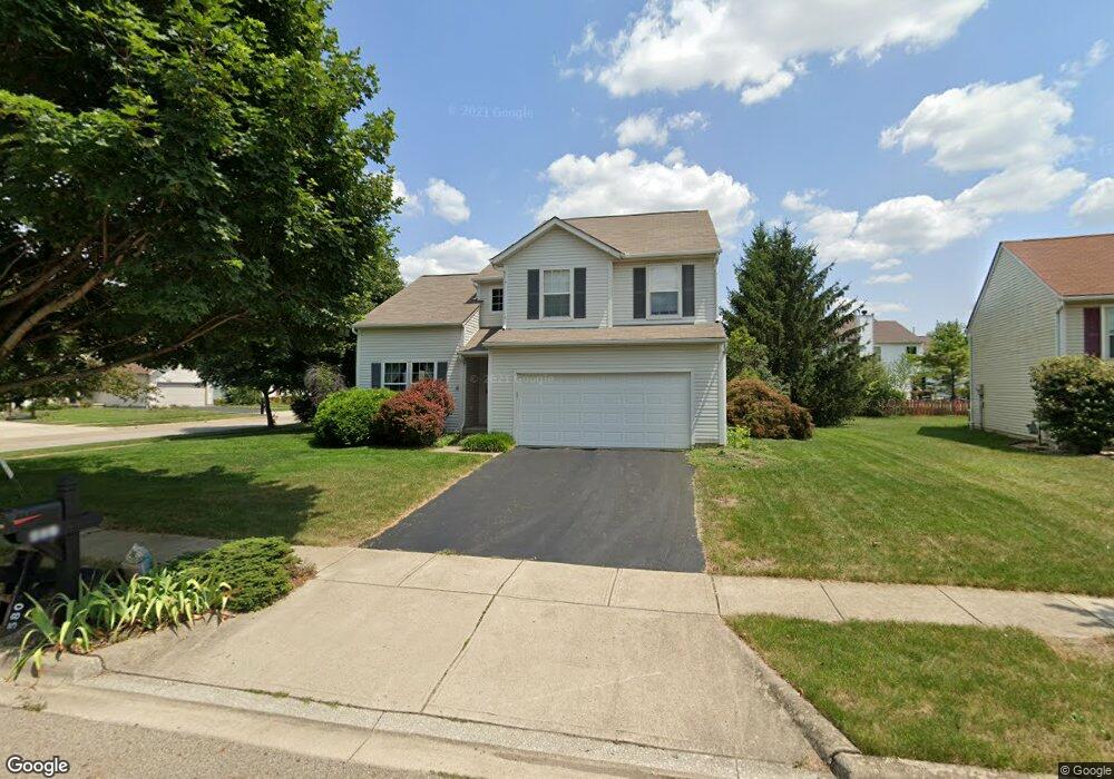
580 Thorngate Ct Galloway, OH 43119
Wexford-Thornapple NeighborhoodEstimated Value: $430,767 - $466,000
4
Beds
3
Baths
2,249
Sq Ft
$198/Sq Ft
Est. Value
About This Home
This home is located at 580 Thorngate Ct, Galloway, OH 43119 and is currently estimated at $444,442, approximately $197 per square foot. 580 Thorngate Ct is a home located in Franklin County with nearby schools including Alton Darby Elementary School, Hilliard Station Sixth Grade Elementary School, and Hilliard Memorial Middle School.
Ownership History
Date
Name
Owned For
Owner Type
Purchase Details
Closed on
Dec 17, 1999
Sold by
Centex Homes
Bought by
Kim Philip L and Kim Gina K
Current Estimated Value
Home Financials for this Owner
Home Financials are based on the most recent Mortgage that was taken out on this home.
Original Mortgage
$176,865
Outstanding Balance
$51,699
Interest Rate
7.87%
Estimated Equity
$392,743
Create a Home Valuation Report for This Property
The Home Valuation Report is an in-depth analysis detailing your home's value as well as a comparison with similar homes in the area
Home Values in the Area
Average Home Value in this Area
Purchase History
| Date | Buyer | Sale Price | Title Company |
|---|---|---|---|
| Kim Philip L | $186,200 | Chicago Title |
Source: Public Records
Mortgage History
| Date | Status | Borrower | Loan Amount |
|---|---|---|---|
| Open | Kim Philip L | $176,865 |
Source: Public Records
Tax History
| Year | Tax Paid | Tax Assessment Tax Assessment Total Assessment is a certain percentage of the fair market value that is determined by local assessors to be the total taxable value of land and additions on the property. | Land | Improvement |
|---|---|---|---|---|
| 2025 | $7,646 | $135,380 | $36,750 | $98,630 |
| 2024 | $7,646 | $135,380 | $36,750 | $98,630 |
| 2023 | $6,624 | $135,380 | $36,750 | $98,630 |
| 2022 | $5,535 | $90,590 | $20,900 | $69,690 |
| 2021 | $5,530 | $90,590 | $20,900 | $69,690 |
| 2020 | $5,514 | $90,590 | $20,900 | $69,690 |
| 2019 | $5,387 | $75,570 | $17,400 | $58,170 |
| 2018 | $5,293 | $75,570 | $17,400 | $58,170 |
| 2017 | $5,467 | $75,570 | $17,400 | $58,170 |
| 2016 | $5,570 | $72,670 | $13,900 | $58,770 |
| 2015 | $5,220 | $72,670 | $13,900 | $58,770 |
| 2014 | $5,230 | $72,670 | $13,900 | $58,770 |
| 2013 | $2,649 | $72,660 | $13,895 | $58,765 |
Source: Public Records
Map
Nearby Homes
- 363 Proclaim Ln Unit 105
- 5883 Ratification Dr Unit 86
- 5946 Wellbrid Dr
- 395 Millett Dr
- 5536 Cedar Springs Unit 5536A
- 5488 Cedar Springs Unit 5488A
- 5821 Wellbrid Dr
- 847 Claytonbend Dr
- 5412 Cedar Springs Unit 5412A
- 376 Galloway Ridge Dr
- 112 Alton Darby Creek Rd
- 952 Hartford Village Blvd Unit 952
- 960 Hartford Village Blvd
- 1024 Hartford Village Blvd Unit 1024
- 5773 Sharets Dr
- 6037 Carmell Dr
- 6008 Wexford Park Dr
- 5409 Longworth Dr
- 381 Pasadena Ave
- 5686 Alliance Way
- 572 Thorngate Ct
- 581 Crestmont Ct
- 573 Crestmont Ct
- 5896 Thorngate Dr
- 5888 Thorngate Dr
- 564 Thorngate Ct
- 579 Thorngate Ct
- 5904 Thorngate Dr
- 5880 Thorngate Dr
- 555 Thorngate Ct
- 556 Thorngate Ct
- 5912 Thorngate Dr
- 5872 Thorngate Dr
- 564 Thorngate Dr
- 531 Thorngate Dr
- 565 Crestmont Ct
- 5920 Thorngate Dr
- 5927 Thorngate Dr
- 5864 Thorngate Dr
- 5789 Camhurst Ct