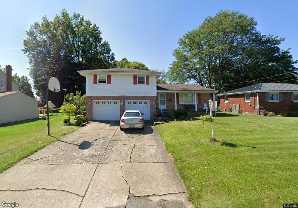
580 W Omar St Struthers, OH 44471
Estimated Value: $207,149 - $280,000
3
Beds
2
Baths
1,882
Sq Ft
$121/Sq Ft
Est. Value
About This Home
This home is located at 580 W Omar St, Struthers, OH 44471 and is currently estimated at $227,287, approximately $120 per square foot. 580 W Omar St is a home located in Mahoning County with nearby schools including Mckamy Elementary School, Carrollton Elementary School, and Lovett Elementary School.
Ownership History
Date
Name
Owned For
Owner Type
Purchase Details
Closed on
Apr 30, 1999
Sold by
Rock Frank A and Rock Mailene G
Bought by
Davis Douglas E and Davis Lynda M
Current Estimated Value
Home Financials for this Owner
Home Financials are based on the most recent Mortgage that was taken out on this home.
Original Mortgage
$75,000
Outstanding Balance
$19,395
Interest Rate
7.05%
Estimated Equity
$207,892
Purchase Details
Closed on
Aug 31, 1994
Bought by
Spiker William C
Purchase Details
Closed on
Aug 13, 1963
Bought by
Rock Frank A and M G
Create a Home Valuation Report for This Property
The Home Valuation Report is an in-depth analysis detailing your home's value as well as a comparison with similar homes in the area
Home Values in the Area
Average Home Value in this Area
Purchase History
| Date | Buyer | Sale Price | Title Company |
|---|---|---|---|
| Davis Douglas E | $97,500 | -- | |
| Spiker William C | $79,000 | -- | |
| Rock Frank A | -- | -- |
Source: Public Records
Mortgage History
| Date | Status | Borrower | Loan Amount |
|---|---|---|---|
| Open | Davis Douglas E | $75,000 |
Source: Public Records
Tax History Compared to Growth
Tax History
| Year | Tax Paid | Tax Assessment Tax Assessment Total Assessment is a certain percentage of the fair market value that is determined by local assessors to be the total taxable value of land and additions on the property. | Land | Improvement |
|---|---|---|---|---|
| 2024 | $2,119 | $50,920 | $5,230 | $45,690 |
| 2023 | $2,083 | $50,920 | $5,230 | $45,690 |
| 2022 | $2,121 | $39,260 | $4,910 | $34,350 |
| 2021 | $2,102 | $39,260 | $4,910 | $34,350 |
| 2020 | $2,111 | $39,260 | $4,910 | $34,350 |
| 2019 | $2,020 | $34,140 | $4,270 | $29,870 |
| 2018 | $1,927 | $34,140 | $4,270 | $29,870 |
| 2017 | $1,924 | $34,140 | $4,270 | $29,870 |
| 2016 | $1,928 | $35,010 | $4,990 | $30,020 |
| 2015 | $1,883 | $35,010 | $4,990 | $30,020 |
| 2014 | $1,890 | $35,010 | $4,990 | $30,020 |
| 2013 | $1,756 | $35,010 | $4,990 | $30,020 |
Source: Public Records
Map
Nearby Homes
- 576 W Harvey St
- 525 W Omar St
- 550 Brandon Ave
- 2089 Shetland Ln
- 478 W Harvey St
- 2296 Knollwood Ave
- 5710 Youngstown Poland Rd
- 1933 Brandon Ave
- 2128 Lyon Blvd
- 1919 Wingate Rd
- 2153 Lyon Blvd
- 2021 Country Club Ave
- 418 W Wilson St
- 2411 Lyon Blvd
- 0 Oles Ave
- 1913 Country Club Ave
- 0 Woodlawn Ave
- 2035 Woodward Ave
- 2307 Hamilton Ave
- 1890 Mathews Rd