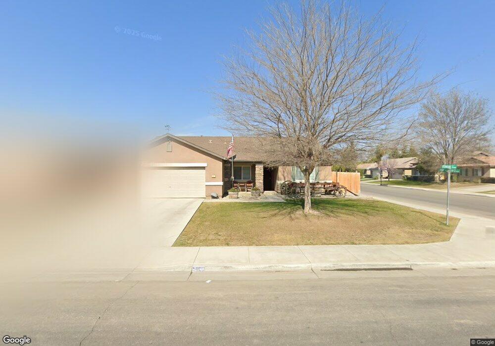
5800 Fernside Ct Bakersfield, CA 93313
Panama NeighborhoodEstimated Value: $403,000 - $436,000
3
Beds
2
Baths
1,679
Sq Ft
$247/Sq Ft
Est. Value
About This Home
This home is located at 5800 Fernside Ct, Bakersfield, CA 93313 and is currently estimated at $414,847, approximately $247 per square foot. 5800 Fernside Ct is a home located in Kern County with nearby schools including Bill L. Williams Elementary School, Stonecreek Junior High School, and Ridgeview High School.
Ownership History
Date
Name
Owned For
Owner Type
Purchase Details
Closed on
Aug 23, 2007
Sold by
Centex Homes
Bought by
Clements Bradley and Clements Andria
Current Estimated Value
Home Financials for this Owner
Home Financials are based on the most recent Mortgage that was taken out on this home.
Original Mortgage
$273,028
Interest Rate
6.27%
Mortgage Type
FHA
Create a Home Valuation Report for This Property
The Home Valuation Report is an in-depth analysis detailing your home's value as well as a comparison with similar homes in the area
Home Values in the Area
Average Home Value in this Area
Purchase History
| Date | Buyer | Sale Price | Title Company |
|---|---|---|---|
| Clements Bradley | $277,500 | Commerce Title Company |
Source: Public Records
Mortgage History
| Date | Status | Borrower | Loan Amount |
|---|---|---|---|
| Previous Owner | Clements Bradley | $273,028 |
Source: Public Records
Tax History Compared to Growth
Tax History
| Year | Tax Paid | Tax Assessment Tax Assessment Total Assessment is a certain percentage of the fair market value that is determined by local assessors to be the total taxable value of land and additions on the property. | Land | Improvement |
|---|---|---|---|---|
| 2025 | $4,976 | $363,828 | $105,072 | $258,756 |
| 2024 | $4,890 | $356,695 | $103,012 | $253,683 |
| 2023 | $4,890 | $349,702 | $100,993 | $248,709 |
| 2022 | $4,002 | $283,000 | $71,000 | $212,000 |
| 2021 | $3,821 | $273,000 | $68,000 | $205,000 |
| 2020 | $3,492 | $247,000 | $62,000 | $185,000 |
| 2019 | $3,444 | $242,000 | $61,000 | $181,000 |
| 2018 | $3,180 | $227,000 | $57,000 | $170,000 |
| 2017 | $3,057 | $217,000 | $54,000 | $163,000 |
| 2016 | $2,954 | $219,000 | $55,000 | $164,000 |
| 2015 | $2,948 | $217,000 | $54,000 | $163,000 |
| 2014 | $2,779 | $204,000 | $51,000 | $153,000 |
Source: Public Records
Map
Nearby Homes
- 9402 Cobble Mountain Rd
- 9301 Cobble Mountain Rd
- 9623 Kanosh Cobble Dr
- 5808 Esmerelda Ave
- 6028 Bogart Dr
- 6021 Bogart Dr
- 6115 Cape Cod Ave
- 6201 Cape Cod Ave
- 5831 Mardal Ave
- 6225 Thorton Ave
- 9003 Great Harvest Dr
- 6230 Taft Hwy
- 6310 Thorton Ave
- 5815 Pearl Ridge Dr
- 6040 Samuelson St
- 5103 Green Clover Ave
- 6200 Whaleback Ave
- 4620 Taft Hwy
- 5400 Saddleback Ridge Ct
- 5518 Coburn Ridge Ct
- 5804 Fernside Ct
- 0 Fernside Ct
- 5803 Ashintully Ave
- 5807 Ashintully Ave
- 5808 Fernside Ct
- 9412 Pony Mountain Rd
- 9408 Pony Mountain Rd
- 5811 Ashintully Ave
- 5801 Fernside Ct
- 9416 Pony Mountain Rd
- 9404 Pony Mountain Rd
- 5805 Fernside Ct
- 5812 Fernside Ct
- 0 Pony Mountain Rd
- 9400 Pony Mountain Rd
- 9502 Pony Mountain Rd
- 5809 Fernside Ct
- 5815 Ashintully Ave
- 5816 Fernside Ct
- 5813 Fernside Ct