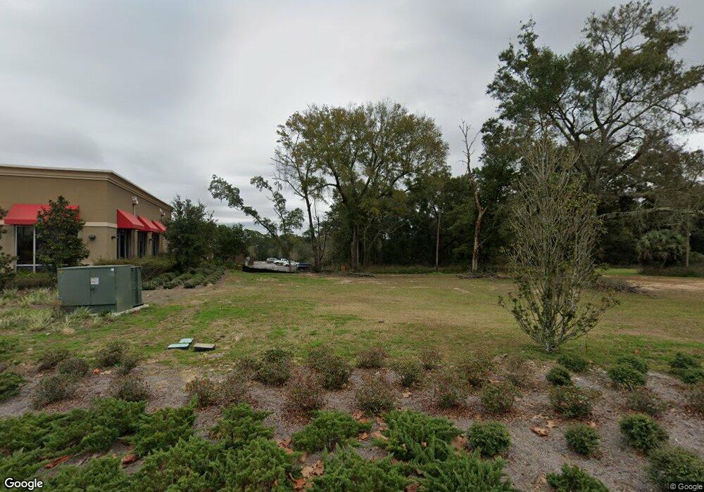
5800 N Davis Hwy Pensacola, FL 32503
Estimated Value: $840,000
--
Bed
2
Baths
2,564
Sq Ft
$328/Sq Ft
Est. Value
About This Home
This home is located at 5800 N Davis Hwy, Pensacola, FL 32503 and is currently estimated at $840,000, approximately $327 per square foot. 5800 N Davis Hwy is a home located in Escambia County with nearby schools including O.J. Semmes Elementary School, J.H. Workman Middle School, and Booker T. Washington High School.
Ownership History
Date
Name
Owned For
Owner Type
Purchase Details
Closed on
Jun 1, 2017
Bought by
Tac Pensacola Pool C Llc
Current Estimated Value
Purchase Details
Closed on
Jan 30, 2015
Sold by
Mo Airport Llc
Bought by
Nla Ug Pensacola Llc
Purchase Details
Closed on
Apr 24, 2012
Sold by
Barangan Virgilio C
Bought by
Mo Airport Llc
Home Financials for this Owner
Home Financials are based on the most recent Mortgage that was taken out on this home.
Original Mortgage
$760,000
Interest Rate
3.96%
Mortgage Type
Seller Take Back
Create a Home Valuation Report for This Property
The Home Valuation Report is an in-depth analysis detailing your home's value as well as a comparison with similar homes in the area
Home Values in the Area
Average Home Value in this Area
Purchase History
| Date | Buyer | Sale Price | Title Company |
|---|---|---|---|
| Tac Pensacola Pool C Llc | $3,631,100 | -- | |
| Nla Ug Pensacola Llc | $1,200,000 | Attorney | |
| Mo Airport Llc | $1,000,000 | Attorney |
Source: Public Records
Mortgage History
| Date | Status | Borrower | Loan Amount |
|---|---|---|---|
| Previous Owner | Mo Airport Llc | $760,000 |
Source: Public Records
Tax History Compared to Growth
Tax History
| Year | Tax Paid | Tax Assessment Tax Assessment Total Assessment is a certain percentage of the fair market value that is determined by local assessors to be the total taxable value of land and additions on the property. | Land | Improvement |
|---|---|---|---|---|
| 2024 | $4,002 | $237,249 | $235,858 | $1,391 |
| 2023 | $4,002 | $237,249 | $235,858 | $1,391 |
| 2022 | $4,034 | $237,249 | $235,858 | $1,391 |
| 2021 | $4,140 | $237,249 | $0 | $0 |
| 2020 | $4,086 | $237,249 | $0 | $0 |
| 2019 | $4,595 | $264,997 | $0 | $0 |
| 2018 | $4,670 | $264,997 | $0 | $0 |
| 2017 | $4,636 | $264,997 | $0 | $0 |
| 2016 | $5,343 | $314,240 | $0 | $0 |
| 2015 | $6,331 | $339,518 | $0 | $0 |
| 2014 | $8,599 | $457,660 | $0 | $0 |
Source: Public Records
Map
Nearby Homes
- 4929 Springhill Dr
- 4770 Skyline Dr
- 351 Springdale Cir
- 0000 Carpenter Creek Dr
- 4304 Bishop St
- 520 Selina St
- 773 Alpine Dr
- 867 Berkley Dr
- 1142 Ellison Dr
- 778 Ash Dr
- 4479 N 9th Ave
- 533 Ditmar St
- 812 Ash Dr
- 0 Creek Station Dr Unit 613738
- 4357 Acacia Dr
- 4241 Ellison Place
- 1008 Stormy Terrace
- 5001 Grande Dr Unit 1621
- 5001 Grande Dr Unit 812
- 5001 Grande Dr Unit 1422
- 4960 Springhill Dr
- 4966 Springhill Dr
- 4972 Springhill Dr
- 4954 Springhill Dr
- 4948 Springhill Dr
- 4976 Springhill Dr
- 4944 Springhill Dr
- 4980 Springhill Dr
- 4986 Springhill Dr
- 4938 Springhill Dr
- 4967 Springhill Dr
- 4957 Springhill Dr
- 4973 Springhill Dr
- 4949 Springhill Dr
- 4994 Springhill Dr
- 4936 Springhill Dr
- 4977 Springhill Dr
- 4943 Springhill Dr
- 5012 Springhill Dr
- 4939 Springhill Dr