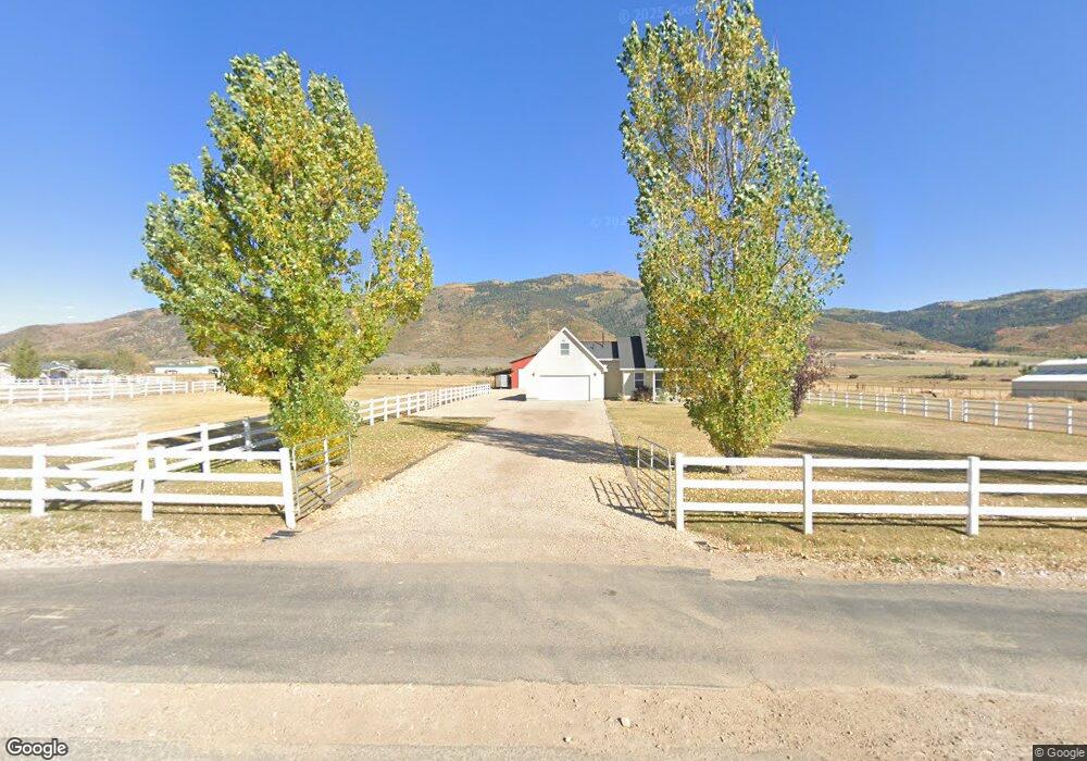
5800 N State Road 32 Peoa, UT 84061
Kamas Valley NeighborhoodEstimated Value: $1,121,000 - $2,261,000
--
Bed
3
Baths
1,816
Sq Ft
$1,009/Sq Ft
Est. Value
About This Home
This home is located at 5800 N State Road 32, Peoa, UT 84061 and is currently estimated at $1,832,538, approximately $1,009 per square foot. 5800 N State Road 32 is a home located in Summit County with nearby schools including South Summit Elementary School and South Summit High School.
Ownership History
Date
Name
Owned For
Owner Type
Purchase Details
Closed on
May 2, 2008
Sold by
Linford H G and Linford Sharlene N
Bought by
Linford Howard G and Linford Sharlene N
Current Estimated Value
Home Financials for this Owner
Home Financials are based on the most recent Mortgage that was taken out on this home.
Original Mortgage
$208,000
Interest Rate
5.88%
Mortgage Type
New Conventional
Create a Home Valuation Report for This Property
The Home Valuation Report is an in-depth analysis detailing your home's value as well as a comparison with similar homes in the area
Home Values in the Area
Average Home Value in this Area
Purchase History
| Date | Buyer | Sale Price | Title Company |
|---|---|---|---|
| Linford Howard G | -- | Cottonwood Title Ins Ag |
Source: Public Records
Mortgage History
| Date | Status | Borrower | Loan Amount |
|---|---|---|---|
| Closed | Linford Howard G | $208,000 |
Source: Public Records
Tax History Compared to Growth
Tax History
| Year | Tax Paid | Tax Assessment Tax Assessment Total Assessment is a certain percentage of the fair market value that is determined by local assessors to be the total taxable value of land and additions on the property. | Land | Improvement |
|---|---|---|---|---|
| 2024 | $2,567 | $439,086 | $167,535 | $271,551 |
| 2023 | $2,567 | $491,758 | $167,310 | $324,448 |
| 2022 | $2,010 | $336,376 | $93,063 | $243,313 |
| 2021 | $1,637 | $222,134 | $51,841 | $170,293 |
| 2020 | $1,498 | $189,680 | $51,841 | $137,839 |
| 2019 | $1,657 | $189,649 | $51,810 | $137,839 |
| 2018 | $1,378 | $164,954 | $43,342 | $121,612 |
| 2017 | $1,269 | $159,684 | $43,481 | $116,203 |
| 2016 | $1,258 | $148,684 | $32,481 | $116,203 |
| 2015 | $1,285 | $148,684 | $0 | $0 |
| 2013 | $1,338 | $143,275 | $0 | $0 |
Source: Public Records
Map
Nearby Homes
- 5685 N State Road 32
- 5661 N State Road 32
- 1788 W Farmhouse Flats Rd
- 1788 W Farmhouse Flats Rd Unit 5
- 2640 W State Road 32
- 2575 W State Road 32
- 6117 N Rocky Ridge Rd
- 6117 Rocky Ridge Rd
- 7795 Browns Canyon Rd
- 6950 N River Valley Dr
- 7050 N River Valley Dr
- 7795 Browns Rd
- 6325 N Elk Ridge Rd Unit 5
- 5167 Rodeo Cir
- 5167 Rodeo Cir Unit 6
- 5402 N 750 W
- 919 River Haven Rd Unit 114
- 972 River Haven Rd Unit 101
- 949 River Haven Rd S Unit 115
- 1400 E Weber Wild Rd
- 5769 Utah 32
- 5769 N State Road 32
- 5769 N State Road 32 Unit 32
- 5790 N State Road 32
- 5742 N State Rd
- 5736 N State Road 32
- 5830 N State Road 32
- 5736 N State Rd
- 5750 N State Road 32
- 5739 N State Road 32
- 5880 N State Road 32
- 5685 Utah 32
- 5619 N Highway 189
- 5674 N State Road 32
- 5910 N State Road 32
- 5661 N State Road 32 Unit 32
- 5660 Utah 32
- 5660 N State Road 32
- 5651 N State Road 32
- 5651 Utah 32