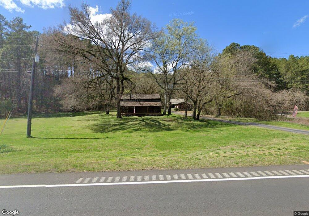
5802 Cedartown Hwy SW Lindale, GA 30147
Estimated Value: $332,000 - $579,000
--
Bed
--
Bath
1,406
Sq Ft
$321/Sq Ft
Est. Value
About This Home
This home is located at 5802 Cedartown Hwy SW, Lindale, GA 30147 and is currently estimated at $451,394, approximately $321 per square foot. 5802 Cedartown Hwy SW is a home located in Floyd County with nearby schools including Pepperell Middle School and Pepperell High School.
Ownership History
Date
Name
Owned For
Owner Type
Purchase Details
Closed on
May 31, 2003
Sold by
Wallace Willard C and Marylin Wallace
Bought by
Comer Ronald and Jocelyn Comer
Current Estimated Value
Purchase Details
Closed on
Feb 27, 1984
Sold by
Reynolds Catherine J
Bought by
Wallace Willard C and Marylin Wallace
Purchase Details
Closed on
Oct 11, 1968
Sold by
Dixon T J
Bought by
Reynolds Catherine J
Purchase Details
Closed on
Jan 1, 1944
Bought by
Dixon T J
Create a Home Valuation Report for This Property
The Home Valuation Report is an in-depth analysis detailing your home's value as well as a comparison with similar homes in the area
Home Values in the Area
Average Home Value in this Area
Purchase History
| Date | Buyer | Sale Price | Title Company |
|---|---|---|---|
| Comer Ronald | -- | -- | |
| Wallace Willard C | $19,500 | -- | |
| Reynolds Catherine J | $3,500 | -- | |
| Dixon T J | -- | -- |
Source: Public Records
Tax History Compared to Growth
Tax History
| Year | Tax Paid | Tax Assessment Tax Assessment Total Assessment is a certain percentage of the fair market value that is determined by local assessors to be the total taxable value of land and additions on the property. | Land | Improvement |
|---|---|---|---|---|
| 2024 | $3,843 | $189,382 | $35,582 | $153,800 |
| 2023 | $3,781 | $181,872 | $32,348 | $149,524 |
| 2022 | $3,524 | $170,046 | $26,789 | $143,257 |
| 2021 | $2,857 | $130,963 | $24,593 | $106,370 |
| 2020 | $2,724 | $123,495 | $21,386 | $102,109 |
| 2019 | $2,603 | $119,065 | $21,386 | $97,679 |
| 2018 | $2,498 | $113,449 | $20,371 | $93,078 |
| 2017 | $2,365 | $106,522 | $18,862 | $87,660 |
| 2016 | $2,920 | $98,867 | $18,840 | $80,027 |
| 2015 | $2,857 | $98,867 | $18,840 | $80,027 |
| 2014 | $2,857 | $98,867 | $18,840 | $80,027 |
Source: Public Records
Map
Nearby Homes
- 0 Booger Hollow Rd
- 1250 Adams Rd
- 34 + - Acres On Pullen Rd
- 0 Pullen Rd SE Unit LotWP003 24764379
- 0 Booger Hollow Rd SW Unit 17969096
- 110 Mulberry Ln
- 120 Mulberry Ln
- 0 Collins Rd Unit 10627302
- 900 Chubb Rd
- TRACT4 Drummond Rd
- Tract2 Drummond Rd
- 1114 Lake Creek Rd
- 31 Meadow Lakes Terrace
- 113 Cherokee Estates Dr
- 0 Colquitt Rd Unit 25175705
- 0 Colquitt Rd Unit 10623944
- 0 Colquitt Rd Unit 7661475
- 255 Meadow Lakes Blvd
- 88 Sequoyah Ct
- 573 Relay Rd SE
- 5820 Cedartown Hwy SW
- 0 Doyle Rd Unit 7039706
- 0 Doyle Rd Unit 7593633
- 0 Doyle Rd Unit 5100808
- 0 Doyle Rd Unit 5651083
- 0 Doyle Rd Unit 20156398
- 5789 Cedartown Hwy SE
- 5854 Cedartown Hwy SW
- 27 Doyle Rd SE
- 5789 Hwy 27 SE
- 5866 Rome Hwy SW
- 10 Doyle Rd
- 5700 Cedartown Hwy SW
- 61 Doyle Rd SE
- 68 Doyle Rd SE
- 50 Doyle Rd SE
- 5934 Cedartown Hwy SW
- 102 Doyle Rd SE
- 133 Doyle Rd SE
- 126 Doyle Rd SE