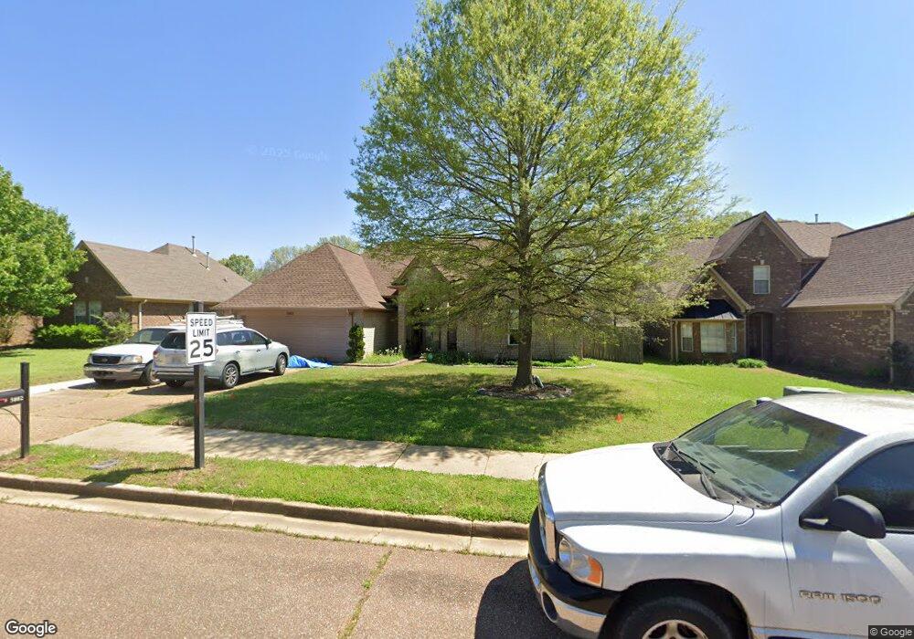
5802 Stonewall Dr Olive Branch, MS 38654
Estimated Value: $278,000 - $300,016
3
Beds
2
Baths
1,850
Sq Ft
$155/Sq Ft
Est. Value
About This Home
This home is located at 5802 Stonewall Dr, Olive Branch, MS 38654 and is currently estimated at $286,754, approximately $155 per square foot. 5802 Stonewall Dr is a home located in DeSoto County with nearby schools including Chickasaw Elementary School, Olive Branch Middle School, and Olive Branch High School.
Ownership History
Date
Name
Owned For
Owner Type
Purchase Details
Closed on
Feb 23, 2006
Sold by
Little E K and Little Robbie F
Bought by
Beene Jackie R and Beena Donna T
Current Estimated Value
Home Financials for this Owner
Home Financials are based on the most recent Mortgage that was taken out on this home.
Original Mortgage
$35,960
Interest Rate
6.05%
Mortgage Type
Stand Alone Second
Create a Home Valuation Report for This Property
The Home Valuation Report is an in-depth analysis detailing your home's value as well as a comparison with similar homes in the area
Home Values in the Area
Average Home Value in this Area
Purchase History
| Date | Buyer | Sale Price | Title Company |
|---|---|---|---|
| Beene Jackie R | -- | None Available |
Source: Public Records
Mortgage History
| Date | Status | Borrower | Loan Amount |
|---|---|---|---|
| Closed | Beene Jackie R | $35,960 | |
| Open | Beene Jackie R | $143,840 |
Source: Public Records
Tax History Compared to Growth
Tax History
| Year | Tax Paid | Tax Assessment Tax Assessment Total Assessment is a certain percentage of the fair market value that is determined by local assessors to be the total taxable value of land and additions on the property. | Land | Improvement |
|---|---|---|---|---|
| 2025 | $2,883 | $21,122 | $3,500 | $17,622 |
| 2024 | $1,835 | $15,645 | $3,500 | $12,145 |
| 2023 | $1,835 | $15,645 | $0 | $0 |
| 2022 | $1,835 | $15,645 | $3,500 | $12,145 |
| 2021 | $1,835 | $15,645 | $3,500 | $12,145 |
| 2020 | $1,703 | $14,674 | $3,500 | $11,174 |
| 2019 | $1,703 | $14,674 | $3,500 | $11,174 |
| 2017 | $1,669 | $25,202 | $14,351 | $10,851 |
| 2016 | $1,669 | $14,350 | $3,500 | $10,850 |
| 2015 | $1,969 | $25,200 | $14,350 | $10,850 |
| 2014 | $1,669 | $14,350 | $0 | $0 |
| 2013 | $1,657 | $14,350 | $0 | $0 |
Source: Public Records
Map
Nearby Homes
- 5841 Blocker St
- 2914 Cypress Lake Dr S
- 5806 Southbend Ln
- 5295 Blocker St
- 9821 Morgan Manor Dr
- 6180 Rd
- 6032 Robby Cove
- 9113 Rue Orleans Ln
- 9930 Sequoia Ln
- 9893 Cherokee Dr
- 9811 Cherokee Dr
- 9598 Nielsen Dr
- 5427 Highway 305 N
- 9800 Cherokee Dr
- 0 Hacks Rd Unit 4132565
- 6748 Cockrum Rd
- 7550 Old Highway 78
- 8754 Ln
- 0 Mid Dr S Unit 4100819
- 9270 College St
- 5816 Stonewall Dr
- 5788 Stonewall Dr
- 9450 Stone Point Dr
- 5830 Stonewall Dr
- 5781 W Stonewall
- 9437 Stone Point Dr
- 5809 Stonewall Dr
- 5795 Stonewall Dr
- 9456 Stone Point Dr
- 5844 Stonewall Dr
- 5823 Stonewall Dr
- 9456 Stone St
- 9423 Stone Point Dr
- 5781 Stonewall Dr
- 9462 Stone St
- 5837 Stonewall Dr
- 9462 Stone Point Dr
- 9409 Stone Point Dr
- 5858 Stonewall Dr
- 9395 Stone Point Dr