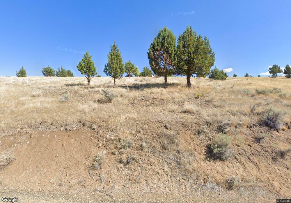
58048 Antelope Ln John Day, OR 97845
Estimated Value: $378,000 - $422,091
3
Beds
2
Baths
1,714
Sq Ft
$233/Sq Ft
Est. Value
About This Home
This home is located at 58048 Antelope Ln, John Day, OR 97845 and is currently estimated at $399,273, approximately $232 per square foot. 58048 Antelope Ln is a home located in Grant County with nearby schools including Grant Union Junior/Senior High School.
Ownership History
Date
Name
Owned For
Owner Type
Purchase Details
Closed on
Nov 20, 2019
Sold by
Shelnutt Kay
Bought by
Bigsby Jessica Elizabeth
Current Estimated Value
Home Financials for this Owner
Home Financials are based on the most recent Mortgage that was taken out on this home.
Original Mortgage
$232,798
Outstanding Balance
$203,943
Interest Rate
3.5%
Mortgage Type
New Conventional
Estimated Equity
$195,330
Purchase Details
Closed on
Jan 11, 2013
Sold by
Authier Robert J and Authier Joyce J
Bought by
Shelnutt Kay
Home Financials for this Owner
Home Financials are based on the most recent Mortgage that was taken out on this home.
Original Mortgage
$181,649
Interest Rate
3.25%
Mortgage Type
FHA
Create a Home Valuation Report for This Property
The Home Valuation Report is an in-depth analysis detailing your home's value as well as a comparison with similar homes in the area
Home Values in the Area
Average Home Value in this Area
Purchase History
| Date | Buyer | Sale Price | Title Company |
|---|---|---|---|
| Bigsby Jessica Elizabeth | $245,050 | None Available | |
| Shelnutt Kay | $185,000 | Land Title Company Of Grant | |
| Shelnutt Kay | $185,000 | Land Title Company Of Grant |
Source: Public Records
Mortgage History
| Date | Status | Borrower | Loan Amount |
|---|---|---|---|
| Open | Bigsby Jessica Elizabeth | $232,798 | |
| Previous Owner | Shelnutt Kay | $181,649 |
Source: Public Records
Tax History Compared to Growth
Tax History
| Year | Tax Paid | Tax Assessment Tax Assessment Total Assessment is a certain percentage of the fair market value that is determined by local assessors to be the total taxable value of land and additions on the property. | Land | Improvement |
|---|---|---|---|---|
| 2024 | $3,159 | $245,123 | $84,875 | $160,248 |
| 2023 | $3,099 | $237,984 | $82,406 | $155,578 |
| 2022 | $3,013 | $231,053 | $64,028 | $167,025 |
| 2021 | $2,920 | $224,324 | $62,168 | $162,156 |
| 2020 | $3,107 | $217,791 | $60,352 | $157,439 |
| 2019 | $3,032 | $211,448 | $58,596 | $152,852 |
| 2018 | $2,931 | $205,290 | $56,890 | $148,400 |
| 2017 | $2,831 | $199,311 | $55,234 | $144,077 |
| 2016 | $2,748 | $193,506 | $65,558 | $127,948 |
| 2015 | $2,644 | $182,399 | $61,799 | $120,600 |
| 2014 | $2,644 | $182,399 | $61,799 | $120,600 |
| 2013 | $2,464 | $177,087 | $58,768 | $118,319 |
Source: Public Records
Map
Nearby Homes
- 58392 Antelope Ln
- 59720 Highway 26
- 59920 Highway 26
- 59920 Hwy 26
- 809 Ingle St
- 251 SE Council Dr
- 210 Mountain Blvd
- 54797 U S Highway 26
- 410 N Mountain Blvd
- 440 N Mountain Blvd
- 27637 La Costa Rd
- 27637 La Costa Ave
- 0 Hwy 395 Unit 220203788
- 0 Hwy 395 Unit 603386933
- 59591 High Ridge Ln
- 0 Industrial Park Rd Unit 24388826
- 0 Industrial Park Rd Unit 24404920
- 0 Industrial Park Rd Unit 220186207
- 0 Industrial Park Rd Unit 220186217
- 0 Industrial Park Rd Unit 220186224
- 58045 Antelope Ln
- 58048 Antelope Ln
- 900 Antelope Ln
- 57952 Antelope Ln
- 57952 Antelope Ln
- 57946 Antelope Ln
- 57953 Antelope Ln
- 0 Antelope Ln Unit 201507071
- 0 Antelope Ln Unit 9063163
- 0 Antelope Ln Unit 15331331
- 0 Antelope Ln Unit TL200 21392435
- 58206 Antelope Ln
- 57767 Antelope Ln
- 58448 Antelope Ln
- 57580 Antelope Ln
- 57765 Antelope Ln
- 58448 Antelope Ln
- 0 Laycock Rd Unit 2609103
- 0 Laycock Rd Unit 2608629
- 0 Laycock Rd Unit 2608627
