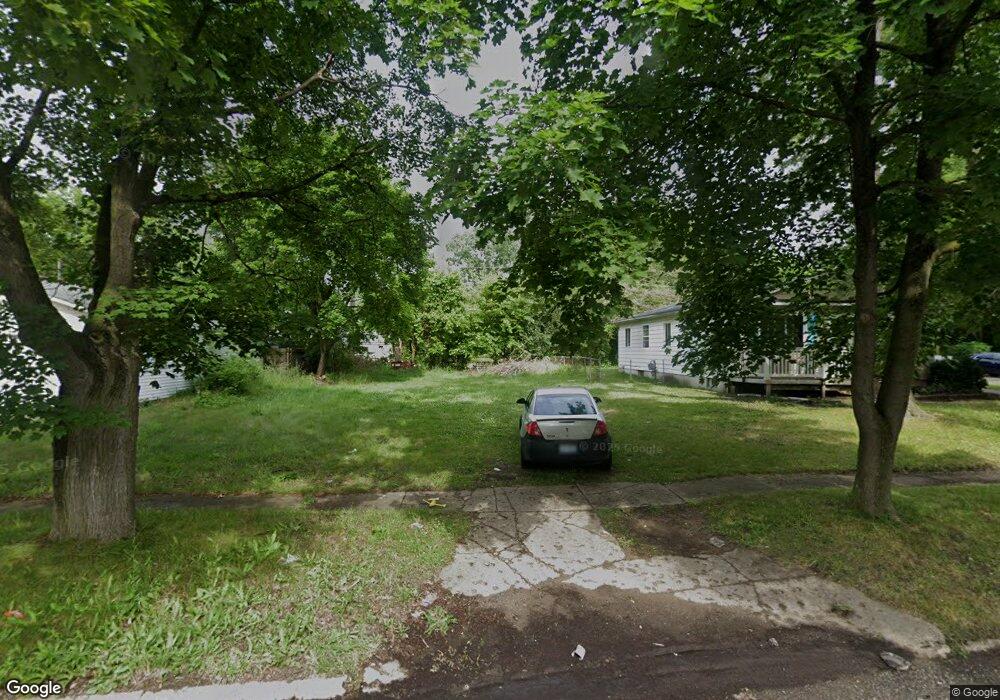
5808 Western Rd Flint, MI 48506
Northeast Flint NeighborhoodEstimated Value: $57,476 - $220,000
3
Beds
2
Baths
1,082
Sq Ft
$107/Sq Ft
Est. Value
About This Home
This home is located at 5808 Western Rd, Flint, MI 48506 and is currently estimated at $115,492, approximately $106 per square foot. 5808 Western Rd is a home located in Genesee County with nearby schools including Brownell STEM Academy, Richfield Public School Academy, and Richfield Early Learning Center.
Ownership History
Date
Name
Owned For
Owner Type
Purchase Details
Closed on
Dec 20, 2012
Sold by
Cherry Deborah L
Bought by
Genesee County Land Bank
Current Estimated Value
Purchase Details
Closed on
Oct 24, 2005
Sold by
Sherman Tina R and Sherman Allan L
Bought by
Sherman Tina R and Sherman Karen A
Purchase Details
Closed on
Oct 22, 2002
Sold by
Link R Dale and Link Lianne P
Bought by
Sherman Allan and Sherman Tina R
Create a Home Valuation Report for This Property
The Home Valuation Report is an in-depth analysis detailing your home's value as well as a comparison with similar homes in the area
Home Values in the Area
Average Home Value in this Area
Purchase History
| Date | Buyer | Sale Price | Title Company |
|---|---|---|---|
| Genesee County Land Bank | -- | None Available | |
| Sherman Tina R | -- | Metropolitan Title Company | |
| Sherman Allan | $45,000 | Metropolitan Title Company |
Source: Public Records
Tax History
| Year | Tax Paid | Tax Assessment Tax Assessment Total Assessment is a certain percentage of the fair market value that is determined by local assessors to be the total taxable value of land and additions on the property. | Land | Improvement |
|---|---|---|---|---|
| 2025 | -- | $0 | $0 | $0 |
| 2024 | -- | $0 | $0 | $0 |
| 2023 | -- | $0 | $0 | $0 |
| 2022 | $0 | $0 | $0 | $0 |
| 2021 | $0 | $0 | $0 | $0 |
| 2020 | $0 | $0 | $0 | $0 |
| 2019 | $0 | $0 | $0 | $0 |
| 2018 | $0 | $0 | $0 | $0 |
| 2017 | $0 | $0 | $0 | $0 |
| 2016 | $0 | $0 | $0 | $0 |
| 2015 | -- | $0 | $0 | $0 |
| 2014 | -- | $0 | $0 | $0 |
| 2012 | -- | $11,200 | $0 | $0 |
Source: Public Records
Map
Nearby Homes
- 5919 Western Rd
- 2919 Hampstead Dr
- 2727 Eaton Place
- 2825 Eaton Place
- 4907 Delta Dr
- 4923 Alpha Way
- 4808 Alpha Way
- 1704 E Webster Rd
- 3364 E Pierson Rd
- 5910 N Dort Hwy
- 3456 E Pierson Rd
- 4298 N Center Rd
- 3294 Huggins Ave
- 4081 Hidden View Dr
- 2935 Richfield Rd
- 4141 Hidden View Dr
- 00 Richfield Rd
- 1218 E Piper Ave
- 3006 Agree Ave
- E E Carpenter Rd
- 5802 Western Rd
- 2802 Margate Cir
- 2808 Margate Cir
- 2814 Margate Cir
- 5807 Western Rd
- 5813 Western Rd
- 2820 Margate Cir
- 2802 Windcliff Trail
- 5801 Western Rd
- 2826 Margate Cir
- 2801 Margate Cir
- 5725 Western Rd
- 5901 Western Rd
- 2807 Margate Cir
- 2832 Margate Cir
- 5719 Western Rd
- 2813 Margate Cir
- 5907 Western Rd
- 5914 Western Rd
- 2819 Margate Cir
Your Personal Tour Guide
Ask me questions while you tour the home.