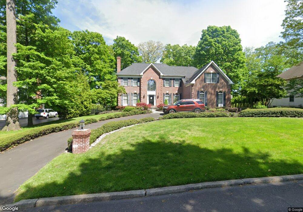
581 Beverly Rd Southampton, PA 18966
Estimated Value: $896,000 - $1,089,000
4
Beds
3
Baths
4,135
Sq Ft
$238/Sq Ft
Est. Value
About This Home
This home is located at 581 Beverly Rd, Southampton, PA 18966 and is currently estimated at $983,379, approximately $237 per square foot. 581 Beverly Rd is a home located in Bucks County with nearby schools including Holland Elementary School, Holland Middle School, and Council Rock High School - South.
Ownership History
Date
Name
Owned For
Owner Type
Purchase Details
Closed on
Jul 8, 2002
Sold by
Cendant Mobility Financial Corp
Bought by
Mctigue Michael and Mctigue Diane
Current Estimated Value
Home Financials for this Owner
Home Financials are based on the most recent Mortgage that was taken out on this home.
Original Mortgage
$452,000
Outstanding Balance
$189,844
Interest Rate
6.58%
Estimated Equity
$793,535
Purchase Details
Closed on
Aug 15, 2000
Sold by
Malecki Edward S
Bought by
Connolly Timothy J and Mccrystal Annmarie
Home Financials for this Owner
Home Financials are based on the most recent Mortgage that was taken out on this home.
Original Mortgage
$329,000
Interest Rate
8.13%
Create a Home Valuation Report for This Property
The Home Valuation Report is an in-depth analysis detailing your home's value as well as a comparison with similar homes in the area
Home Values in the Area
Average Home Value in this Area
Purchase History
| Date | Buyer | Sale Price | Title Company |
|---|---|---|---|
| Mctigue Michael | $565,000 | -- | |
| Cendant Mobility Financial Corp | $565,000 | -- | |
| Connolly Timothy J | $470,000 | -- |
Source: Public Records
Mortgage History
| Date | Status | Borrower | Loan Amount |
|---|---|---|---|
| Open | Mctigue Michael | $452,000 | |
| Previous Owner | Connolly Timothy J | $329,000 | |
| Closed | Mctigue Michael | $84,750 |
Source: Public Records
Tax History Compared to Growth
Tax History
| Year | Tax Paid | Tax Assessment Tax Assessment Total Assessment is a certain percentage of the fair market value that is determined by local assessors to be the total taxable value of land and additions on the property. | Land | Improvement |
|---|---|---|---|---|
| 2025 | $10,794 | $56,040 | $7,800 | $48,240 |
| 2024 | $10,794 | $56,040 | $7,800 | $48,240 |
| 2023 | $10,173 | $56,040 | $7,800 | $48,240 |
| 2022 | $10,080 | $56,040 | $7,800 | $48,240 |
| 2021 | $9,761 | $56,040 | $7,800 | $48,240 |
| 2020 | $9,541 | $56,040 | $7,800 | $48,240 |
| 2019 | $9,133 | $56,040 | $7,800 | $48,240 |
| 2018 | $8,970 | $56,040 | $7,800 | $48,240 |
| 2017 | $8,624 | $56,040 | $7,800 | $48,240 |
| 2016 | $8,624 | $56,040 | $7,800 | $48,240 |
| 2015 | -- | $56,040 | $7,800 | $48,240 |
| 2014 | -- | $56,040 | $7,800 | $48,240 |
Source: Public Records
Map
Nearby Homes
- 258 Woodlake Dr
- 270 Rocksville Rd
- 41 Grant Dr
- 6 Rolling Hills Dr
- 65 Witherington Dr
- 537 Ashton Cir
- 29 Langhorne Ave
- 1 Falcon Dr Unit 203
- 18 Prince Cir
- 2 Falcon Dr Unit 202
- 6 Windy Knoll Dr
- 415 Fox Hollow Dr
- 518 Pebble Ridge Ct
- 428 Fox Hollow Dr
- 98 Twigkenham Dr
- 27 Rocking Horse Way
- 125 Fox Hollow Dr
- 14 Churchville Ln
- 7 Bennett Place
- 10 Churchville Ln
- 585 Beverly Rd
- 202 Crescent Dr
- 178 Mallard Rd
- 589 Beverly Rd
- 186 Mallard Rd
- 168 Mallard Rd
- 578 Beverly Rd
- 194 Mallard Rd
- 586 Beverly Rd
- 590 Beverly Rd
- 202 Mallard Rd
- 593 Beverly Rd
- 598 Beverly Rd
- 210 Mallard Rd
- 175 Mallard Rd
- 183 Mallard Rd
- 191 Mallard Rd
- 162 Crescent Dr
- 140 Mallard Rd
- 605 Beverly Rd