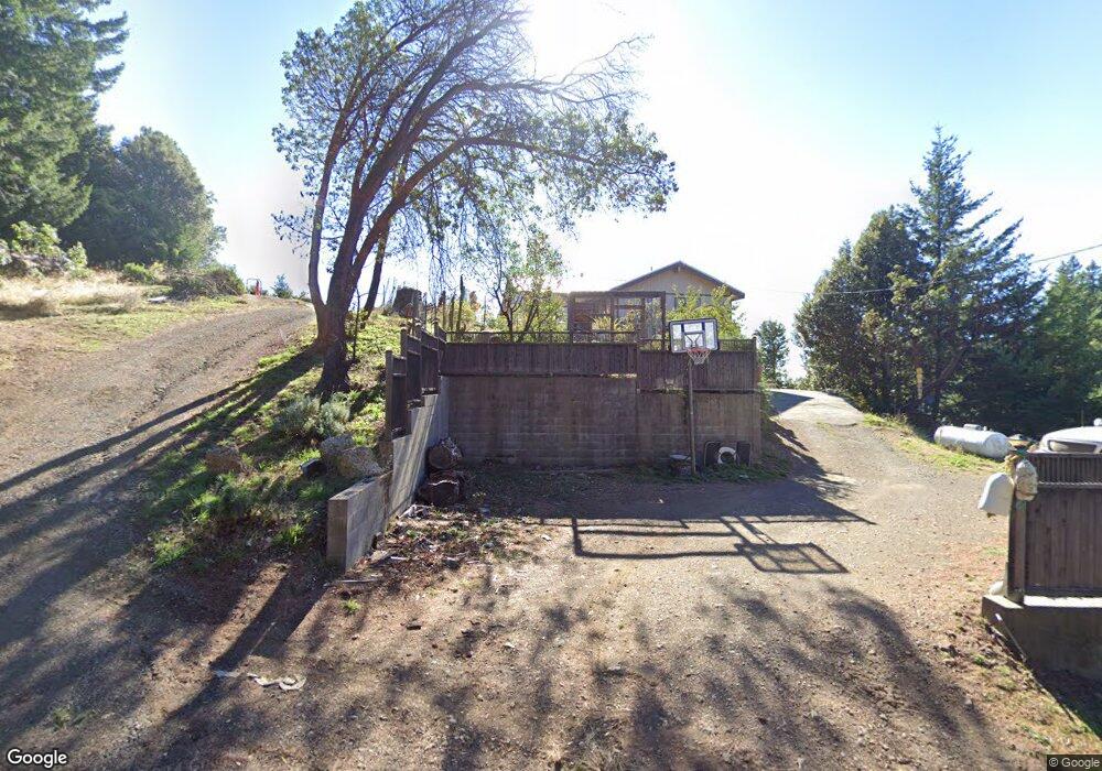
581 Toth Rd Whitethorn, CA 95589
Shelter Cove NeighborhoodEstimated Value: $410,000 - $495,000
--
Bed
--
Bath
--
Sq Ft
0.28
Acres
About This Home
This home is located at 581 Toth Rd, Whitethorn, CA 95589 and is currently estimated at $457,771. 581 Toth Rd is a home located in Humboldt County.
Ownership History
Date
Name
Owned For
Owner Type
Purchase Details
Closed on
Apr 19, 2006
Sold by
Reid Arlin R and Reid Denise
Bought by
Reid Arlin R and Reid Denise
Current Estimated Value
Home Financials for this Owner
Home Financials are based on the most recent Mortgage that was taken out on this home.
Original Mortgage
$400,000
Outstanding Balance
$244,155
Interest Rate
7.46%
Mortgage Type
Fannie Mae Freddie Mac
Estimated Equity
$213,616
Purchase Details
Closed on
Mar 14, 2005
Sold by
Wallace Steven A
Bought by
Reid Arlin R and Reid Denise M
Home Financials for this Owner
Home Financials are based on the most recent Mortgage that was taken out on this home.
Original Mortgage
$330,000
Interest Rate
7.99%
Mortgage Type
Purchase Money Mortgage
Create a Home Valuation Report for This Property
The Home Valuation Report is an in-depth analysis detailing your home's value as well as a comparison with similar homes in the area
Home Values in the Area
Average Home Value in this Area
Purchase History
| Date | Buyer | Sale Price | Title Company |
|---|---|---|---|
| Reid Arlin R | -- | First American Title Co | |
| Reid Arlin R | $350,000 | Fidelity National Title Co |
Source: Public Records
Mortgage History
| Date | Status | Borrower | Loan Amount |
|---|---|---|---|
| Open | Reid Arlin R | $400,000 | |
| Closed | Reid Arlin R | $330,000 |
Source: Public Records
Tax History Compared to Growth
Tax History
| Year | Tax Paid | Tax Assessment Tax Assessment Total Assessment is a certain percentage of the fair market value that is determined by local assessors to be the total taxable value of land and additions on the property. | Land | Improvement |
|---|---|---|---|---|
| 2025 | $5,373 | $487,851 | $111,502 | $376,349 |
| 2024 | $5,373 | $478,286 | $109,316 | $368,970 |
| 2023 | $5,392 | $468,909 | $107,173 | $361,736 |
| 2022 | $5,310 | $459,716 | $105,072 | $354,644 |
| 2021 | $5,113 | $450,703 | $103,012 | $347,691 |
| 2020 | $5,142 | $446,082 | $101,956 | $344,126 |
| 2019 | $5,016 | $437,336 | $99,957 | $337,379 |
| 2018 | $4,931 | $428,762 | $97,998 | $330,764 |
| 2017 | $4,740 | $420,356 | $96,077 | $324,279 |
| 2016 | $4,711 | $412,115 | $94,194 | $317,921 |
| 2015 | $4,686 | $405,926 | $92,780 | $313,146 |
| 2014 | $4,410 | $397,975 | $90,963 | $307,012 |
Source: Public Records
Map
Nearby Homes