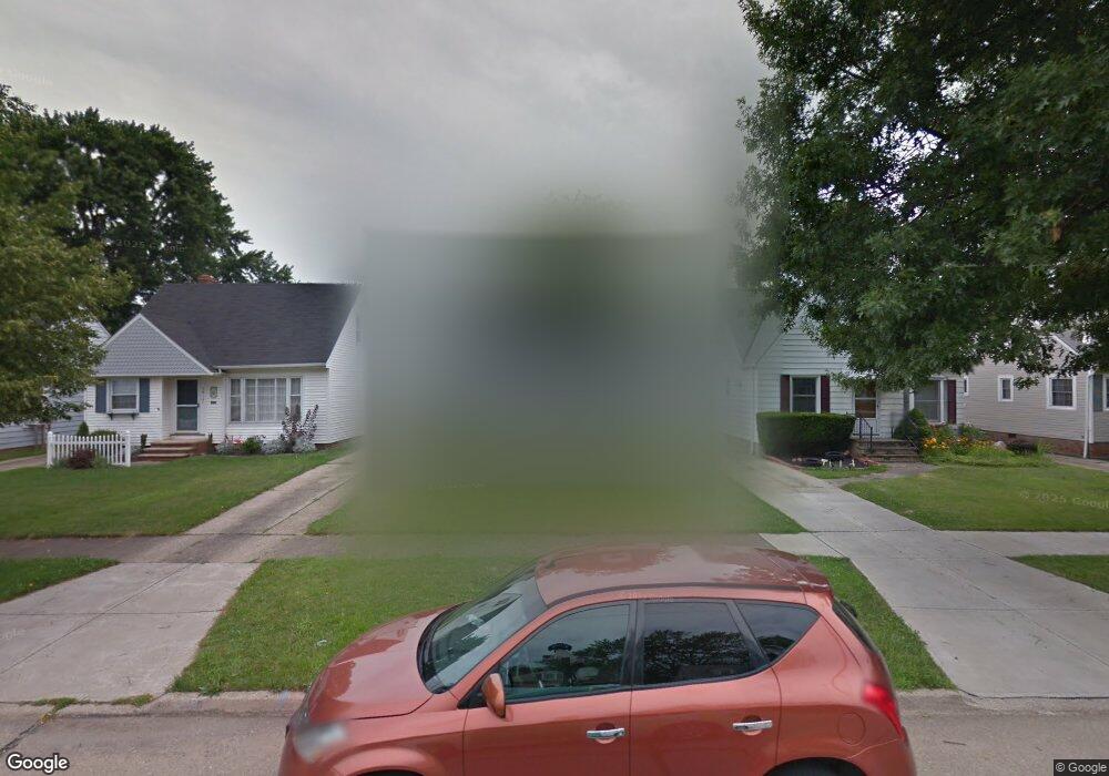
5810 Allanwood Dr Cleveland, OH 44129
Estimated Value: $189,014 - $209,000
3
Beds
1
Bath
1,092
Sq Ft
$182/Sq Ft
Est. Value
About This Home
This home is located at 5810 Allanwood Dr, Cleveland, OH 44129 and is currently estimated at $198,254, approximately $181 per square foot. 5810 Allanwood Dr is a home located in Cuyahoga County with nearby schools including Renwood Elementary School, Thoreau Park Elementary School, and Shiloh Middle School.
Ownership History
Date
Name
Owned For
Owner Type
Purchase Details
Closed on
Dec 28, 2011
Sold by
Gerlach Kathleen and Gerlach Edward Elroy
Bought by
Anderson Ii Dale A and Anderson Camille L
Current Estimated Value
Purchase Details
Closed on
Jan 11, 2011
Sold by
Estate Of Josephine B Makosky
Bought by
Makosky Edward A and Gerlach Kathleen
Purchase Details
Closed on
Jul 24, 2006
Sold by
Makosky Edward
Bought by
Gerlach Kathleen
Purchase Details
Closed on
Mar 22, 2002
Sold by
Gerlach Kathleen and Makosky Edward
Bought by
Gerlach Kathleen and Makosky Edward
Purchase Details
Closed on
Aug 27, 1985
Sold by
Makosky Edward A and Makosky Josephine
Bought by
Makosky Josephine Bernice
Purchase Details
Closed on
Jan 1, 1975
Bought by
Makosky Edward A and Makosky Josephine
Create a Home Valuation Report for This Property
The Home Valuation Report is an in-depth analysis detailing your home's value as well as a comparison with similar homes in the area
Home Values in the Area
Average Home Value in this Area
Purchase History
| Date | Buyer | Sale Price | Title Company |
|---|---|---|---|
| Anderson Ii Dale A | $25,000 | Land Title Group | |
| Makosky Edward A | -- | Land Title Group | |
| Gerlach Kathleen | $48,150 | Attorney | |
| Gerlach Kathleen | -- | -- | |
| Makosky Josephine Bernice | -- | -- | |
| Makosky Edward A | -- | -- |
Source: Public Records
Tax History Compared to Growth
Tax History
| Year | Tax Paid | Tax Assessment Tax Assessment Total Assessment is a certain percentage of the fair market value that is determined by local assessors to be the total taxable value of land and additions on the property. | Land | Improvement |
|---|---|---|---|---|
| 2024 | $3,295 | $52,535 | $10,710 | $41,825 |
| 2023 | $2,887 | $39,450 | $9,450 | $30,000 |
| 2022 | $2,860 | $39,450 | $9,450 | $30,000 |
| 2021 | $2,944 | $39,450 | $9,450 | $30,000 |
| 2020 | $2,579 | $30,350 | $7,280 | $23,070 |
| 2019 | $2,469 | $86,700 | $20,800 | $65,900 |
| 2018 | $2,331 | $30,350 | $7,280 | $23,070 |
| 2017 | $2,340 | $26,600 | $5,670 | $20,930 |
| 2016 | $2,326 | $26,600 | $5,670 | $20,930 |
| 2015 | $2,213 | $26,600 | $5,670 | $20,930 |
| 2014 | $2,213 | $27,130 | $5,780 | $21,350 |
Source: Public Records
Map
Nearby Homes
- 5603 Allanwood Dr
- 5815 Wilber Ave
- 6708 Thornton Dr
- 6704 Charles Ave
- 6610 Renwood Dr
- 6021 Snow Rd
- 6818 Hampstead Ave
- 6706 Alber Ave
- 7014 Thornton Dr
- 5415 Pelham Dr
- 6903 Alber Ave
- 6096 Wareham Dr
- 7115 Hampstead Ave
- 6189 W 54th St
- 6406 Sunderland Dr
- 6111 Manchester Rd
- 4710 Maplecrest Ave
- 6403 Kenneth Ave
- 5205 Woodrow Ave
- 4802 Grantwood Dr
- 5806 Allanwood Dr
- 5802 Allanwood Dr
- 5714 Allanwood Dr
- 5906 Allanwood Dr
- 5811 Morningside Dr
- 5815 Morningside Dr
- 5807 Morningside Dr
- 5903 Morningside Dr
- 5910 Allanwood Dr
- 5710 Allanwood Dr
- 5907 Morningside Dr
- 5715 Morningside Dr
- 5811 Allanwood Dr
- 5807 Allanwood Dr
- 5815 Allanwood Dr
- 5706 Allanwood Dr
- 5911 Morningside Dr
- 5711 Morningside Dr
- 5803 Allanwood Dr
- 5903 Allanwood Dr