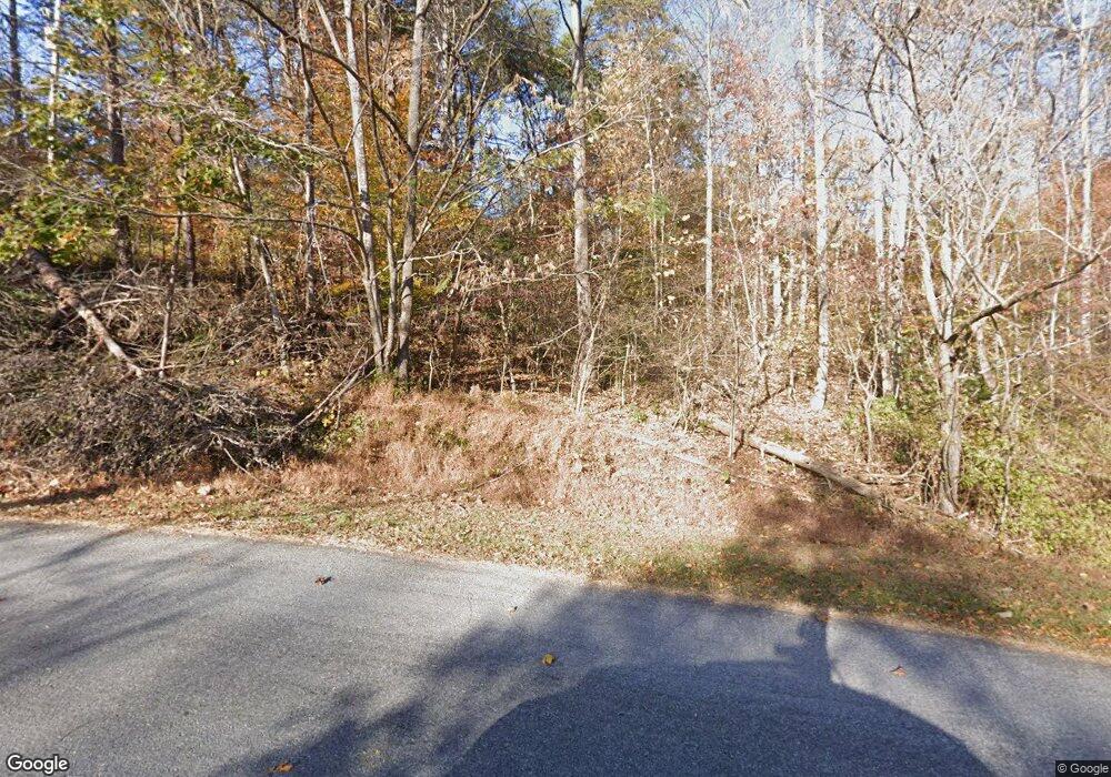
5810 Saunders Rd Vinton, VA 24179
Estimated Value: $470,000 - $717,000
3
Beds
2
Baths
2,744
Sq Ft
$215/Sq Ft
Est. Value
About This Home
This home is located at 5810 Saunders Rd, Vinton, VA 24179 and is currently estimated at $589,339, approximately $214 per square foot. 5810 Saunders Rd is a home located in Bedford County with nearby schools including Stewartsville Elementary School, Staunton River Middle School, and Staunton River High School.
Ownership History
Date
Name
Owned For
Owner Type
Purchase Details
Closed on
Jul 12, 2007
Sold by
Sales Patricia A
Bought by
Amburgey Tandy G and Amburgey Carol L
Current Estimated Value
Home Financials for this Owner
Home Financials are based on the most recent Mortgage that was taken out on this home.
Original Mortgage
$320,000
Outstanding Balance
$202,401
Interest Rate
6.73%
Mortgage Type
New Conventional
Estimated Equity
$386,938
Create a Home Valuation Report for This Property
The Home Valuation Report is an in-depth analysis detailing your home's value as well as a comparison with similar homes in the area
Purchase History
| Date | Buyer | Sale Price | Title Company |
|---|---|---|---|
| Amburgey Tandy G | $400,000 | First American Title Ins Co |
Source: Public Records
Mortgage History
| Date | Status | Borrower | Loan Amount |
|---|---|---|---|
| Open | Amburgey Tandy G | $320,000 |
Source: Public Records
Tax History Compared to Growth
Tax History
| Year | Tax Paid | Tax Assessment Tax Assessment Total Assessment is a certain percentage of the fair market value that is determined by local assessors to be the total taxable value of land and additions on the property. | Land | Improvement |
|---|---|---|---|---|
| 2025 | $1,954 | $476,600 | $120,000 | $356,600 |
| 2024 | $1,954 | $476,600 | $120,000 | $356,600 |
| 2023 | $1,954 | $238,300 | $0 | $0 |
| 2022 | $1,744 | $174,400 | $0 | $0 |
| 2021 | $1,744 | $348,800 | $101,000 | $247,800 |
| 2020 | $1,744 | $348,800 | $101,000 | $247,800 |
| 2019 | $1,744 | $348,800 | $101,000 | $247,800 |
| 2018 | $1,691 | $325,100 | $101,000 | $224,100 |
| 2017 | $1,691 | $325,100 | $101,000 | $224,100 |
| 2016 | $1,691 | $325,100 | $101,000 | $224,100 |
| 2015 | $1,691 | $325,100 | $101,000 | $224,100 |
| 2014 | $1,614 | $310,400 | $96,000 | $214,400 |
Source: Public Records
Map
Nearby Homes
- 1075 Breezy Hill Rd
- 1074 Blueberry Hill Ct
- 0 Nemmo Rd
- 3638 Mill Iron Rd
- 1311 Walnut Shell Dr
- 303 Farmer Ln
- 1850 Emmaus Church Rd
- LOT 5 Pilot Mountain Rd
- 0 Goodview Rd Unit 917646
- 0 Stewartsville Rd
- 6548 Goodview Rd
- 1043 Incline Dr
- 4235 Jordantown Rd
- 4569 Jordantown Rd
- 1168 Wilford Hollow Rd
- 107 Ridge Dr
- 6638 Stewartsville Rd
- 5093 Jordantown Rd
- 1300 Carroll Rd
- 117 Country Ln
- 5911 Saunders Rd
- 5782 Saunders Rd
- 5863 Saunders Rd
- 5764 Saunders Rd
- 6042 Saunders Rd
- 5754 Saunders Rd
- 1053 Druid Rd
- 1072 Hayward Dr
- 1035 Hoffa Rd
- 1105 Druid Rd
- 1034 Hoffa Rd
- 5728 Saunders Rd
- 5687 Saunders Rd
- 1119 Hayward Dr
- 1121 Druid Rd
- 1112 Hayward Dr
- 1131 Hayward Dr
- 1080 Hoffa Rd
- 1130 Hayward Dr
- 1183 Hayward Dr
