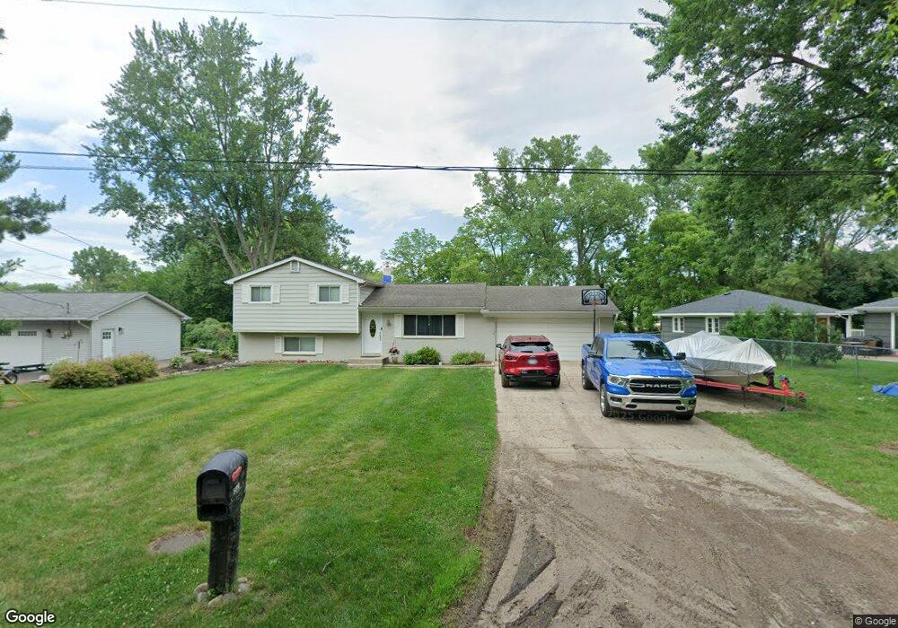
5810 Whithorn Dr Clarkston, MI 48346
Estimated Value: $348,375 - $407,000
3
Beds
3
Baths
1,530
Sq Ft
$239/Sq Ft
Est. Value
About This Home
This home is located at 5810 Whithorn Dr, Clarkston, MI 48346 and is currently estimated at $365,594, approximately $238 per square foot. 5810 Whithorn Dr is a home located in Oakland County with nearby schools including Schoolcraft Elementary School, Waterford Kettering High School, and Mason Middle School.
Ownership History
Date
Name
Owned For
Owner Type
Purchase Details
Closed on
Jun 28, 2005
Sold by
Anhel William M and Anhel Diane T
Bought by
Miller Kevin and Maki Jennifer
Current Estimated Value
Purchase Details
Closed on
Apr 1, 2003
Sold by
Wardell Robert and Wardell Bonnie S
Bought by
Ameriquest Mortgage Co
Purchase Details
Closed on
Jan 30, 2001
Sold by
Gorsline Leon C
Bought by
Wardell Robert
Home Financials for this Owner
Home Financials are based on the most recent Mortgage that was taken out on this home.
Original Mortgage
$153,685
Interest Rate
7.06%
Create a Home Valuation Report for This Property
The Home Valuation Report is an in-depth analysis detailing your home's value as well as a comparison with similar homes in the area
Home Values in the Area
Average Home Value in this Area
Purchase History
| Date | Buyer | Sale Price | Title Company |
|---|---|---|---|
| Miller Kevin | $198,063 | Metropolitan Title Company | |
| Ameriquest Mortgage Co | $215,714 | -- | |
| Wardell Robert | $154,900 | -- |
Source: Public Records
Mortgage History
| Date | Status | Borrower | Loan Amount |
|---|---|---|---|
| Previous Owner | Wardell Robert | $153,685 |
Source: Public Records
Tax History Compared to Growth
Tax History
| Year | Tax Paid | Tax Assessment Tax Assessment Total Assessment is a certain percentage of the fair market value that is determined by local assessors to be the total taxable value of land and additions on the property. | Land | Improvement |
|---|---|---|---|---|
| 2024 | $1,623 | $163,000 | $54,800 | $108,200 |
| 2023 | $2,197 | $149,200 | $51,600 | $97,600 |
| 2022 | $2,197 | $138,000 | $44,800 | $93,200 |
| 2021 | $2,198 | $136,500 | $40,900 | $95,600 |
| 2020 | $1,417 | $114,700 | $20,300 | $94,400 |
| 2018 | $2,114 | $94,900 | $20,200 | $74,700 |
| 2015 | -- | $83,800 | $0 | $0 |
| 2014 | -- | $78,900 | $0 | $0 |
| 2011 | -- | $65,500 | $0 | $0 |
Source: Public Records
Map
Nearby Homes
- 5721 Corunna Ave
- 0 Harding Ave Harding Ave
- 4886 Harding Ave
- 5944 Waterford Hill Terrace
- 000 Dixie Hwy
- 5142 Marvin Rd
- 6003 Rolton Ct
- 5826 Andersonville Rd
- 6492 Scenic Pines Ct Unit 16
- 6516 Scenic Pines Ct Unit 12
- 4281 Marcus Rd
- 4341 Barnard Rd
- 5025 Timberway Trail
- 6583 Ridgeview Dr
- 5385 Milane Cir
- 6334 Andersonville Rd
- 5336 Forest Ridge Dr Unit 55
- 6580 Summit Ridge Unit 33
- 000 Waterloo St
- 6788 Balmoral Terrace
- 5820 Whithorn Dr
- 5834 Whithorn Dr
- 5750 Corunna Ave
- 4817 Harding Ave
- 0 Harding Unit 4508919
- 0 Harding Unit G31143571
- 5669 Corunna Ave
- 5850 Rockcroft Blvd
- 4771 Harding Ave
- 5679 Corunna Ave
- 4800 Harding Ave
- 4806 Harding Ave
- VL Harding Ave
- 4794 Harding Ave
- 4812 Harding Ave
- 5701 Corunna Ave
- 5755 Corunna Ave
- 4776 Harding Ave
- 4776 Harding Ave Unit HARDING
- 5875 Rockcroft Blvd