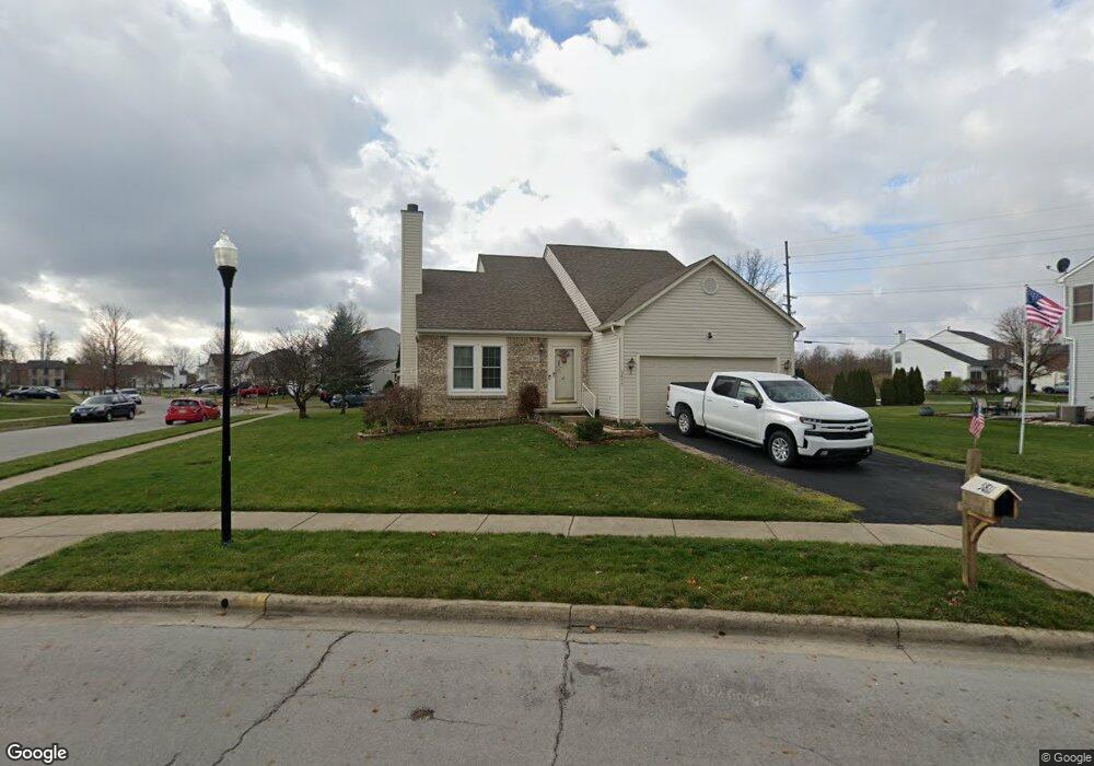
5811 Landsview Dr Galloway, OH 43119
Galloway Ridge NeighborhoodEstimated Value: $336,000 - $373,000
About This Home
This home is located at 5811 Landsview Dr, Galloway, OH 43119 and is currently estimated at $350,830, approximately $216 per square foot. 5811 Landsview Dr is a home located in Franklin County with nearby schools including Galloway Ridge Intermediate School, Darby Woods Elementary School, and Norton Middle School.
Ownership History
We collect this data history from publicly available records. To have your information removed, we recommend requesting removal directly through your county’s website.
Purchase Details
Home Financials for this Owner
Home Financials are based on the most recent Mortgage that was taken out on this home.Home Values in the Area
Average Home Value in this Area
Purchase History
We collect this data history from publicly available records. To have your information removed, we recommend requesting removal directly through your county’s website.
| Date | Buyer | Sale Price | Title Company |
|---|---|---|---|
| $177,100 | Alliance Title |
Mortgage History
We collect this data history from publicly available records. To have your information removed, we recommend requesting removal directly through your county’s website.
| Date | Status | Borrower | Loan Amount |
|---|---|---|---|
| Closed | $173,671 |
Tax History
We collect this data history from publicly available records. To have your information removed, we recommend requesting removal directly through your county’s website.
| Year | Tax Paid | Tax Assessment Tax Assessment Total Assessment is a certain percentage of the fair market value that is determined by local assessors to be the total taxable value of land and additions on the property. | Land | Improvement |
|---|---|---|---|---|
| 2025 | $3,677 | $100,840 | $29,050 | $71,790 |
| 2024 | $3,677 | $100,840 | $29,050 | $71,790 |
| 2023 | $3,612 | $100,835 | $29,050 | $71,785 |
| 2022 | $3,172 | $65,000 | $10,920 | $54,080 |
| 2021 | $3,236 | $65,000 | $10,920 | $54,080 |
| 2020 | $3,218 | $65,000 | $10,920 | $54,080 |
| 2019 | $2,539 | $54,010 | $9,100 | $44,910 |
| 2018 | $2,457 | $54,010 | $9,100 | $44,910 |
| 2017 | $2,516 | $54,010 | $9,100 | $44,910 |
| 2016 | $2,387 | $48,200 | $7,880 | $40,320 |
| 2015 | $2,387 | $48,200 | $7,880 | $40,320 |
| 2014 | $2,389 | $48,200 | $7,880 | $40,320 |
| 2013 | $1,262 | $50,750 | $8,295 | $42,455 |
Map
- 5906 Westbend Dr
- 265 Westedge Ct
- 5789 Westbank Dr
- 363 Belfair Dr
- 5846 Westbank Dr
- 405 Ruffin Dr
- 368 Mogul Dr
- 5922 Ballydugan Dr
- 407 Mogul Dr
- 5947 Ballydugan Dr
- 5440 Inglecrest Place
- 493 Lilyfield Ln
- 5965 Kilbeggan St
- 432 Jonathon Dayton Way Unit 127
- 89 Alton Darby Creek Rd
- 524 Thorngate Ct
- 6110 Federalist Dr Unit 151
- 150 Lennox Ave
- 69 Lawrence Ave
- 272-274 Hilliard Rome Rd
- 129 Welshmore Dr
- 137 Welshmore Dr
- 121 Welshmore Dr
- 145 Welshmore Dr
- 113 Welshmore Dr
- 153 Welshmore Dr
- 105 Welshmore Dr
- 122 Welshmore Dr
- 138 Welshmore Dr
- 146 Welshmore Dr
- 114 Welshmore Dr
- 97 Welshmore Dr
- 161 Welshmore Dr
- 5820 Sharets Dr
- 5795 Landsview Dr
- 89 Welshmore Dr
- 5787 Landsview Dr
- 125 Thevintree Dr
- 117 Thevintree Dr
- 133 Thevintree Dr
Ask me questions while you tour the home.