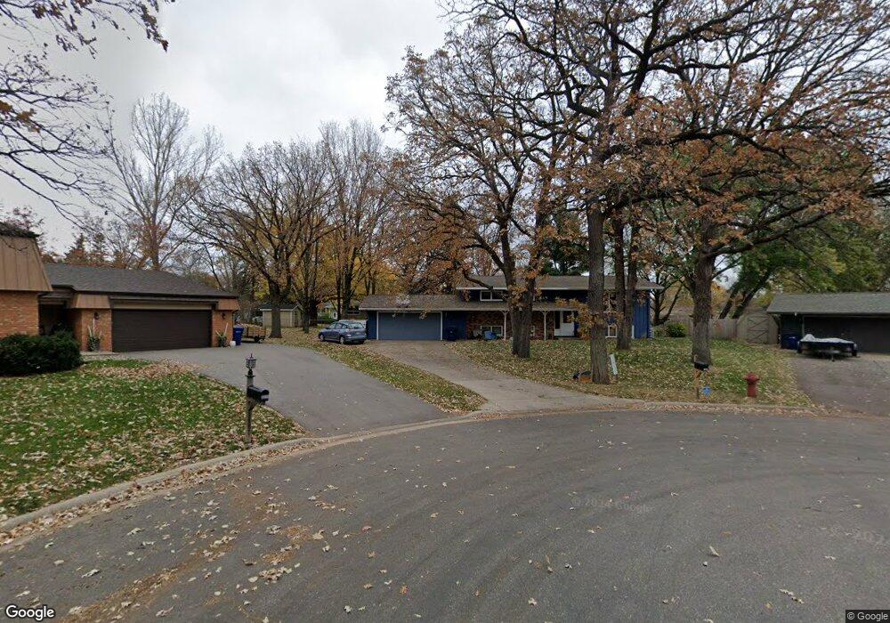
5813 Michael Ct Saint Cloud, MN 56303
Estimated Value: $291,000 - $308,000
5
Beds
3
Baths
2,544
Sq Ft
$118/Sq Ft
Est. Value
About This Home
This home is located at 5813 Michael Ct, Saint Cloud, MN 56303 and is currently estimated at $300,374, approximately $118 per square foot. 5813 Michael Ct is a home located in Stearns County with nearby schools including Westwood Elementary School, North Junior High School, and Apollo Senior High School.
Ownership History
Date
Name
Owned For
Owner Type
Purchase Details
Closed on
Dec 9, 2016
Sold by
Hachenmueller Sandra Denise and Rooney Sandra Denise
Bought by
Hackenmueller Craig Anthony
Current Estimated Value
Create a Home Valuation Report for This Property
The Home Valuation Report is an in-depth analysis detailing your home's value as well as a comparison with similar homes in the area
Home Values in the Area
Average Home Value in this Area
Purchase History
| Date | Buyer | Sale Price | Title Company |
|---|---|---|---|
| Hackenmueller Craig Anthony | -- | None Available |
Source: Public Records
Tax History Compared to Growth
Tax History
| Year | Tax Paid | Tax Assessment Tax Assessment Total Assessment is a certain percentage of the fair market value that is determined by local assessors to be the total taxable value of land and additions on the property. | Land | Improvement |
|---|---|---|---|---|
| 2025 | $3,094 | $267,100 | $60,000 | $207,100 |
| 2024 | $3,094 | $251,800 | $60,000 | $191,800 |
| 2023 | $2,868 | $251,800 | $45,000 | $206,800 |
| 2022 | $2,322 | $179,400 | $45,000 | $134,400 |
| 2021 | $2,204 | $179,400 | $45,000 | $134,400 |
| 2020 | $2,110 | $171,800 | $45,000 | $126,800 |
| 2019 | $2,084 | $161,300 | $45,000 | $116,300 |
| 2018 | $2,006 | $151,500 | $45,000 | $106,500 |
| 2017 | $1,968 | $144,400 | $45,000 | $99,400 |
| 2016 | $1,852 | $0 | $0 | $0 |
| 2015 | $1,900 | $0 | $0 | $0 |
| 2014 | -- | $0 | $0 | $0 |
Source: Public Records
Map
Nearby Homes
- 944 Spruce Dr
- TBD Elbow Ln
- 15 Morningside Rd
- 5815 Rivers Edge Dr
- 5948 Rivers Edge Dr
- 5716 Cardinal Ct
- 38 Glenview Loop
- 6335 Cape West Ct
- 5926 18th St N
- 1804 Amblewood Dr
- 939 Cypress Rd Unit 61
- 939 Cypress Rd Unit 53
- 6625 Westwood Pkwy
- 1806 Case Ln
- 843 Sierra Ln
- 6536 Kenwood Rd
- 6629 Black Spruce St
- 1437 Aspen Ln
- 1610 Aspen Ln
- 1933 Cypress Rd
- 5812 Michael Ct
- 925 Brenda Lee Dr
- 5814 Michael Ct
- 919 Brenda Lee Dr
- 927 Brenda Lee Dr
- 5811 Michael Ct
- 913 Brenda Lee Dr
- 5815 Michael Ct
- 929 Brenda Lee Dr
- 910 Gloria Dr
- 907 Brenda Lee Dr
- 916 Brenda Lee Dr
- 5833 Ridgewood Rd
- 5817 Michael Ct
- 5841 Ridgewood Rd
- 920 Brenda Lee Dr
- 902 Gloria Dr
- 912 Brenda Lee Dr
- 926 Brenda Lee Dr
- 903 Brenda Lee Dr