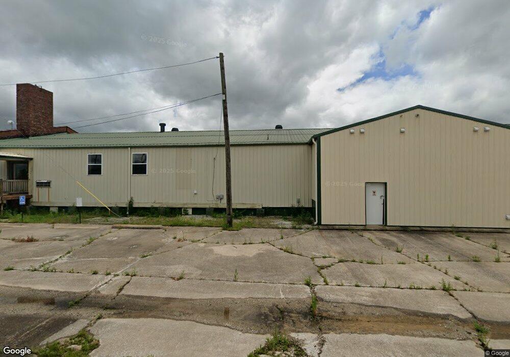
5815 Eads Rd Neosho, MO 64850
Estimated Value: $155,151
--
Bed
6
Baths
35,339
Sq Ft
$4/Sq Ft
Est. Value
About This Home
This home is located at 5815 Eads Rd, Neosho, MO 64850 and is currently estimated at $155,151, approximately $4 per square foot. 5815 Eads Rd is a home located in Newton County with nearby schools including Neosho High School.
Ownership History
Date
Name
Owned For
Owner Type
Purchase Details
Closed on
Jan 20, 2022
Sold by
Bcwc Llc
Bought by
Lemoine Investments Llc
Current Estimated Value
Home Financials for this Owner
Home Financials are based on the most recent Mortgage that was taken out on this home.
Original Mortgage
$110,000
Outstanding Balance
$31,023
Interest Rate
3.11%
Mortgage Type
New Conventional
Estimated Equity
$124,128
Purchase Details
Closed on
Mar 31, 2021
Sold by
Select Genetics Llc Successor By Merger
Bought by
Bcwc Llc
Create a Home Valuation Report for This Property
The Home Valuation Report is an in-depth analysis detailing your home's value as well as a comparison with similar homes in the area
Home Values in the Area
Average Home Value in this Area
Purchase History
| Date | Buyer | Sale Price | Title Company |
|---|---|---|---|
| Lemoine Investments Llc | -- | None Listed On Document | |
| Bcwc Llc | -- | None Listed On Document |
Source: Public Records
Mortgage History
| Date | Status | Borrower | Loan Amount |
|---|---|---|---|
| Open | Lemoine Investments Llc | $110,000 |
Source: Public Records
Tax History Compared to Growth
Tax History
| Year | Tax Paid | Tax Assessment Tax Assessment Total Assessment is a certain percentage of the fair market value that is determined by local assessors to be the total taxable value of land and additions on the property. | Land | Improvement |
|---|---|---|---|---|
| 2024 | $1,818 | $31,360 | -- | -- |
| 2023 | $1,818 | $31,360 | $4,224 | $27,136 |
| 2022 | $1,818 | $31,360 | -- | -- |
| 2021 | $6,696 | $118,510 | $0 | $0 |
| 2020 | $7,040 | $125,250 | $0 | $0 |
| 2019 | $6,433 | $125,250 | $0 | $0 |
| 2018 | $6,425 | $124,780 | $0 | $0 |
| 2017 | $6,403 | $124,780 | $0 | $0 |
| 2016 | $6,403 | $124,780 | $0 | $0 |
| 2015 | -- | $124,780 | $0 | $0 |
| 2014 | -- | $123,200 | $0 | $0 |
Source: Public Records
Map
Nearby Homes
- 13691 Palm Rd
- 13665 Palm Rd
- 13563 Paisley Rd
- 13590 Patti Ln
- 13581 Patti Ln
- 3 Palm Rd
- 5 Kodiak Rd
- Tbd Mink Dr
- 000 Orchid Dr
- TBD Orchid Dr
- Lot 2 (4 acres) Mink Dr
- Lot 9 (8.98 acres) Mink Dr
- Lot 3 (2.79 acres) Mink Dr
- Lot 5 (5.66 acres) Mink Dr
- Lot 7 (8.20 acres) Mink Dr
- Lot 8 (9.13 acres) Mink Dr
- Lot 6 (8.21 acres) Mink Dr
- Lot 10 (10 acres) Mink Dr
- Lot 3 Mink Drive (2 79 Ac)
- Lot 2 Mink Drive (4 Ac)
- 5804 Howard Bush Dr
- 1103 Eads St
- 1235 Blair Ave
- 1100 Blair Ave
- Xxx Ross Eads Rd
- -- N Highway 59
- -- Hwy 59
- 0 Hwy 59 & Malcomb Mosby Dr
- 0 S Hwy 59 South Dr S Unit 717073
- 13974 Quince Rd
- 19034 Highway 59
- 13943 Penn Ln
- 18744 Highway 59
- 18744 Highway 59
- 18744 Hwy 59
- 18744 Highway 59
- 13851 Quince Rd
- 13882 Quince Rd
- 19522 Highway 59
- 18724 Missouri 59