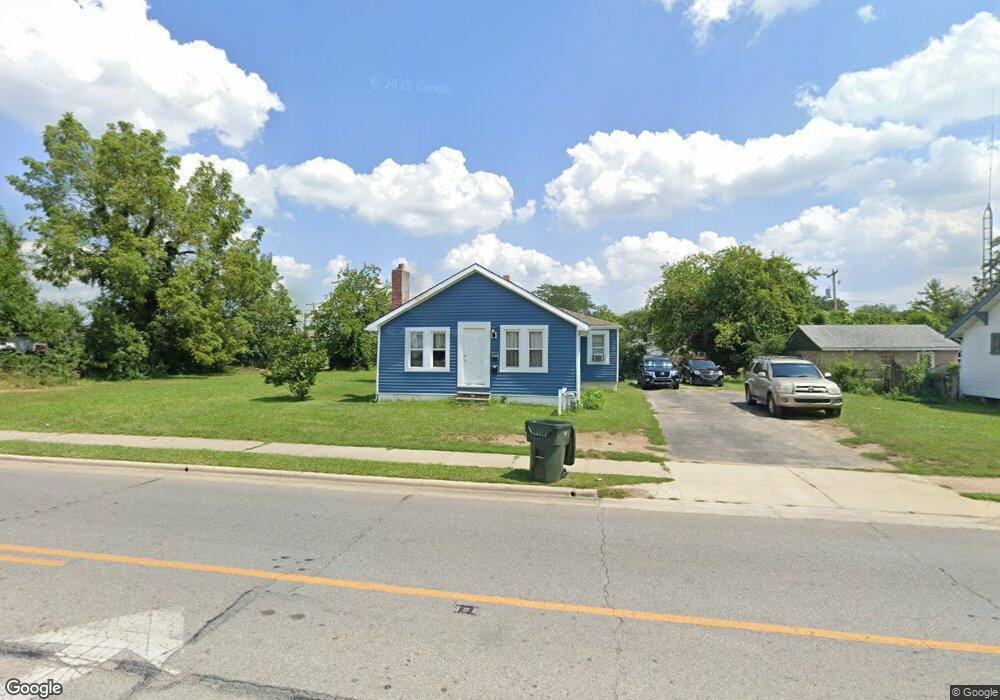
582 Demorest Rd Columbus, OH 43204
Southwest Hilltop NeighborhoodEstimated Value: $128,710 - $180,000
2
Beds
1
Bath
1,034
Sq Ft
$145/Sq Ft
Est. Value
About This Home
This home is located at 582 Demorest Rd, Columbus, OH 43204 and is currently estimated at $149,428, approximately $144 per square foot. 582 Demorest Rd is a home located in Franklin County with nearby schools including West Franklin Elementary School, Franklin Woods Intermediate School, and Finland Middle School.
Ownership History
Date
Name
Owned For
Owner Type
Purchase Details
Closed on
Jun 22, 2004
Sold by
Diddle George H and Diddle Cathy M
Bought by
Long Sok T
Current Estimated Value
Home Financials for this Owner
Home Financials are based on the most recent Mortgage that was taken out on this home.
Original Mortgage
$40,500
Outstanding Balance
$20,406
Interest Rate
6.46%
Mortgage Type
Purchase Money Mortgage
Estimated Equity
$129,022
Purchase Details
Closed on
Oct 23, 1981
Bought by
Diddle George H
Create a Home Valuation Report for This Property
The Home Valuation Report is an in-depth analysis detailing your home's value as well as a comparison with similar homes in the area
Home Values in the Area
Average Home Value in this Area
Purchase History
| Date | Buyer | Sale Price | Title Company |
|---|---|---|---|
| Long Sok T | $45,000 | Northwest T | |
| Diddle George H | $14,000 | -- |
Source: Public Records
Mortgage History
| Date | Status | Borrower | Loan Amount |
|---|---|---|---|
| Open | Long Sok T | $40,500 |
Source: Public Records
Tax History Compared to Growth
Tax History
| Year | Tax Paid | Tax Assessment Tax Assessment Total Assessment is a certain percentage of the fair market value that is determined by local assessors to be the total taxable value of land and additions on the property. | Land | Improvement |
|---|---|---|---|---|
| 2024 | $1,337 | $35,740 | $12,110 | $23,630 |
| 2023 | $1,313 | $35,735 | $12,110 | $23,625 |
| 2022 | $836 | $16,700 | $4,480 | $12,220 |
| 2021 | $947 | $16,700 | $4,480 | $12,220 |
| 2020 | $849 | $16,700 | $4,480 | $12,220 |
| 2019 | $785 | $13,620 | $3,750 | $9,870 |
| 2018 | $726 | $13,620 | $3,750 | $9,870 |
| 2017 | $725 | $13,620 | $3,750 | $9,870 |
| 2016 | $671 | $10,780 | $1,960 | $8,820 |
| 2015 | $671 | $10,780 | $1,960 | $8,820 |
| 2014 | $671 | $10,780 | $1,960 | $8,820 |
| 2013 | $391 | $12,670 | $2,310 | $10,360 |
Source: Public Records
Map
Nearby Homes
- 585 Athens Ave
- 617 Athens St
- 3300-3302 Sullivant Ave
- 3276-3278 Sullivant Ave
- 695 Demorest Rd
- 781 Stephen Dr W
- 737 S Brinker Ave
- 328 S Southampton Ave
- 756 Brixham Rd
- 840 Mark Place
- 0 S Brinker Ave
- 610 Salisbury Rd
- 3318 Miriam Dr S
- 267 S Westgate Ave
- 3551 Glorious Rd
- 195 S Sylvan Ave
- 725 Binns Blvd
- 793 Binns Blvd
- 638 Binns Blvd
- 457 Guernsey Ave
- 576-76.5 Demorest Rd
- 598 Demorest Rd
- 570 Demorest Rd
- 585 Dexter Ave
- 597 Dexter Ave
- 608 Demorest Rd
- 599 Dexter Ave
- 575 Dexter Ave
- 603 Dexter Ave
- 605 Dexter Ave
- 3435 Sullivant Ave
- 615 Dexter Ave
- 3424 Race St
- 621 Dexter Ave
- 3432 Race St
- 590 Dexter Ave
- 594 Dexter Ave
- 0 Dexter Ave
- 576 Dexter Ave
- 3363 Sullivant Ave