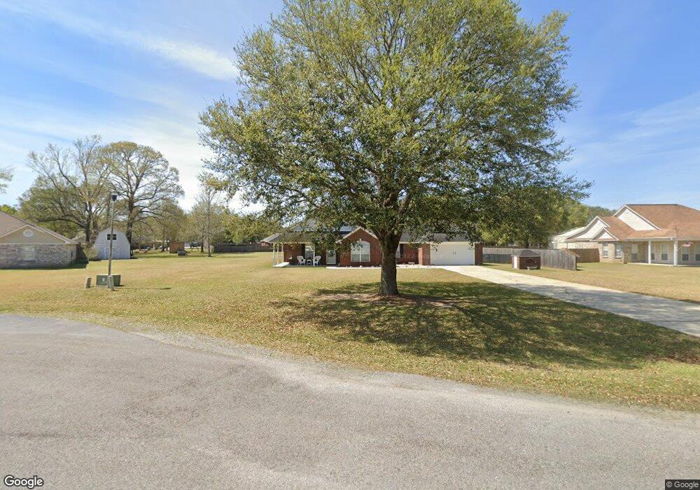
5820 Laramie Ln Moss Point, MS 39562
Estimated Value: $275,000 - $309,000
4
Beds
2
Baths
1,850
Sq Ft
$155/Sq Ft
Est. Value
About This Home
This home is located at 5820 Laramie Ln, Moss Point, MS 39562 and is currently estimated at $287,611, approximately $155 per square foot. 5820 Laramie Ln is a home located in Jackson County with nearby schools including East Central Lower Elementary School, East Central Upper Elementary School, and East Central Middle School.
Ownership History
Date
Name
Owned For
Owner Type
Purchase Details
Closed on
Nov 13, 2009
Sold by
Cumbest Kenneth E
Bought by
Bennett Russell R and Bennett Mary
Current Estimated Value
Home Financials for this Owner
Home Financials are based on the most recent Mortgage that was taken out on this home.
Original Mortgage
$147,283
Outstanding Balance
$94,303
Interest Rate
4.94%
Mortgage Type
Purchase Money Mortgage
Estimated Equity
$193,308
Create a Home Valuation Report for This Property
The Home Valuation Report is an in-depth analysis detailing your home's value as well as a comparison with similar homes in the area
Purchase History
| Date | Buyer | Sale Price | Title Company |
|---|---|---|---|
| Bennett Russell R | -- | -- |
Source: Public Records
Mortgage History
| Date | Status | Borrower | Loan Amount |
|---|---|---|---|
| Open | Bennett Russell R | $147,283 |
Source: Public Records
Tax History
| Year | Tax Paid | Tax Assessment Tax Assessment Total Assessment is a certain percentage of the fair market value that is determined by local assessors to be the total taxable value of land and additions on the property. | Land | Improvement |
|---|---|---|---|---|
| 2025 | $1,614 | $16,111 | $2,464 | $13,647 |
| 2024 | $1,614 | $15,469 | $2,391 | $13,078 |
| 2023 | $1,557 | $15,469 | $2,391 | $13,078 |
| 2022 | $1,504 | $15,469 | $2,391 | $13,078 |
| 2021 | $1,522 | $15,630 | $2,391 | $13,239 |
| 2020 | $1,401 | $14,077 | $2,439 | $11,638 |
| 2019 | $1,382 | $14,077 | $2,439 | $11,638 |
| 2018 | $1,415 | $14,077 | $2,439 | $11,638 |
| 2017 | $1,422 | $13,897 | $2,439 | $11,458 |
| 2016 | $1,353 | $13,897 | $2,439 | $11,458 |
| 2015 | $1,301 | $133,880 | $24,390 | $109,490 |
| 2014 | $1,315 | $13,747 | $2,439 | $11,308 |
| 2013 | $1,261 | $13,747 | $2,439 | $11,308 |
Source: Public Records
Map
Nearby Homes
- 5455 Gavin Hamilton Rd
- 5402 Huckleberry Ln
- 6685 Caraway Rd
- 6200 Hurley Wade Rd
- Tbd Hurley Wade Rd
- 5901 Lum Reeves Rd
- 21217 E Trails End Rd
- 24040 Robert e Lee Rd
- 23117 Hinton Rd
- 125 Mulberry Dr
- 0 Mississippi 614
- 0000 Mississippi 614
- 0 Ramie Farm Rd
- 24023 Robert e Lee Rd
- 8012 Coleman Homestead Rd
- 20700 Cameron Ln
- 7015 Whites Farm Rd
- 7005 Whites Farm Rd
- 24997 Eastwood Ln
- 0 Hwy 613 Unit 4108899
- 5850 Laramie Ln
- 5800 Laramie Ln
- 22704 Sonora Dr
- 5860 Laramie Ln
- 22752 Sonora Dr
- 22656 Sonora Dr
- 6101 Laramie Ln
- 6009 Laramie Ln
- 22800 Sonora Dr
- 5832 Laramie Ln
- 22608 Sonora Dr
- 5880 Laramie Ln
- 22802 Sonora Dr
- 5849 Laramie Ln
- 22705 Sonora Dr
- 22701 Sonora Dr
- 5900 Laramie Ln
- 22801 Dalewood Ln
- 22567 Sonora Dr
- 22613 Sonora Dr
Your Personal Tour Guide
Ask me questions while you tour the home.