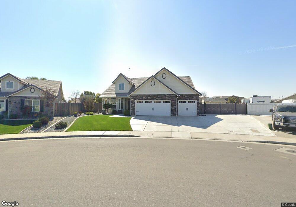
5823 Biddeford St Bakersfield, CA 93313
Panama NeighborhoodEstimated Value: $486,000 - $512,221
3
Beds
2
Baths
2,154
Sq Ft
$232/Sq Ft
Est. Value
About This Home
This home is located at 5823 Biddeford St, Bakersfield, CA 93313 and is currently estimated at $499,305, approximately $231 per square foot. 5823 Biddeford St is a home with nearby schools including Bill L. Williams Elementary School, Stonecreek Junior High School, and Ridgeview High School.
Ownership History
Date
Name
Owned For
Owner Type
Purchase Details
Closed on
Jul 20, 2018
Sold by
Shipe Jason Wayne and Shipe Katie Ann
Bought by
Landeros Agustin S
Current Estimated Value
Home Financials for this Owner
Home Financials are based on the most recent Mortgage that was taken out on this home.
Original Mortgage
$75,000
Interest Rate
4.5%
Mortgage Type
New Conventional
Purchase Details
Closed on
Dec 1, 2014
Sold by
Lenanr Fresno Inc
Bought by
Shipe Jason Wayne and Shipe Katie Ann
Home Financials for this Owner
Home Financials are based on the most recent Mortgage that was taken out on this home.
Original Mortgage
$296,875
Interest Rate
3.96%
Mortgage Type
New Conventional
Create a Home Valuation Report for This Property
The Home Valuation Report is an in-depth analysis detailing your home's value as well as a comparison with similar homes in the area
Home Values in the Area
Average Home Value in this Area
Purchase History
| Date | Buyer | Sale Price | Title Company |
|---|---|---|---|
| Landeros Agustin S | $330,000 | Ticor Title Co | |
| Shipe Jason Wayne | $317,500 | North American Title |
Source: Public Records
Mortgage History
| Date | Status | Borrower | Loan Amount |
|---|---|---|---|
| Previous Owner | Landeros Agustin S | $75,000 | |
| Previous Owner | Shipe Jason Wayne | $296,875 |
Source: Public Records
Tax History Compared to Growth
Tax History
| Year | Tax Paid | Tax Assessment Tax Assessment Total Assessment is a certain percentage of the fair market value that is determined by local assessors to be the total taxable value of land and additions on the property. | Land | Improvement |
|---|---|---|---|---|
| 2025 | $5,420 | $395,457 | $66,929 | $328,528 |
| 2024 | $5,331 | $387,704 | $65,617 | $322,087 |
| 2023 | $5,331 | $380,104 | $64,331 | $315,773 |
| 2022 | $5,118 | $372,652 | $63,070 | $309,582 |
| 2021 | $4,982 | $365,346 | $61,834 | $303,512 |
| 2020 | $4,920 | $361,600 | $61,200 | $300,400 |
| 2019 | $4,567 | $336,600 | $61,200 | $275,400 |
| 2018 | $4,506 | $335,362 | $52,812 | $282,550 |
| 2017 | $4,425 | $328,787 | $51,777 | $277,010 |
| 2016 | $4,162 | $322,341 | $50,762 | $271,579 |
| 2015 | $4,167 | $317,500 | $50,000 | $267,500 |
Source: Public Records
Map
Nearby Homes
- 6040 Samuelson St
- 5815 Pearl Ridge Dr
- 6115 Cape Cod Ave
- 6201 Cape Cod Ave
- 6225 Thorton Ave
- 6009 Moonstone Peak Dr
- 6310 Thorton Ave
- 9301 Cobble Mountain Rd
- 9402 Cobble Mountain Rd
- 5407 Red Wheat Ave
- 9623 Kanosh Cobble Dr
- 8505 Marble Ridge Way
- 9003 Great Harvest Dr
- 6028 Bogart Dr
- 6230 Taft Hwy
- 6021 Bogart Dr
- 5808 Esmerelda Ave
- 5400 Saddleback Ridge Ct
- 5831 Mardal Ave
- 5518 Coburn Ridge Ct
- 5817 Biddeford St
- 9019 Washburn Way
- 5902 Quebec Ave
- 5908 Quebec Ave
- 5824 Quebec Ave
- 5811 Biddeford St
- 5914 Quebec Ave
- 9013 Washburn Way
- 5816 Biddeford St
- 5818 Quebec Ave
- 9018 Farmington Way
- 6101 Oxford Hills Dr
- 5920 Quebec Ave
- 5812 Biddeford St
- 9007 Washburn Way
- 9012 Farmington Way
- 5808 Biddeford St
- 5901 Quebec Ave
- 5805 Biddeford St
- 9006 Farmington Way