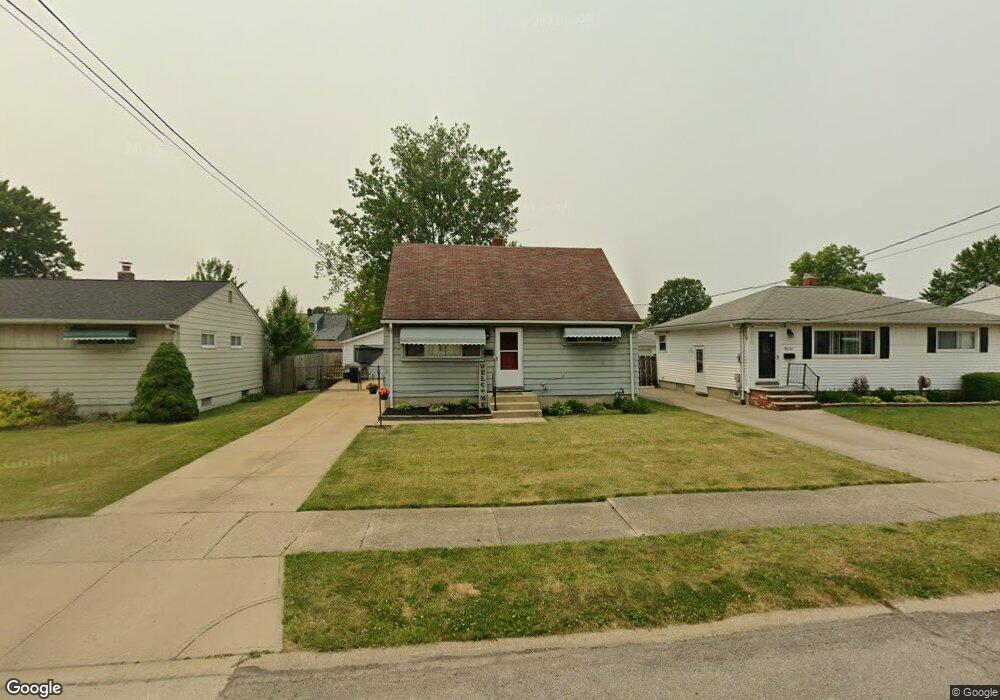
5826 Doris Dr Brookpark, OH 44142
Estimated Value: $181,871 - $233,000
4
Beds
1
Bath
1,131
Sq Ft
$186/Sq Ft
Est. Value
About This Home
This home is located at 5826 Doris Dr, Brookpark, OH 44142 and is currently estimated at $209,968, approximately $185 per square foot. 5826 Doris Dr is a home located in Cuyahoga County with nearby schools including Berea-Midpark Middle School, Berea-Midpark High School, and Huber Heights Preparatory Academy Parma Academy.
Ownership History
Date
Name
Owned For
Owner Type
Purchase Details
Closed on
Oct 10, 1998
Sold by
Dibacco Robert C and Dibacco Judith L
Bought by
Schock Michael A and Schock Tracey M
Current Estimated Value
Home Financials for this Owner
Home Financials are based on the most recent Mortgage that was taken out on this home.
Original Mortgage
$91,600
Outstanding Balance
$16,903
Interest Rate
6.78%
Estimated Equity
$193,065
Purchase Details
Closed on
Oct 16, 1989
Sold by
Clark Julia F
Bought by
Dibacco Robert C
Purchase Details
Closed on
Aug 23, 1979
Sold by
Rath Mariellen
Bought by
Clark Julia F
Purchase Details
Closed on
Nov 14, 1977
Sold by
Wiley Richard B and Wiley Mardel M
Bought by
Rath Mariellen
Purchase Details
Closed on
Jan 1, 1975
Bought by
Wiley Richard B and Wiley Mardel M
Create a Home Valuation Report for This Property
The Home Valuation Report is an in-depth analysis detailing your home's value as well as a comparison with similar homes in the area
Home Values in the Area
Average Home Value in this Area
Purchase History
| Date | Buyer | Sale Price | Title Company |
|---|---|---|---|
| Schock Michael A | $106,500 | Executive Title Agency Corp | |
| Dibacco Robert C | $67,000 | -- | |
| Clark Julia F | $51,000 | -- | |
| Rath Mariellen | $42,000 | -- | |
| Wiley Richard B | -- | -- |
Source: Public Records
Mortgage History
| Date | Status | Borrower | Loan Amount |
|---|---|---|---|
| Open | Schock Michael A | $91,600 |
Source: Public Records
Tax History
| Year | Tax Paid | Tax Assessment Tax Assessment Total Assessment is a certain percentage of the fair market value that is determined by local assessors to be the total taxable value of land and additions on the property. | Land | Improvement |
|---|---|---|---|---|
| 2025 | $2,811 | $56,070 | $11,200 | $44,870 |
| 2024 | $2,828 | $56,070 | $11,200 | $44,870 |
| 2023 | $2,868 | $47,080 | $9,490 | $37,590 |
| 2022 | $2,847 | $47,080 | $9,490 | $37,590 |
| 2021 | $2,831 | $47,080 | $9,490 | $37,590 |
| 2020 | $2,551 | $37,350 | $7,530 | $29,820 |
| 2019 | $2,475 | $106,700 | $21,500 | $85,200 |
| 2018 | $2,351 | $37,350 | $7,530 | $29,820 |
| 2017 | $2,424 | $33,920 | $7,600 | $26,320 |
| 2016 | $2,404 | $33,920 | $7,600 | $26,320 |
| 2015 | $2,374 | $33,920 | $7,600 | $26,320 |
| 2014 | $2,374 | $35,700 | $7,980 | $27,720 |
Source: Public Records
Map
Nearby Homes
- 16159 Bowfin Blvd
- 6016 Gilmere Dr
- 15995 Paulding Blvd
- 16084 Harrison Dr
- 6188 Barbara Ln
- 15268 Muskingum Blvd
- 16311 Richard Dr
- 15300 Holland Rd
- 6330 Stonecrest Dr
- 6330 Ledgebrook Dr
- 6065 Mercer Dr
- 6330 Sandfield Dr
- 5779 Gateway Ln Unit 1903
- 6377 Ledgebrook Dr
- 6386 Sandfield Dr
- 6448 Delores Blvd
- 6095 Stark Dr
- 14801 Larkfield Dr
- 5249 W 150th St
- 14761 Larkfield Dr
Your Personal Tour Guide
Ask me questions while you tour the home.