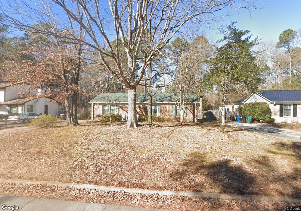
5828 Newhall Rd Durham, NC 27713
South Durham NeighborhoodEstimated Value: $341,015 - $373,000
3
Beds
2
Baths
1,570
Sq Ft
$228/Sq Ft
Est. Value
About This Home
This home is located at 5828 Newhall Rd, Durham, NC 27713 and is currently estimated at $358,254, approximately $228 per square foot. 5828 Newhall Rd is a home located in Durham County with nearby schools including Parkwood Elementary, Lowe's Grove Middle, and Hillside High School.
Ownership History
Date
Name
Owned For
Owner Type
Purchase Details
Closed on
Jul 17, 2003
Sold by
Wilson D Lee
Bought by
Wilson Jean C
Current Estimated Value
Home Financials for this Owner
Home Financials are based on the most recent Mortgage that was taken out on this home.
Original Mortgage
$117,200
Outstanding Balance
$42,524
Interest Rate
3.75%
Mortgage Type
Purchase Money Mortgage
Estimated Equity
$315,730
Purchase Details
Closed on
Jan 13, 1998
Sold by
Scott Ii Sam J
Bought by
Wilson D Lee D and Wilson Jean C
Home Financials for this Owner
Home Financials are based on the most recent Mortgage that was taken out on this home.
Original Mortgage
$116,400
Interest Rate
7.75%
Create a Home Valuation Report for This Property
The Home Valuation Report is an in-depth analysis detailing your home's value as well as a comparison with similar homes in the area
Home Values in the Area
Average Home Value in this Area
Purchase History
| Date | Buyer | Sale Price | Title Company |
|---|---|---|---|
| Wilson Jean C | -- | -- | |
| Wilson D Lee D | $116,500 | -- |
Source: Public Records
Mortgage History
| Date | Status | Borrower | Loan Amount |
|---|---|---|---|
| Open | Wilson Jean C | $117,200 | |
| Closed | Wilson D Lee D | $116,400 |
Source: Public Records
Tax History
| Year | Tax Paid | Tax Assessment Tax Assessment Total Assessment is a certain percentage of the fair market value that is determined by local assessors to be the total taxable value of land and additions on the property. | Land | Improvement |
|---|---|---|---|---|
| 2025 | $3,402 | $343,146 | $129,000 | $214,146 |
| 2024 | $2,718 | $194,886 | $38,760 | $156,126 |
| 2023 | $2,553 | $194,886 | $38,760 | $156,126 |
| 2022 | $2,494 | $194,886 | $38,760 | $156,126 |
| 2021 | $2,483 | $194,886 | $38,760 | $156,126 |
| 2020 | $2,424 | $194,886 | $38,760 | $156,126 |
| 2019 | $2,424 | $194,886 | $38,760 | $156,126 |
| 2018 | $2,086 | $153,745 | $32,300 | $121,445 |
| 2017 | $2,070 | $153,745 | $32,300 | $121,445 |
| 2016 | $2,000 | $153,745 | $32,300 | $121,445 |
| 2015 | $2,074 | $149,793 | $23,676 | $126,117 |
| 2014 | $2,074 | $149,793 | $23,676 | $126,117 |
Source: Public Records
Map
Nearby Homes
- 1510 Haventree Rd
- 104 Deblyn Ct
- 6353 Grandale Dr
- 5504 Pelham Rd
- 4 Green Springs Ct
- 7 Scenic Ct
- 1446 Clermont Rd
- 1621 Clermont Rd
- 111 Wenonah Way
- 1509 Clermont Rd Unit T27
- 1509 Clermont Rd Unit T24
- 109 Settlers Mill Ln
- 1010 Sturbridge Dr
- 27 Sunflower Ct
- 7 Monteith Ct
- 1209 Citadel Ave
- 704 Colby Place
- 7 Travis Cir
- 1 Haycox Ct
- 903 Limerick Ln
- 5832 Newhall Rd
- 5826 Newhall Rd
- 5715 Dedmon Ct
- 5822 Newhall Rd
- 5713 Dedmon Ct
- 1303 Elmset Ln
- 5714 Dedmon Ct
- 5902 Newhall Rd
- 5818 Newhall Rd
- 5823 Newhall Rd
- 5903 Newhall Rd
- 5711 Dedmon Ct
- 1309 Elmset Ln
- 5712 Dedmon Ct
- 5816 Newhall Rd
- 5906 Newhall Rd
- 5819 Newhall Rd
- 5707 Dedmon Ct
- 5907 Newhall Rd
- 1313 Elmset Ln
Your Personal Tour Guide
Ask me questions while you tour the home.